1. Diamond Brook to Route 8
Gauge Conditions
Runnable: 2,600.0 – 20,000.0 CFS
The upper limit is a rough guess, based on the historical streamflow. Squires says it can be run at a broad range of flows.
Data from American Whitewater & USGS
Run Map
Interactive run map
Loads as you approach this section.
Run Time Estimate
Select put-in and take-out to estimate time.
Plan This Trip
See wind-adjusted speed maps, forecast planning, and detailed time estimates.
Sign in to generate an AI timing estimate for this run.
Whitewater timing varies with scouting, portages, and group pace. Use as a planning baseline.
Description
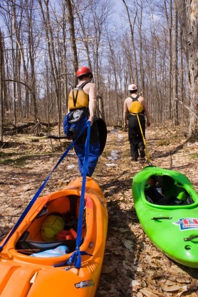
Access: Hike in, starting at the DEC sign on Rte. 8 for Eleventh Mt. Trailhead Parking (1.5 miles).
Takeout 2 miles south on Route 8. Place a marker in a tree at the takeout so you can find it.
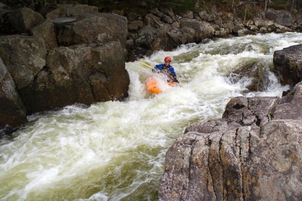
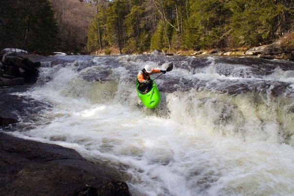
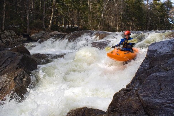
Description: Run starts with some flatwater and a couple of nice ledge drops before dropping into the gorge. The rapids in the gorge are sweet and it's beautiful in there. Some have wood catching potential and one has a decent hole at the bottom. This is a great run, you just have to hike for your turns on this one.
See Volume 2 of Dennis Squires' publishing empire for more info.
South-Eastern Adirondack Area Reaches
Batten Kill Beecher Creek County Line Brook
Dunning Creek East Stony CreekElbow Creek
Georgia Brook Glen CreekHolmes Lake Outlet
Hudson (3. Riparius to the Glen) Hudson (4.) Hudson (5.)
Hudson (6.) Jimmy Creek Mill Creek (Hudson trib.)
North Creek Pike Brook Piseco Outlet
Roaring Branch Sacandaga (1.) Sacandaga (2.)
Sacandaga, E. Branch (1.) Sacandaga, E. Branch (2.) Sacandaga, E. Branch (3.)
Sacandaga, Middle Branch Sacandaga, W. Branch (Upper) Sacandaga, W. Branch (Lower)
Sand Creek Schroon (Starbuckville to Riverbank) Schroon (Warrensburg to Thurman Station)
Stony Creek (1.) Stony Creek (2.)Tenant Creek
Wolf Creek
Google Map of New York Whitewater
New York Whitewater Paddlers Facebook Group
Rapids in this Run (2)
Waterfalls (2)
Difficulty
Class IV
Length
3.0 mi
Gradient
77 ft/mi
max 110
Rapids
2
Access Points
Difficulty Classes
I Easy
II Novice
III Intermediate
IV Advanced
V Expert/Extreme
VI Unrunnable
Current Conditions
5-Day Forecast
Whitewater data from
American Whitewater
American Whitewater