1. Forest Service Road 475-A @ Cove Creek to Low Head Dam
Gauge Conditions
Runnable: 2.0 – 6.0 FT
Upper limit for best boatability uncertain. Please help your fellow boaters with a comment or report.
Data from American Whitewater & USGS
Run Map
Description
An alt. put-in .8 mile above Cove Creek where three forks come together. This adds .8 mile and 80 ft. or so of gradient.
There is a well used and maintained trail running the length of the river on the left side, which is often high above the creek on a steep bank.
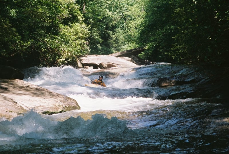
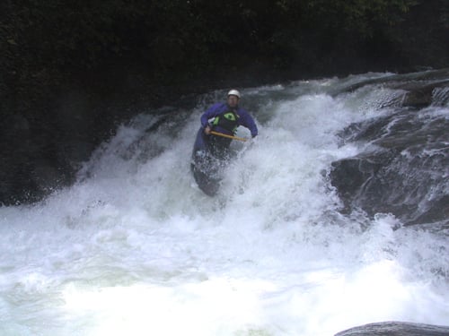
This run starts off with its largest rapids right at the start and has numerous class III-IV rapids within this section. Shortly downstream of Breakfast, Lunch, and Dinner there is a new sieve on river left where the main flow pours under a flat rock with a chockstone also blocking the exit. It is fairly obvious at low water with careful boat scouting.
With its non-stop boogie and beautiful setting within the rhododendron undergrowth you'll want to do a few quick laps of this section, and with a riverside trail it is also possible to get your mountain biking fix for the week running the shuttles. But while blasting down keep in mind that wood is a frequent visitor of this stream bed.
Rapids in this Run (1)
Waterfalls (1)
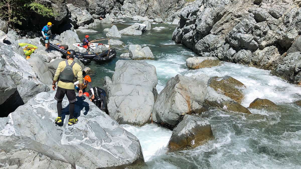
Hazards & Portages (2)
Caution: The following locations may require scouting or portaging. Always check current conditions.
Difficulty
Class III-IV
Length
1.5 mi
Gradient
120 ft/mi
Rapids
1
2 Hazards
Access Points
Difficulty Classes
I Easy
II Novice
III Intermediate
IV Advanced
V Expert/Extreme
VI Unrunnable
Current Conditions
5-Day Forecast
Whitewater data from
American Whitewater
American Whitewater