1) Hills Creek Dam to Black canyon campground
Gauge Conditions
Runnable: 450.0 – 6,000.0 CFS
Data from American Whitewater & USGS
Run Map
Run Time Estimate
Select put-in and take-out to estimate time.
Plan This Trip
See wind-adjusted speed maps, forecast planning, and detailed time estimates.
Sign in to generate an AI timing estimate for this run.
Whitewater timing varies with scouting, portages, and group pace. Use as a planning baseline.
Description
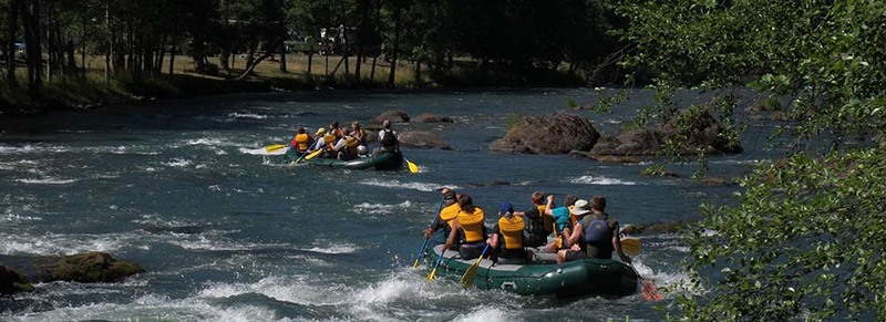
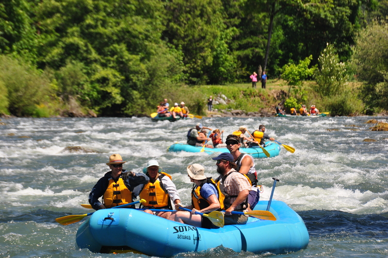
This upper Willamette strech is a fun year round run. Its easy access, predictable flows, and beginner friendly character make it a worthwhile trip. Hills Creek Dam to Black Canyon Campground is generally divided into two sections.
Hills Creek Dam - Ferrin (highway 58 bridge), or North Fork and Middlefork Confluence
This section has most of the action along with the best scenery. From the put in bridge to Greenwaters Park you'll find some good class II action in a forested setting. The remaining rapids are spread out along the urban shoreline.
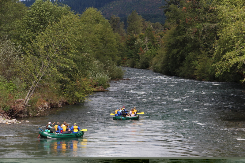
Ferrin - Black Canyon Campground.
Below Ferrin bridge you'll have a mile or two of flat water before reaching 'Devils Kitchen'- easly identifiable by the green bridge just before the rapid. Below that the river gains in volume from the North Fork of the Willamette on river right. Alternate access at the Westfir City Boat Ramp on river right, upstream of the confluence with the north fork. Another 5-6 miles of navigable class II remain. With some good side hikes such as: Bridge creek & Tire creek.
Flows
The gauges measures the outflow of Hills Creek Dam. The minimum outflow of the dam is 400, which is still enough for a raft or drift boat (in my opnion). Generally the objective of the release is to control temperature downstream, so as the weather gets hotter and dryer the Army Corps will release more and more water.
Shuttle:
The Lower:
Take-out: From Interstate 5 take Highway 58 East toward Oakridge. At mile 27 you will reach Black Canyon Campground, which is the take-out for the lower. Fee's apply.
Put-In: Continue upriver (east) on Highway 58. After mile marker 33, you'll cross the river (Ferrin bridge). On the left side after a bridge is a small dirt road with river access. As of 2019 this access has a locked gate. Alternate access is at the Westfir City Boat ramp 1/2 mile downstream of the green 'Devils Kitchen Bridge.' At the confluence of the North Fork and North Fork Middle Fork Rivers.
The Upper:
Take-out: Going East on highway 58, between mile marker 33 & 34 you'll cross the river on Ferrin bridge. On the East side of the bridge is a dirt road with river access. Alternately, and to add Devils Kitchen, takeout at the Westfir City Boat Ramp, at the the confluence of the North Fork Middle Fork and Middle Fork.
Put-In: Get back on 58 Eastbound. 5.4 miles turn right on Kitson Springs road. 1/2 mile turn right on Diamond drive or FS road 21. Just before the bridge (1/4 mile) is river access with boat ramp.
Additional References
Full description in Soggy Sneakers. Write up #78. Page 114
YouTube video: SUP descent from Hills Creek Dam to Westfir
Rapids in this Run (3)
Difficulty
Class II
Length
11.3 mi
Gradient
18 ft/mi
Rapids
3
Access Points
Difficulty Classes
I Easy
II Novice
III Intermediate
IV Advanced
V Expert/Extreme
VI Unrunnable
Current Conditions
5-Day Forecast
Whitewater data from
American Whitewater
American Whitewater