1. Kephart Trail Bridge to Smokemont Campground Bridge
Gauge Conditions
Runnable: 0.0 – 1,500.0 CFS
Too Low to Boat (L0-L9)
Data from American Whitewater & USGS
Run Map
Interactive run map
Loads as you approach this section.
Description
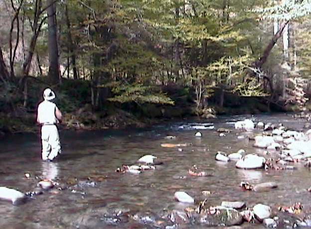
The headwaters for the Oconaluftee River are in the Great Smoky Mountains National Park. It is formed by the confluence of three streams, Beech Flats Prong, Kephart Prong, and Kanati Fork. The confluence of these streams is litte more than a tenth of a mile above the footbridge on the Kephart Trail, just off US 441. From here the stream winds to the south, with US 441 paralleling the river to the west. The run is roadside, but for the most part the river veers from the highway.
The watershed for the river is like other streams within the park relatively small, less than 200 square miles. It is a beautiful cold water stream. The water is clear and the quality is good. Given the size of the watershed, the river can only be paddled after significant rain.
The river is described into two sections for the 7.3 miles from headwaters to the Oconaluftee Visitor Center. The first section, from the Kephart Bridge to the Smokemont Campground the run is predominately through rock gardens, punctuated by ledge drops. In the second section, after the campground, the river gains volume and widens, and continues to be highlighted by a series of ledge drops, Smokemont Ledge and the Elbow.
Below the Visitor’s Center, the river is soon joined by the Raven Fork, increasing its volume by at least one-third. In approximately another half mile the river leaves the national park and enters the Cherokee Indian Reservation. This section through the town of Cherokee was once very popular, but it can no longer be paddled. The Reservation has continued to ban all boating on waters passing through its land. Paddling is completely legal in the National Park; no permit is required. Make certain that you park only in designated parking areas.
Notice: The AW recommended flows of 1000-1500 cfs for this reach are a bit on the low side. Higher flows would likely be more enjoyable, but would severely increase the danger due to lack of eddies and the large amount of wood present. - _Seth O'Shields 12/24/2012_
Difficulty
Class III
Length
4.2 mi
Gradient
149 ft/mi
Rapids
5
Access Points
Difficulty Classes
I Easy
II Novice
III Intermediate
IV Advanced
V Expert/Extreme
VI Unrunnable
Current Conditions
5-Day Forecast
Whitewater data from
American Whitewater
American Whitewater