1. SH 71 to Lost Creek (12 miles)
Gauge Conditions
Runnable: 200.0 – 10,000.0 CFS
Upper limit for best boatability uncertain. Please help your fellow boaters with a comment or report.
Runnable: 150.0 – 10,000.0 CFS
Upper limit for best boatability uncertain. Please help your fellow boaters with a comment or report.
Data from American Whitewater & USGS
Run Map
Description
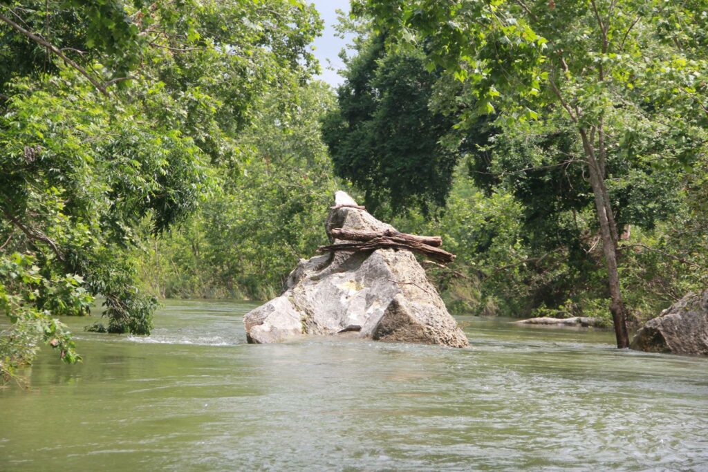
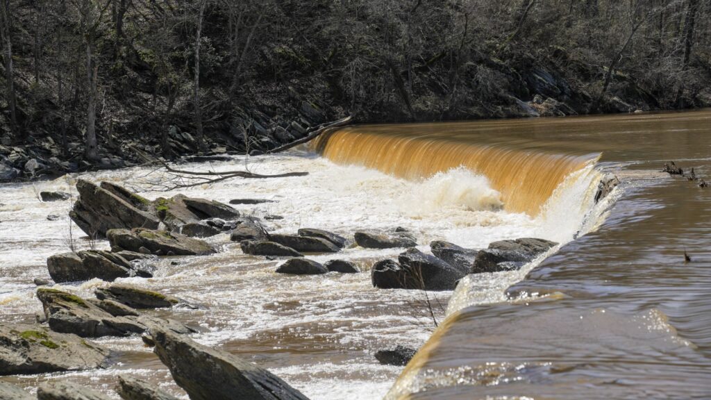
This section of Barton Creek is very scenic, is surprisingly continuous (very little flat water), and is generally runnable at lower flows than the sections below Lost Creek. With the exception of the dams and other man-made obstacles (all of which are described below), the rapids are all Class II. However, if there has not been a flood recently, the natural rapids will likely become clogged with saplings and strainers and may require some Class II+/III- moves to avoid these. This stretch of the creek is also notorious for downed trees, some of which can create river-wide must-portage hazards, so be vigilant. The banks are all private property, so there is no way to shorten the run.
Distances and gradient measured using GIS tools in 2015.
Rapids in this Run (4)

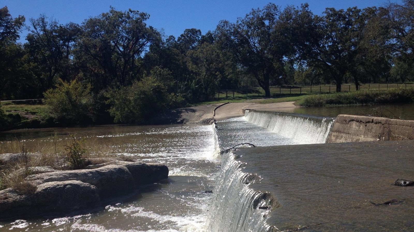
Hazards & Portages (2)
Caution: The following locations may require scouting or portaging. Always check current conditions.
Difficulty
Class II+
Length
12.0 mi
Gradient
13 ft/mi
Rapids
4
2 Hazards
Access Points
Difficulty Classes
I Easy
II Novice
III Intermediate
IV Advanced
V Expert/Extreme
VI Unrunnable
Current Conditions
5-Day Forecast
Whitewater data from
American Whitewater
American Whitewater