1. The Confluence to Leatherwood Ford
Gauge Conditions
Runnable: 400.0 – 5,000.0 CFS
Data from American Whitewater & USGS
Run Map
Description
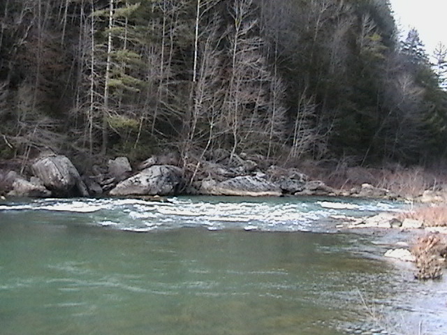
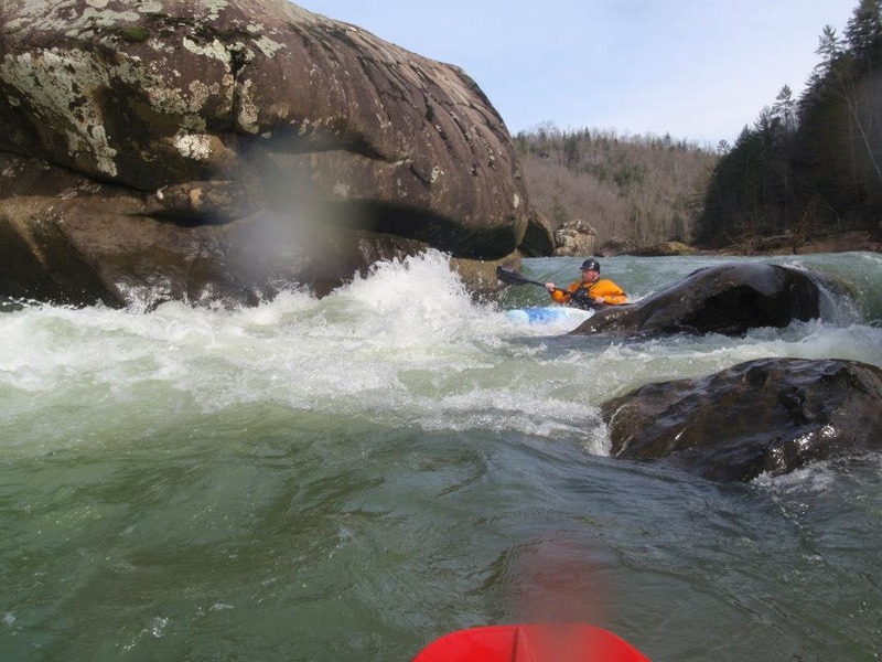
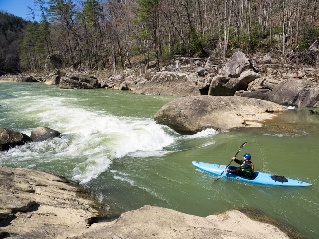
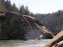
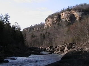
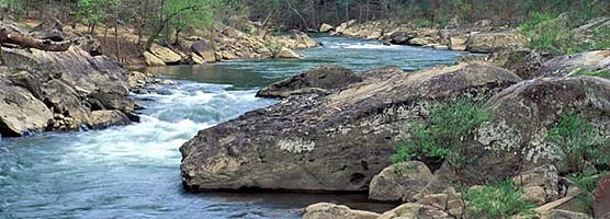
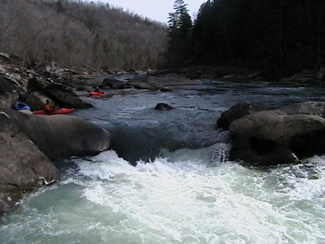
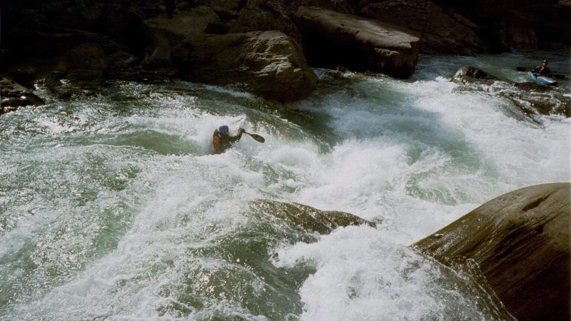
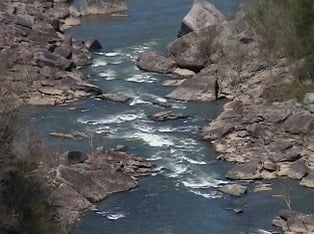
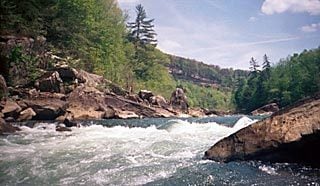
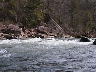
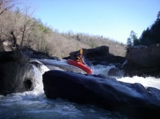
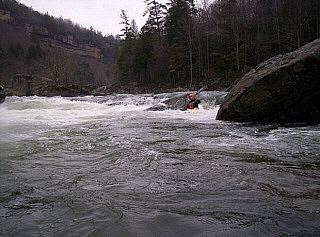
Big South Fork of the Cumberland is one of the hidden crown jewels of the Cumberland Plateau in East Tennessee. Formed by New River and Clear Fork near Oneida, Tennessee, this class II-IV run offers a big water adventure through a cliff lined gorge that is accessible only at a few points. Bring a playboat, river-runner, canoe, or raft. This run is truly a wilderness whitewater adventure.
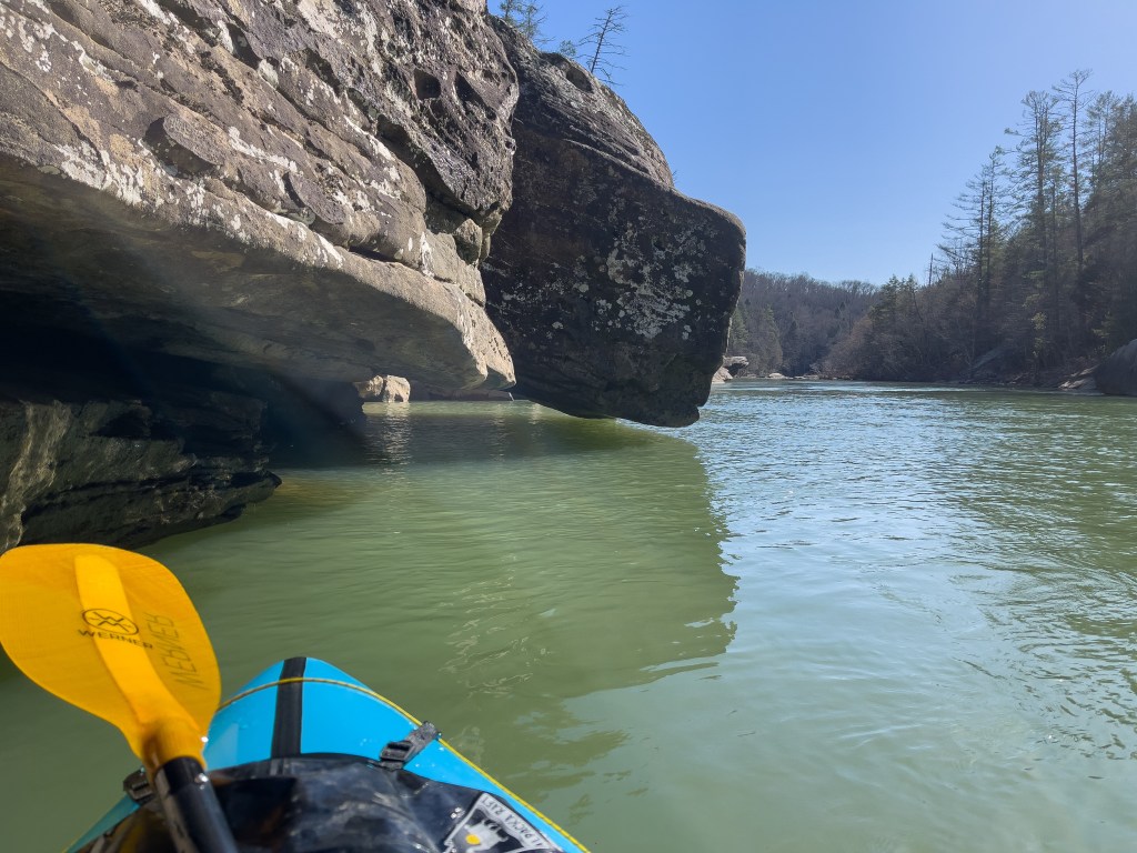
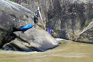
The rock structure is typical Cumberland plateau sandstone, which locals know and love, but which can be unnerving for visitors to the area. Beware of deep undercuts and sieves and treat every rock as if it had water underneath it until proven otherwise.
There are only a few (3?) actual class IV rapids, but they are classic and fun at a wide range of flows. There are also some very long pools, so go prepared to paddle your way across the flats, or spend a very very long time waiting for the wind to blow you there.
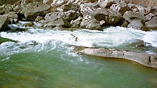
For those who don't want to run the class IV's, it's possible to put in at O&W and join for just the bottom couple of miles of the run. There's some great surfing in the O&W area.
Put-ins and Take-outs
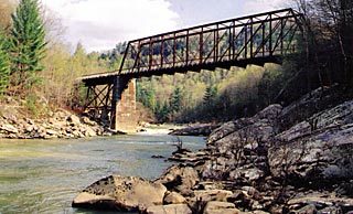
There are several take-outs and put-ins for the Big South Fork. The run documented on this site is from the confluence of New River and Clear Fork to Leatherwood Ford. It is 6.2 miles in length and will take 2 to 4 hours (or longer) to complete.
The main take-out is at Leatherwood Ford where heated changing/restrooms are available. This is the most accessible take-out on this run with paved roads all the way. There is one additional take-out at the O&W Railroad Bridge. This take-out eliminates the last 2 miles of the run, which consists entirely of flat water with two class II rapids. If you put-in at the Confluence and take-out at the O&W Railroad Bridge, the run is only 4.2 miles and takes about 1 1/2 hours to complete. This run consists of almost all the class III and IV rapids on the entire Big South Fork. The O&W road is in much better shape now than in years past. In the spring of 2004, the Scott County Road Department graded, graveled, and ditched the road. Since that time, it has developed several potholes but is still in descent shape for a Scott County back road.
Confluence to Leatherwood Ford Shuttle Information
From Leatherwood Ford take SR 297 east for approximately 7 miles. You'll come to Coopertown Road. Make a right and go approximately 4 miles. Turn right on Verdun Road. Go 1.2 miles and make a right on US Hwy 27. Go 1.2 miles and make a right at the airport sign (formerly a Subway existed here). Cross the railroad and take a left on Detour Rd. Go 1 mile and make a right on Airport Road. You'll then go 1 mile where John Long Road will veer left by some oil tanks. Stay on John Long Road till it ends at the Confluence put-in parking lot. This road is 4.8 miles in length.
O&W Railroad Bridge Access
The O&W Railroad Bridge can be accessed from Verdun Road. About halfway between SR 297 and US Hwy 27 on Verdun Road is the Edgewood Estates entrance. This is where O&W Road begins in a sharp curve. The bridge is approximately 8.6 miles. The easiest access is upstream from the bridge on river right.
The Canyon Section Run
Two miles upstream from the O&W Railroad Bridge is the Pine Creek put-in. You'll know the put-in by the gated road that drops off beside O&W Road. This put-in is just above Maria's Rock which is the start of the Canyon Section. This playable two-mile section offers big wave trains at around 3,000cfs and is great for those who don't want to run the entire Big South Fork section. Multiple runs on this section can be fun, fun, fun!
Shuttle Map
Here is a link to a Big South Fork area map. The roads mentioned above are very detailed on this map.
Additional Information
For additional information about paddling the Big South Fork, checkout A Guide to Paddling in the Big South Fork.
Other Area Runs
Clear Fork Brewster Bridge to Burnt Mill Bridge 10 miles Class II+
Clear Fork Burnt Mill Bridge to the Confluence 4 miles Class II-III
Cumberland, Big South Fork Leatherwood Ford to Station Camp 8 miles Class I-II (IV)
Cumberland, Big South Fork Station Camp to Blue Heron, KY 19 miles Class II+ (IV)
North White Oak Creek Zenith Mines to Leatherwood Ford 7.8 miles Class II
Pine Creek Bend in Road to Big South Fork 0.85 miles Class IV-V
White Oak Creek Hwy 52 to Clear Fork 6 miles Class I-II (III)
Here is a link for all information on the Big South Fork National River and Recreation Area.
Contact the streamKeeper: Brandon Hughett, Knoxville, Tennessee
Rapids in this Run (10)
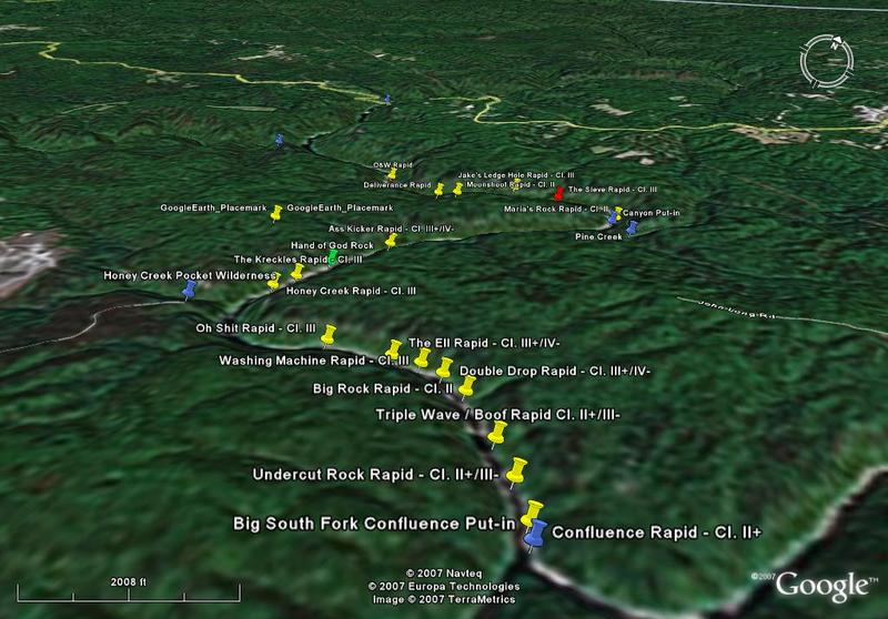
Waterfalls (1)
Playspots (4)
Hazards & Portages (7)
Caution: The following locations may require scouting or portaging. Always check current conditions.
Difficulty
Class II-IV
Length
7.1 mi
Gradient
20 ft/mi
max 40
Rapids
10
7 Hazards
Access Points
Difficulty Classes
I Easy
II Novice
III Intermediate
IV Advanced
V Expert/Extreme
VI Unrunnable
Current Conditions
5-Day Forecast
Whitewater data from
American Whitewater
American Whitewater