1. Upper Ash
Gauge Conditions
Runnable: 260.0 – 1,700.0 CFS
Data from American Whitewater & USGS
Run Map
Run Time Estimate
Select put-in and take-out to estimate time.
Plan This Trip
See wind-adjusted speed maps, forecast planning, and detailed time estimates.
Sign in to generate an AI timing estimate for this run.
Whitewater timing varies with scouting, portages, and group pace. Use as a planning baseline.
Description
### Thanks to Allan Berggren for the following information
The Ashuelot is the quintessential 'step-up-to-Class III' stream. It has 3-ft. drops, sometimes in complex, with plenty of recovery pools. It has, in addition, a Class IV Surprise at the top and a IV- gorge at the bottom (at low levels). At splashing 7 on the Gilsum gauge, Surprise has monster holes, and the gorge goes thrashing around a corner, splits over a knife-edge, etc., etc. What remained was four miles of quite continuous Class IV action, with big holes, sometimes 3/4 the width of the stream, and complex pourover-mixmaster combos which made us shift from 'let's find a feature' mode to something more timid--'maybe I can afford to catch the edge of this hole, curl the edge of that drop.' I have just bought an Ultraclean-- However, in this water, the decks are constantly awash, and the ends rarely out of water. I found myself slicing through the far side of holes going downstream, being frequently held in suspension over drops, buried in bubbles up to my navel, and having to paddle briskly leaning foreward to avoid being backendered more than I already was. Ryan found the run at this level a memorable experience, and it was a kick to see him disappear over standing waves, ledge drops, and to see him struggle through the 10-yd foam piles in the narrow places. One curl thrust me about 5 ft to the right in one shot.
Note: You can avoid the two toughest sections of this river (Surprise and Gilsum gorge)and cut the trip down to 3.5 miles. Put in about 1/2 downstream of Surprise rapid, (you will also avoid some flatwater here). Take out well above the gorge at an old lumber yard on river left. Gilsum gorge is considered class V in very high water and a difficult Class IV+ in high water.
Gilsum Gorge also has a keeper hole at low flow, so all paddlers should be wary and scout this carefully before entering it.
### Technical info
```
Put in elevation........1069'
Take out elevation......731'
Total drop..............338'
Average drop/mile.......64'.......Including Surprise and Gilsum gorge
Distance................5.3 miles
1st mile drop...........52'......Includes Surprise rapid
2nd mile drop...........30'
3rd mile drop...........75'
4th mile drop...........69'
5th mile drop...........85'......Includes upper Gulsum gorge
5.3 mile drop...........27'......(90' average) includes lower Gilsum gorge
River width average.....25'
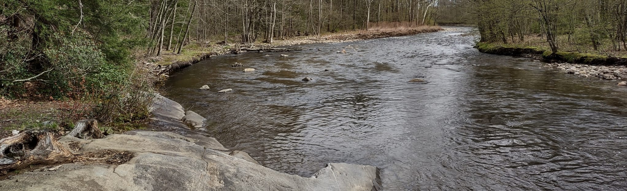
River geology...........Small to medium schist boulders, some ledges
River water quality.....Good, clarity average
Scenery.................Nice river valley usually within view of
route 10, a few homes on the banks.
Wildlife................Occasional deer, hawks
```
## Directions
### Put in
From Keene NH to NH state route 10/12/9 north.
Approximately 3 miles take a left (north) on NH 10.
Approximately 10 miles look for Surprise rapid on your left shortly after crossing over the Marlow town line.
### Take out
Head back south on NH 10 approximately 3 miles.
Park and take out shortly after the first or second river crossings (first one easier).
If you are running Gilsum gorge, take a right at the Gilsum bridge 1.25 miles until the river comes into view with a private bridge crossing.
Rapids in this Run (4)
Difficulty
Class III-IV
Length
5.6 mi
Gradient
64 ft/mi
max 90
Rapids
4
Access Points
Difficulty Classes
I Easy
II Novice
III Intermediate
IV Advanced
V Expert/Extreme
VI Unrunnable
Current Conditions
5-Day Forecast
Whitewater data from
American Whitewater
American Whitewater