1. Upper, Bridge at Flat Creek Rd to Bridge at U.S. Route 64
Gauge Conditions
Runnable: ? – ? CFS
Approximate reading: This gauge is 10.4 miles away on Rocky Broad. Use as a general reference only.
Data from American Whitewater & USGS
Run Map
Description
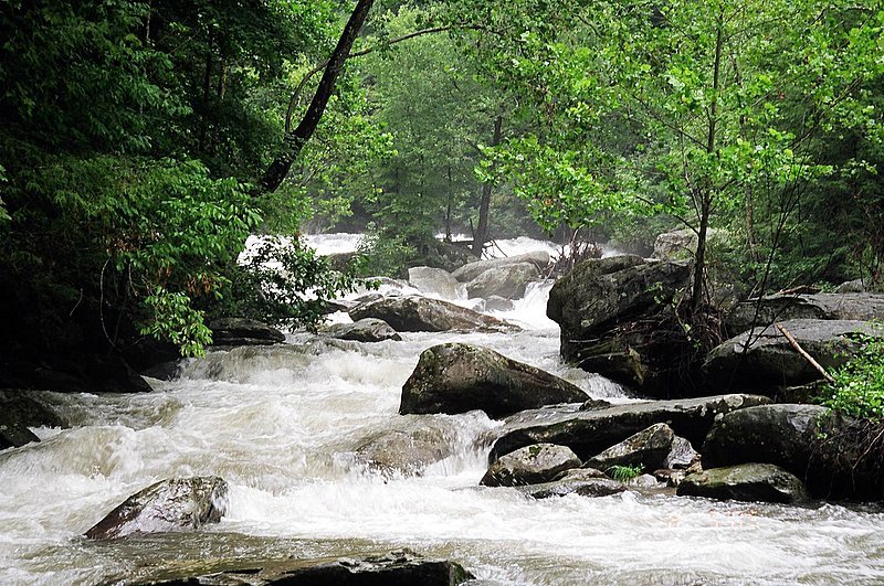
Technically still the Broad River on all the maps but well known as the "Rocky Broad". The second down to Hwy. 64 is known as the Upper Rocky Broad.
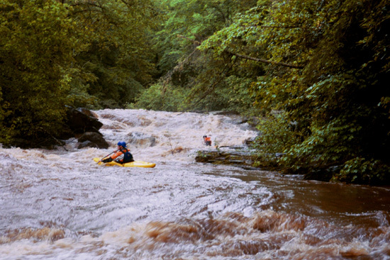
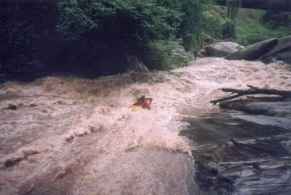
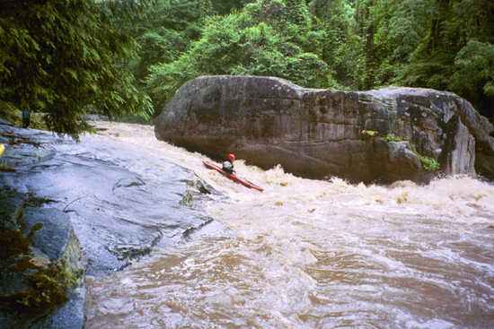
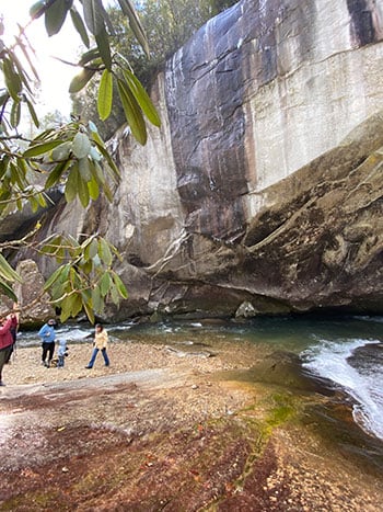
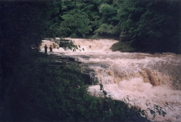
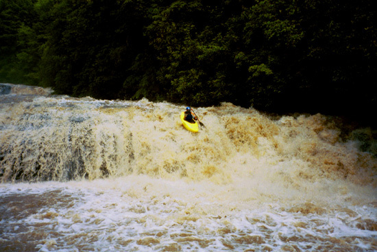
The highlight of the URB 4 good back to back waterfalls in the upper stretch. These are followed by a tree filled boulder garden, then a fast multi-level drop called Flight Simulator, then two slides, then lots of good boulder gardens and boogie water. The last notable rapid before the takeout is a slide around a very nastily undercut boulder that tends to collect a bit of wood. Be aware of trees and strainers on any part of this run, and please post new strainers below using our comments section.
Leland Davis wrote a nice story about the Rocky Broad that honored the memory of the late Pablo Perez -- A Rite of Friendship. This article appeared in the July/August '98 issue of American Whitewater. That incident, which involved a blind drop and a hidden log took the life of one the SE's top paddlers. You can read the AWA Safety Report about that incident.
Levels are determined largely by the amount of rain that hits the top of the watershed, which is between Fairview and Black Mountain, NC. This rugged area, just over the ridge from much of Asheville's hyper-development has thus far stayed largely rural, and responds well to rain, often holding for a solid day at decent levels after a winter rain storm hits the headwaters.
Fortunately for paddlers, that rain is measured by the Automated Flood Warning System, which has rain gauges and a river gauge on the Rocky Broad here. Check the Bat Cave river gauge #1917 for the river level.
AFWS has both a rain and stream gauge located on the Broad River at the intersection of Hwy 64 and Hwy 9 in Bat Cave. The stream gauge does not correlate exactly to the physical paddlers gauge, but as more and more paddlers use this online gauge we are starting to get some correlations. AFWS 3.9 is a scrapy minimum on the Lower. 4.5 is starting to develop push on the Lower. Meanwhile, 5.0 is considered a nice medium level on the upper and 4.6 is probably getting pretty bare.
We are still collecting data points, so please report both USGS visual paddlers gauge data and AFWS data and your impressions of the run in the comments section below.
Rapids in this Run (4)
Difficulty
Class IV-V
Length
3.5 mi
Gradient
127 ft/mi
max 210
Rapids
4
Access Points
Difficulty Classes
I Easy
II Novice
III Intermediate
IV Advanced
V Expert/Extreme
VI Unrunnable
Current Conditions
5-Day Forecast
Whitewater data from
American Whitewater
American Whitewater