1) Upper Pemi
Gauge Conditions
Runnable: 4.5 – 9.0 FT
Data from American Whitewater & USGS
Run Map
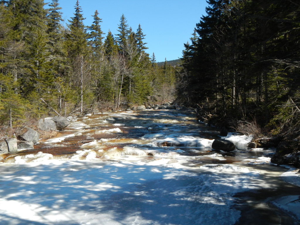
Description
Source: Greg and Sue Hanlon's Steep Creeks of New England, which has more info on this run. Text used with permission.
Directions: Park in The Basin parking area, from I-93 South in Franconia Notch State Park; put in on the North side of the lot.
To takeout: take I-93 South to Exit 1. Follow Rte. 3 South toward Lincoln. The takeout is behind the Indian Head Hotel / Resort on the left. They'll usually allow you to park in the hotel parking lot, but be courteous; we don't want to lose this privilege.
To retrieve a car from the putin, you'll need to drive North on I-93 to Exit 2 (Cannon Mtn. Tramway Exit). Bang an Interstate U-Turn and head South back to The Basin Exit.
The first known descent of the Upper Pemi was April 26, 1992, by Bob Potter, Gary Weiner, Greg Hanlon, and Steve Hyndman. The first run of the North Pole occurred several years later.0
Flow Info:
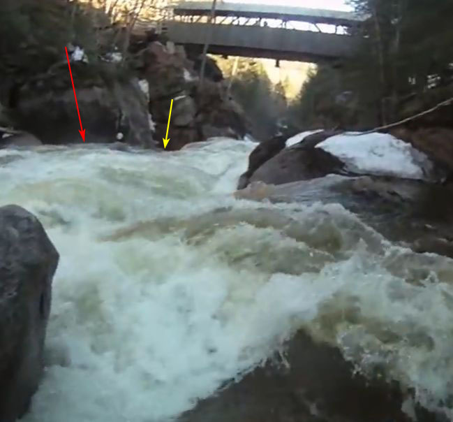
River-left abutment footing platform on the downstream side of the covered bridge below Flume Brook, behind the State Park visitors' center. Two inches below the platform is minimum; two inches above and a foot above are medium and high, respectively.
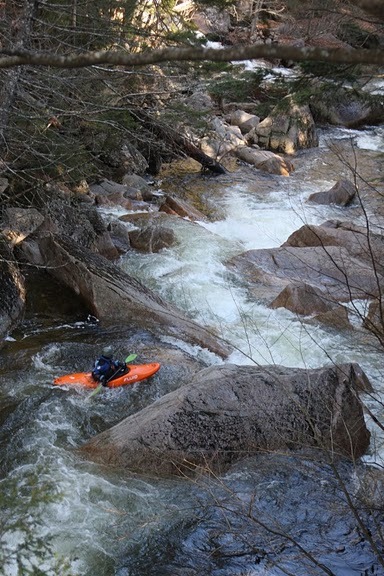
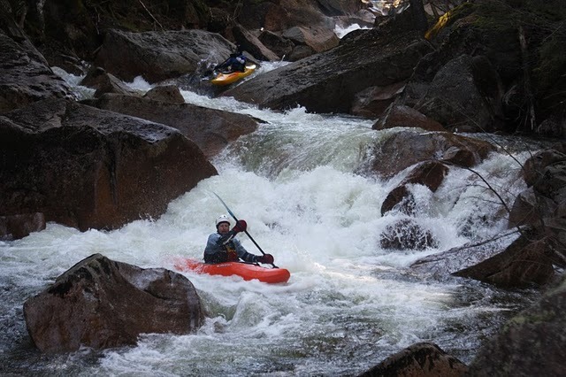
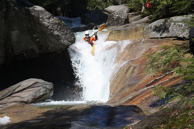
Rapids in this Run (3)
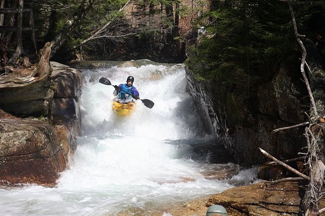
Waterfalls (2)
Hazards & Portages (3)
Caution: The following locations may require scouting or portaging. Always check current conditions.
Difficulty
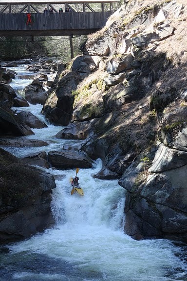
Class V
Length
3.7 mi
Gradient
200 ft/mi
Rapids
3
3 Hazards
Access Points
Difficulty Classes
I Easy
II Novice
III Intermediate
IV Advanced
V Expert/Extreme
VI Unrunnable
Current Conditions
5-Day Forecast
Whitewater data from
American Whitewater
American Whitewater