1. Wassataquoik Lean-to Orin Falls Trailhead/International AT river crossing.
Gauge Conditions
Runnable: 2,500.0 – 10,000.0 CFS
Data from American Whitewater & USGS
Run Map
Interactive run map
Loads as you approach this section.
Description
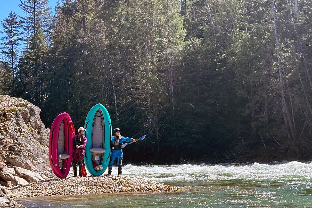
With the headwaters of the Wassatiquoik coming from the north side of Katahdin this run is Maine's ultimate wilderness adventure paddle with a 6-mile hike in, and a 22-mile paddle through Baxter State Park and Katahdin Woods and Waters National Monument. For whitewater, you'll encounter a handful of scoutable class IV rapids, a V+ gorge, and miles and miles of highly scenic class I/II boogie. This best chance for success in catching water on this hard-to-get run is late May to mid-June considering Baxter State Park doesn't open until May 15th and sometimes later with a heavy mud season. This is a large watershed and does come in with healthy rain during the summer months. However, water will quickly drop a day or 2 after a rain event so you need to be on it.
To determine the water level you must look at 3 gauges and do some subtraction. Take USGS East Branch, and subtract the USGS Sebois flow. Then visit the Matagamon Dam Page and also subtract the Matagamon Dam flow and Webster Streamflow. Basically, it's East Branch minus Sebois minus Matagamon Dam minus Webster Stream= Rough amount of water coming from Wassatiquoik. You roughly want to have around 1500 cfs remaining after the correlation for a low-end flow as there are other tributaries that feed into the East Branch Penobscot above the guage in Grindstone.
There are two different locations you can take out. The first takeout you can use is at the Orin Falls trailhead in the Katahdin Woods and Waters Monument. Beware this option is not very obvious from the river and if you miss the little trail sign for the International AT it is likely you'll float by. A short walk from the trailhead up the road will bring you to a bank above the river. This is the best place to get a visual of the river to determine the flow. Not far from here is the International AT river ford which is 1st take-out for the Upper or Put-In for the lower. Below here is some of the best and most scenic class II/III boogie water on the run. If you hiked in and paddled all this way you might as well do the full journey down to the Whetstone Falls Bridge on the Swift Brook Road on the East Branch Penobscot, which is off the Grindstone Road(RT 11) The full trip, hike included, can be done in the long days of late May and June if you set shuttle the night before and either camp at Roaring Brook or be at the south gate at 6AM to drive into Roaring Brook.
Baxter State Park does not open until May 15th and sometimes later with a heavy mud season. To access the put-in I'd recommend getting a ride to Roaring Brook Campground. From Roaring Brook follow the Russel Pond Trail roughly 6 miles to the Wassatiquoik Lean-To.
Make sure to check in with the ranger at Roaring Brook and you can see the astonishment on their faces as you tell them your plan. The Russel Pond Trail walking is pretty good as you meander on mostly flat terrain towards the put-in at Wassatiquoik Lean-to. The actions get going quickly. A little downstream you'll come to the first class IV rapid. After the first rapid you'll enjoy some fun class II/III Boogey for a distance then you'll start to come to a white granite gorge. Take out ASAP and you can scout/portage river right. There first part of the gorge is tempting class III/IV rapids, but before long this turns into a class V+ committing gorge with waterfalls, caves, and no eddies. Once below the gorge, you'll continue into more Boogey rapids with several larger scoutable rapids. Once through Orin Falls, all the major rapids are over and you've got nothing but scenic boogie water for miles and miles with beautifully braided sections with perfect pebble beaches and pristine Maine wilderness. If you are taking out at the Orin Falls trailhead it is roughly 3 miles downstream of Orin Falls keep a strict lookout on both sides of the river for signage marking the International AT.
Rapids in this Run (2)
Difficulty
Class III-IV(V+)
Length
13.0 mi
Rapids
2
Access Points
Difficulty Classes
I Easy
II Novice
III Intermediate
IV Advanced
V Expert/Extreme
VI Unrunnable
Current Conditions
5-Day Forecast
Whitewater data from
American Whitewater
American Whitewater