10. Bluestone Dam to Sandstone
Gauge Conditions
Runnable: 1.4 – 5.0 FT
Data from American Whitewater & USGS
Run Map
Run Time Estimate
Select put-in and take-out to estimate time.
Plan This Trip
See wind-adjusted speed maps, forecast planning, and detailed time estimates.
Sign in to generate an AI timing estimate for this run.
Whitewater timing varies with scouting, portages, and group pace. Use as a planning baseline.
Description
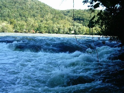
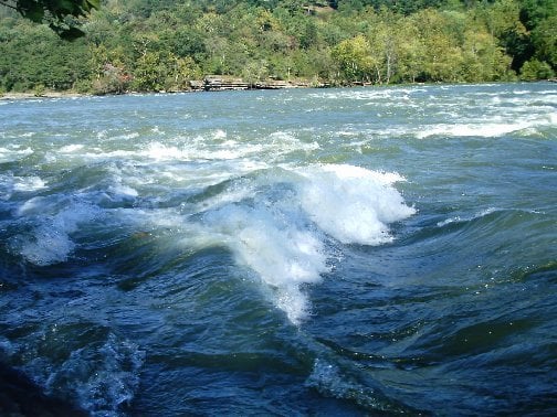
Notable rapids on this stretch include:
Tug Creek Rapids
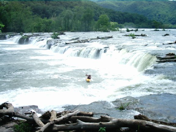
Brooks Falls
Right side of Brooks Island - two separate ledges
Sandstone Falls
The National Park Service lists Sandstone Falls as a mandatory portage.
However if you are going to run the Falls carefully scout because the wood that hangs up here both above and below the drops is constantly changing. Most boaters run the river left side, however the biggest drop is on the river right side (20' to 25'ft). After spring, high water river buoys usually mark the approach well above the falls but they can get washed away. Several boaters have mistakenly gone over the falls.
The National Park Service has developed several access points mostly on river left. There are easy access/portage/scouting above and below Brooks Falls and Sandstone Falls.
There is an alternate put in behind the Advance Auto store in Hinton if you want to skip about a mile of class II/flatwater directly below the dam.
This section (unlike the other Upper New sections) does not wash out, it only gets bigger.
For lower water runs, below 4ft, intermediate to advanced boaters will have the most fun by skipping a lot of class 1+ water and putting in right above Tug creek rapid on river left on River Rd. There is a small stream access point here complete with parking and porta-potty. Set shuttle at Brooks and then drive down to Sandstone.
NPS Guide to paddling the New River
NPS map of the New & Gauley Rivers
Rapids in this Run (4)
Waterfalls (1)
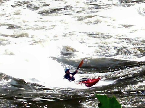
Playspots (3)

Hazards & Portages (1)
Caution: The following locations may require scouting or portaging. Always check current conditions.
Difficulty
Class I-III(IV)
Length
11.0 mi
Gradient
10 ft/mi
Rapids
4
1 Hazard
Access Points
Difficulty Classes
I Easy
II Novice
III Intermediate
IV Advanced
V Expert/Extreme
VI Unrunnable
Current Conditions
5-Day Forecast
Whitewater data from
American Whitewater
American Whitewater