15. Westwater to Rose Ranch (Westwater Canyon)
Gauge Conditions
Runnable: 2,000.0 – 30,000.0 CFS
Optimal flow range (flows based on 2014 Colorado Basin Flow Study).
Data from American Whitewater & USGS
Run Map
Run Time Estimate
Select put-in and take-out to estimate time.
Plan This Trip
See wind-adjusted speed maps, forecast planning, and detailed time estimates.
Sign in to generate an AI timing estimate for this run.
Whitewater timing varies with scouting, portages, and group pace. Use as a planning baseline.
Description
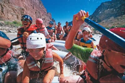
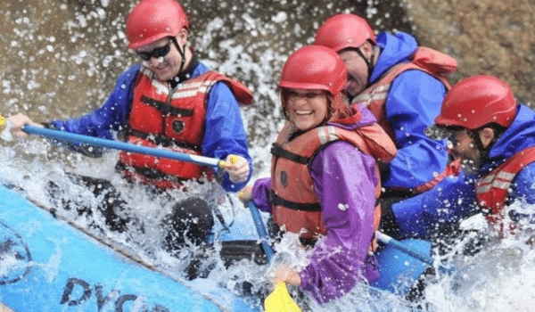
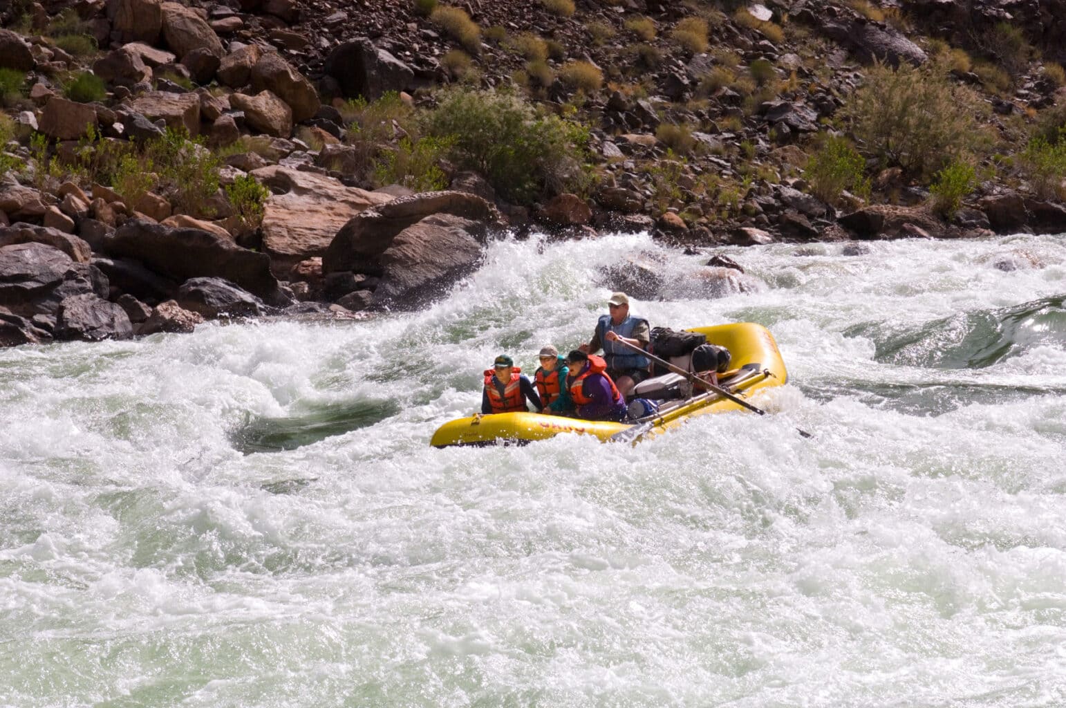
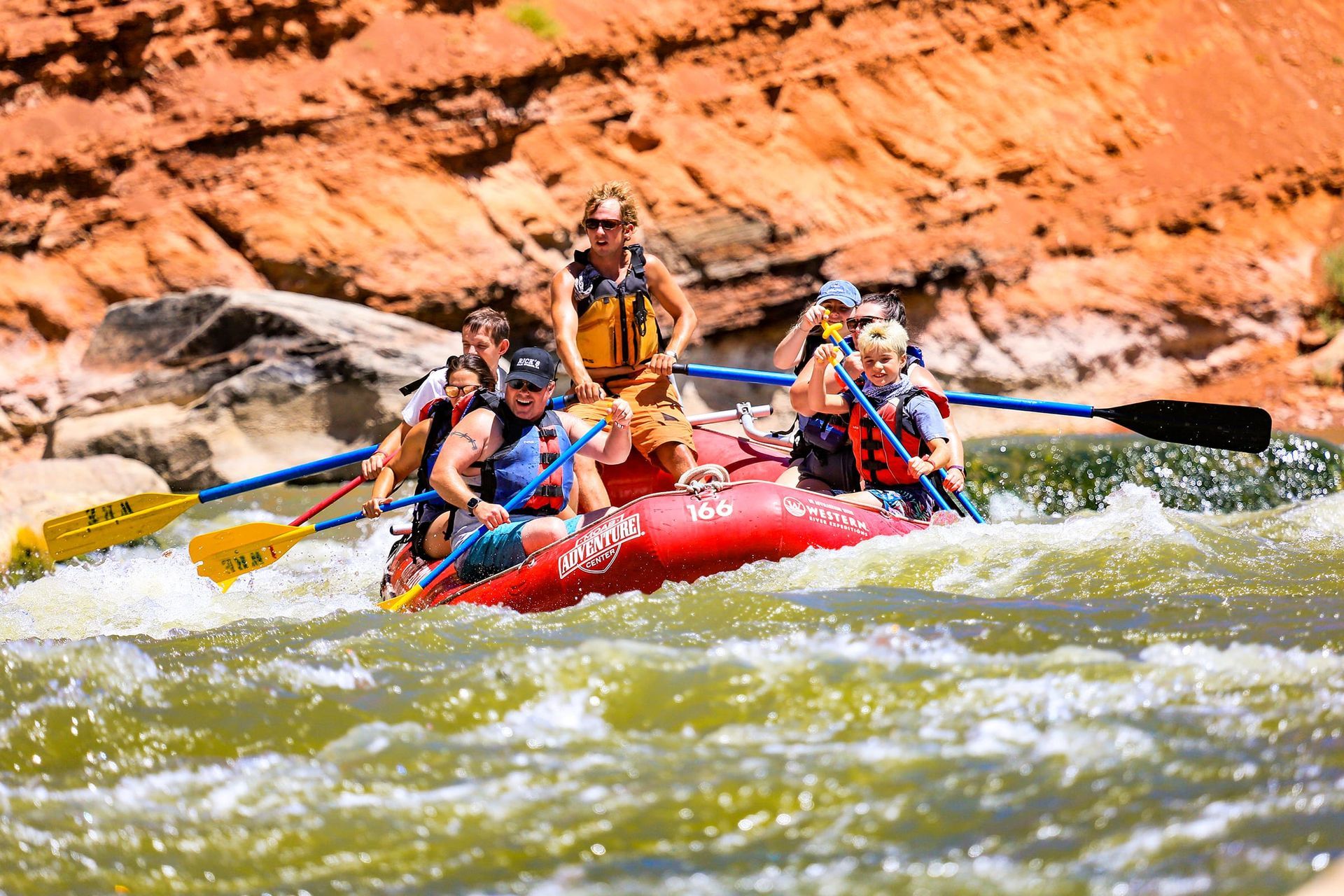
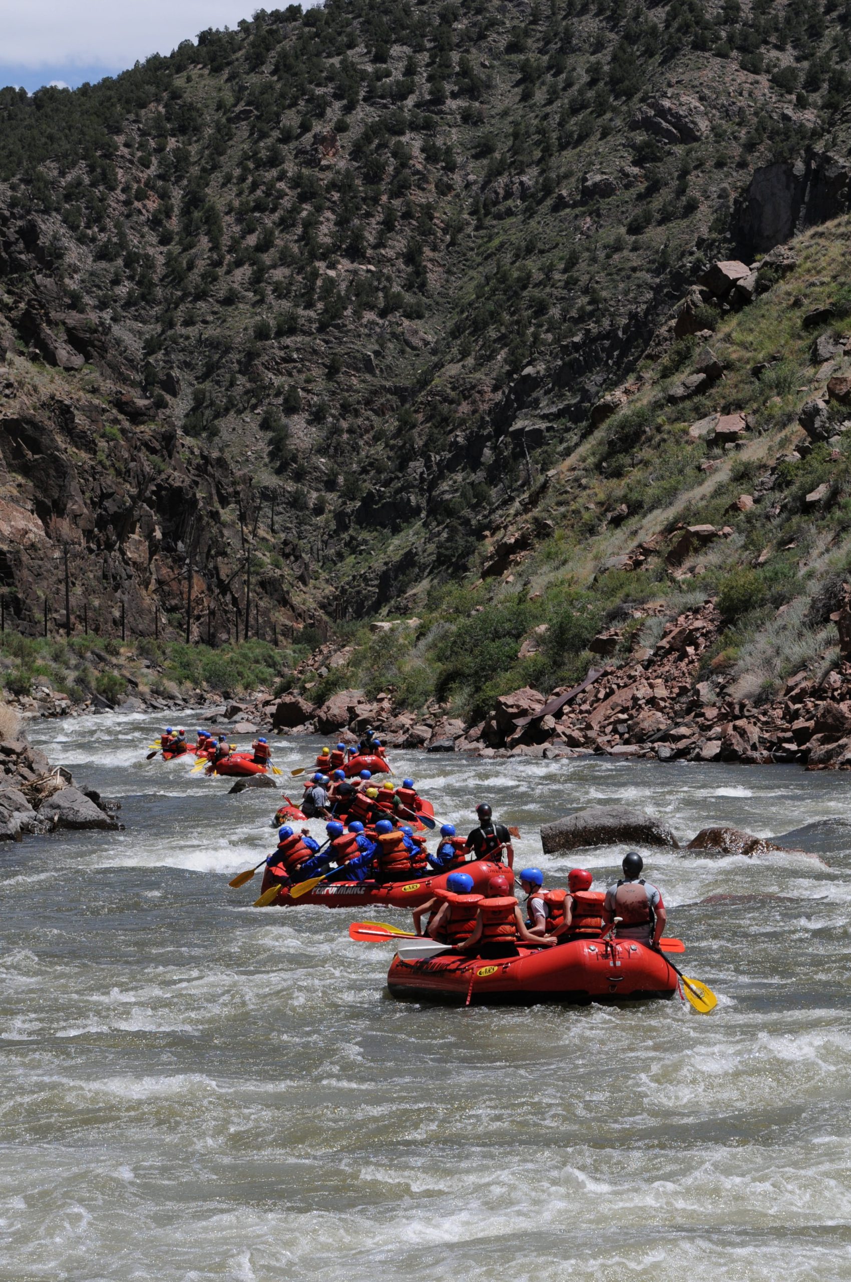
Westwater Canyon of the Colorado River is a classic desert overnight float trip. You'll find great Class III+ whitewater (Class IV at higher water), good camping, and beautiful desert scenery. The rapids are concentrated in a 2-mile stretch, with ~8 miles of mostly flatwater beforehand and ~6 miles of mostly flatwater afterwards.
### Logistics
There is a ranger station and campground at the put-in. The campground has seven small first-come/first-served sites (#1-#7; $20/site), four small sites that are bookable on recreation.gov (#8-#11; $28/site), and one large group site that's bookable on recreation.gov ($58). Sites 1-7 are in foliage along the river and are the most pleasant option; sites 8-11 and the group site are in the former overflow parking lot.
BLM shuttle map: https://www.blm.gov/sites/default/files/WestwaterMapJan2013%20508c.pdf
The put-in is accessible from I-70 exit 227 ('Westwater') or exit 221 ('Sulphur'). The route from the Sulphur exit requires driving through deep sand and can be problematic during and after periods of heavy rain. The route from the Westwater exit is easy -- follow the only paved road.
The take-out is accessible from I-70 exit 214 ('Danish Flat') or exit 204 ('Cisco'). The roads from both exits are paved. From either exit, drive to the semi-ghost-town of Cisco, then turn south on the unsigned Cisco Pumphouse Road. 3 miles from town, the road forks, with brown BLM signs for both the Cisco Boat Launch (upper takeout) and Fish Ford (lower takeout).
Shuttle is +/- two hours of driving. The Kokopelli Trail offers a pleasant mountain bike shuttle option; it's also possible to drive the Kokopelli Trail, but this is slower than driving I-70.
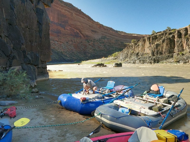
The entire run could be done in a day, but it's much more fun to take your time and not have to race through the flatwater sections. You can also camp for one night (on your launch date) in one of the beautiful riverside camps in the canyon. Camps are assigned by the ranger in the morning, and groups that are ready to launch first get first choice of sites.
### Required Gear and Leave No Trace
A list of required gear is linked from the permit page. Read it carefully; there will be a pre-trip inspection.
Pee in the river, not in the desert. Please help us protect and preserve the special soils and unique historical artifacts within Westwater Canyon. Microtrash must die!
Please bring your boating skills, river rescue skills, and experience with Class IV conditions and avoid mishap with your best preparation for a remote river canyon.
### River Reach Description
BLM river map: https://www.blm.gov/sites/default/files/docs/2021-06/BLMUtahWestwaterRiverRecreation.pdf
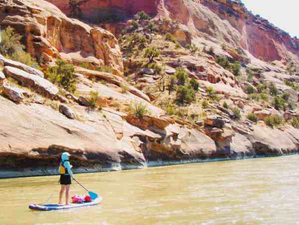
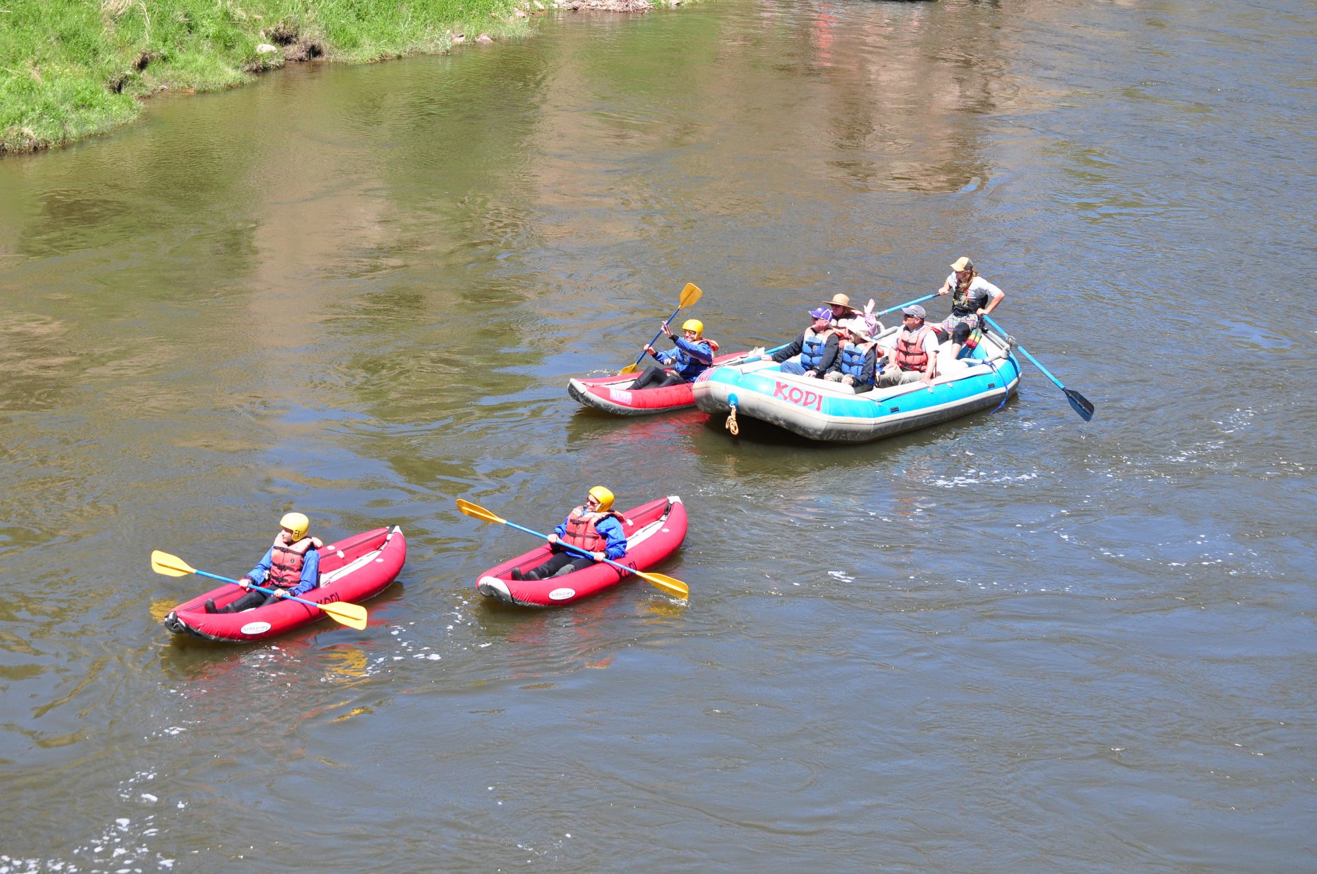
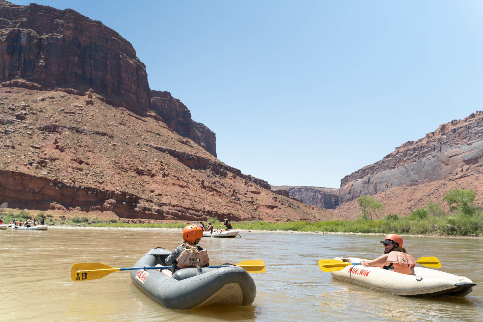
The first few miles of this reach are a lazy float then class II rapids murmur with great Utah redrock canyon scenery surrounding. Kayakers can find fun playspots while those on the rafts bask in the sun and enjoy the view. There are several spots where you can stop and take a short hike to explore the landscape. Bald eagles and other desert species abound.
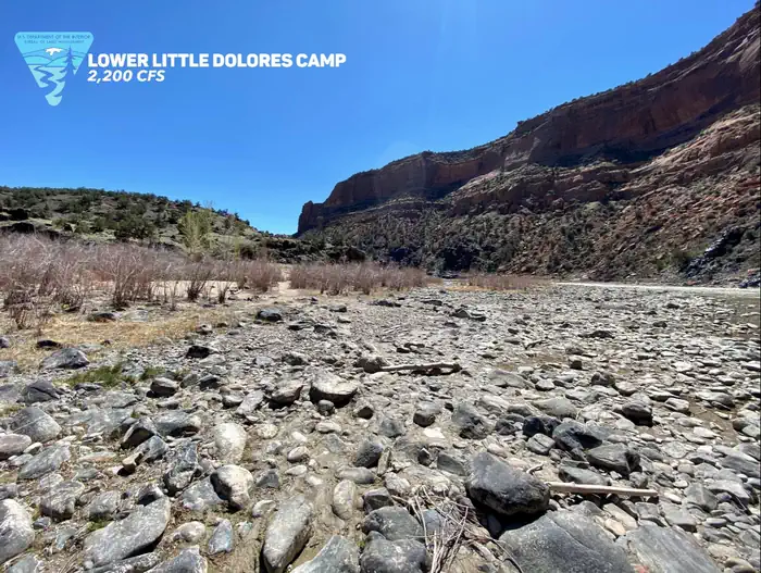
With the transition between redrock sandstone and the black gneiss of the main gorge of the river begins to pick up the pace at Little Dolores (near mile 7), and you begin to get a taste of the rapids that lie just downstream. There are a couple of good campsites here at the start of the main whitewater section with the added bonus of a great surfing wave in Little Dolores rapid. You will also find a good hike up to a waterfall and nice little swimming hole on the Little Dolores River (when there's water).
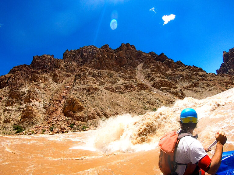
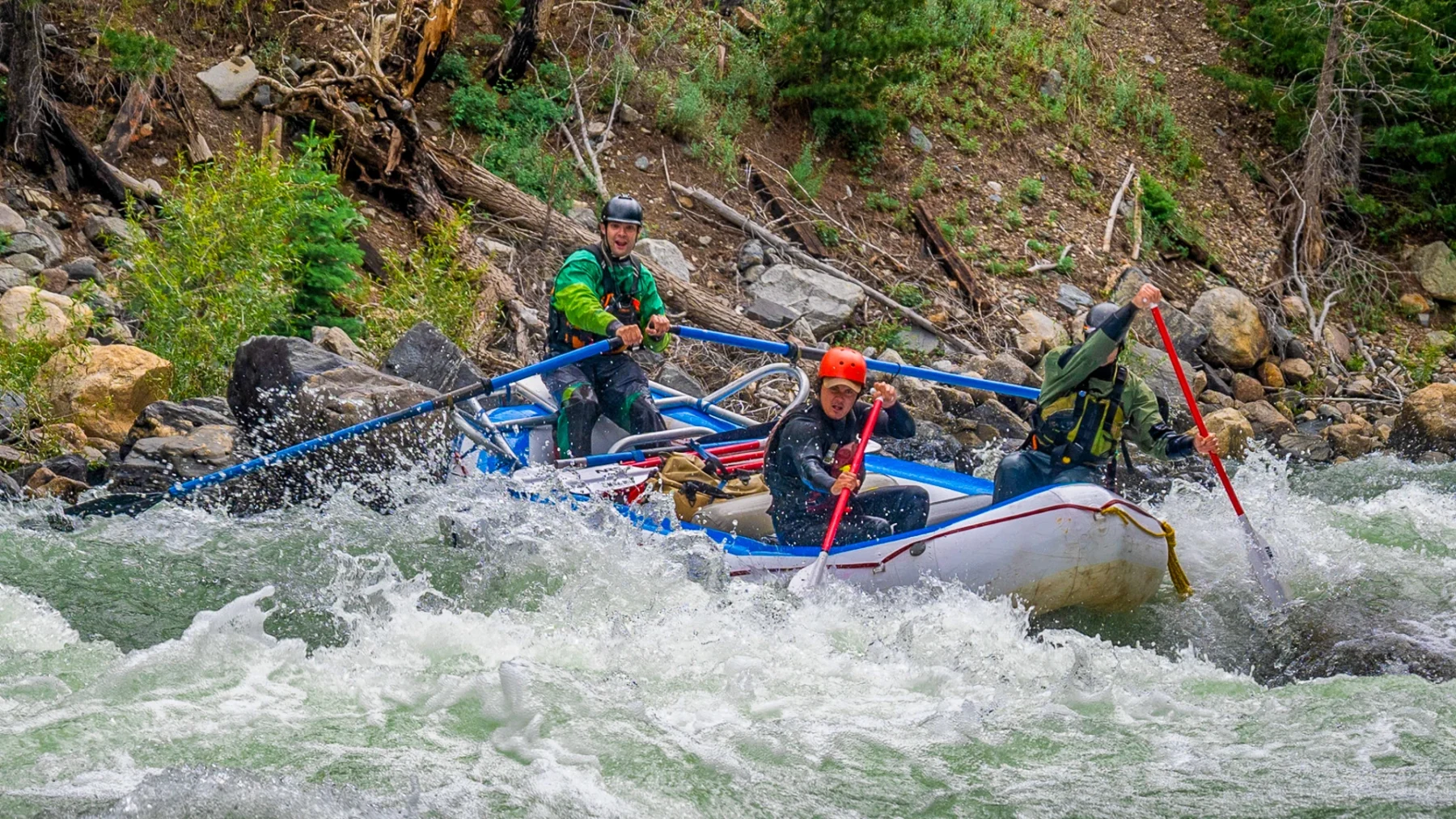
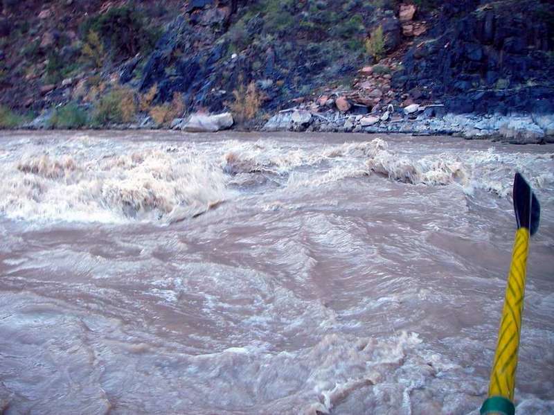
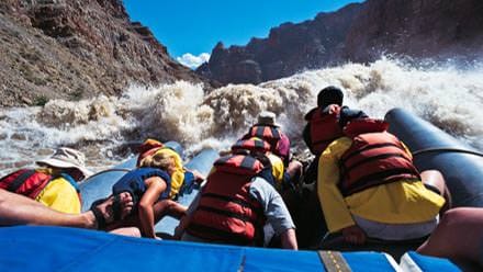
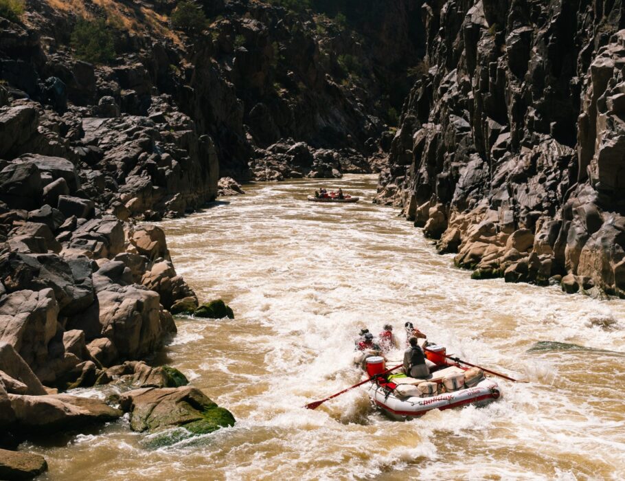
As you enter the main gorge the pace of the rapids begins to increase. The waves get bigger and its hard to see downriver in places but most of the rapids (Marble Canyon, Staircase, Big Hummer, Funnel Falls, and Surprise Rapid) are straightforward and consist mostly of big wave trains providing ample playboating opportunities. While this is not a great place to swim there are just enough rocks and ledges that experienced boaters can usually collect up boats and swimmers before everything disappears downstream. At _higher_ flows, rescues in the gorge become more challenging and, swims can be _very hazardous_.
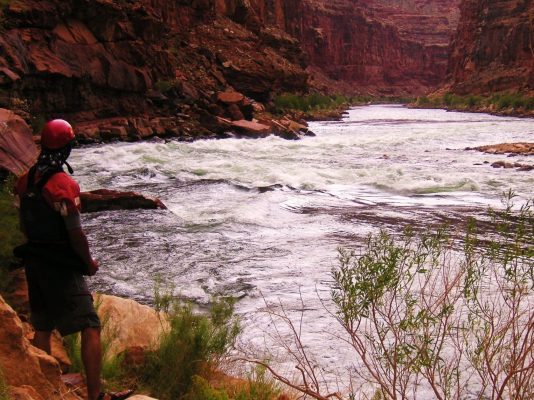
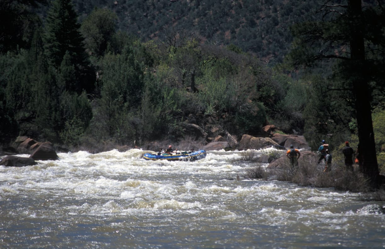
The anticipation of drifting into Skull keeps boaters on their toes. Skull is not a rapid to be taken lightly as it has been the site of some epic mishaps. While the intermediate flow levels move around Skull Hole is relatively straightforward, the consequences of a mistake here can be severe. Skull is recognizeable as a jumble of boulders extending down to water level on river left, a steep canyon wall on river right, and a distinct horizon line. The rapid can be scouted from the rockpile on river left. This is a dangerous scout and the read and run crowd will tell you to follow them and you will.
The key is to avoid Skull Hole at the foot of the rapid on the right, which is a definite raft flipper, and the Room of Doom below it on river right.
The Room of Doom is formed where a river right rock point protrudes into the main current. Most of the flow continues downstream to the left but a significant portion heads right into a rock alcove with a powerful recirculating current that can make a challenge for boats attempting to rejoin the main current. Breaking through the eddy fence at flows above 6000 cfs can becomes challenging for rafts (fun for kayakers). There have been several incidencts where groups have actually had to dismantle their raft and portage up over the cliff from the Room of Doom. This would be absolute hell on slippery black rock.
Below Skull the river bounces through more fun rapids and great playspots (Bowling Alley, Sock-it-to-Me and Last Chance). These rapids are similar in character to those near the beginning of the gorge although Sock-it-to-Me can sometimes provide a bit of carnage entertainment. By mile 11, the rapids come to an end and the river continues at a more leisurely pace.
The section at the end of the run provides a great opportunity for kayakers to board the rafts and raid the beer coolers. Those who want to continue on for another day at this leisurely pace can continue past the Cisco take-out and float the Cisco to Moab section that runs through Professor Valley.
Westwater Canyon is notorious for upstream winds in the afternoons. If you're bringing rafts, start early in the day, or do some core strength workouts before your trip!
#bigtendropsofthewest #skullrapid #skull #classiv #americanwhitewater #coloradoriver
### For additional information
BLM - Westwater Canyon information
Friends of Westwater Canyon
Nichols, Gary C. 1993. River Runners' Guide to Utah. University of Utah Press.
Belknap, Bill and Buzz. Canyonlands River Guide. Westwater Books.
Banks, Gordon, and Dave Eckardt. 1999. Colorado Rivers and Creeks, 2nd ed. www.kayakingcolorado.com
Martin, Tom and Whitis, Duwain. RiverMaps Guide to the Colorado & Green Rivers in the Canyonlands of Utah and Colorado, 2nd ed.
### Reaches of the Colorado River
01\. Hot Sulphur Springs to Hwy 40 bridge (Byers Canyon) (CO, IV)
02\. Gore Canyon (CO, IV-V)
03\. Pumphouse campground to Rancho Del Rio (Pumphouse) (CO, III)
04\. Hanging Lake Exit 125 (I-70) to Shoshone Power Plant Exit 123 (I-70) (Barrel Springs) (CO, IV-V \[V+\])
05\. Shoshone Power Plant, Exit 123 (I-70) to Grizzly Creek, Exit 121 (I-70) (Shoshone) (CO, III-IV)
06\. Cameo Dam (Big Sur / Lucky 7) (CO, III)
07\. Loma to Westwater (Ruby / Horsethief Canyons) (CO-UT, II)
08\. Westwater to Rose Ranch (Westwater Canyon) (UT, I-IV)
09\. Cisco (Rose Ranch) to Moab (Professor Valley) (UT, I-III)
10\. Moab to Powell Reservoir (Cataract Canyon) (UT, I-IV)
11\. Lees Ferry to Lake Mead (Grand Canyon) (AZ, I-V)
12\. Black Canyon (AZ-NV, I)
Rapids in this Run (22)
 Rapid
Rapid
Miners camp
 Rapid
II
Rapid
II
Wild Horse Rapids
 Rapid
Rapid
Folley's camp
 Rapid
Rapid
Upper Cougar Bar camp
 Rapid
Rapid
Lower Cougar Bar camp
 Rapid
Rapid
Little Hole camp
 Rapid
Rapid
Upper Little Dolores camp
 Rapid
II+
Rapid
II+
Little Dolores Rapids
 Rapid
Rapid
Lower Little Dolores camp
 Rapid
Rapid
Hades Bar camp
 Rapid
III
Rapid
III
Marble Canyon Rapids
 Rapid
III
Rapid
III
Staircase Rapids
 Rapid
III
Rapid
III
Big Hummer Rapids
 Rapid
III
Rapid
III
Funnel Falls
 Rapid
III
Rapid
III
Surprise Rapids
 Rapid
IV
Rapid
IV
Skull Rapid
 Rapid
III
Rapid
III
Bowling Alley
 Rapid
III
Rapid
III
Sock It To Me
 Rapid
III
Rapid
III
Last Chance Rapid
 Rapid
Rapid
Big Hole
 Rapid
Rapid
Big Horn camp
 Rapid
Rapid
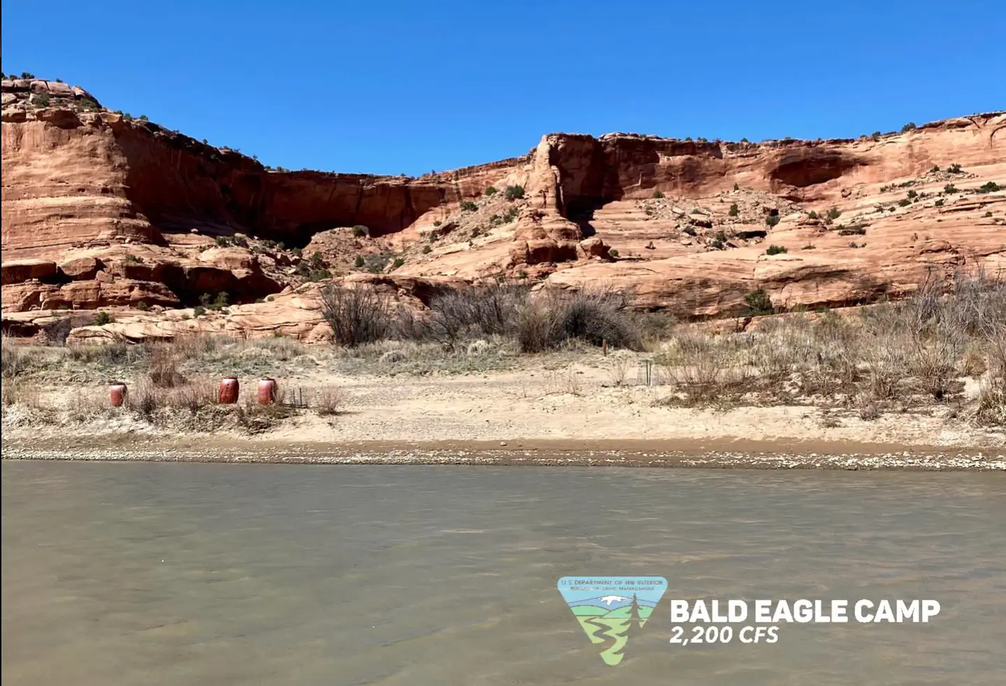
Bald Eagle camp
Difficulty
Class III-IV
Length
17.6 mi
Gradient
9 ft/mi
max 21
Rapids
22
Access Points
Difficulty Classes
I Easy
II Novice
III Intermediate
IV Advanced
V Expert/Extreme
VI Unrunnable
Permit Required
Permit required year-round. Permits are released on recreation.gov (click here for link) at 8 am MT two calendar months in advance; popular weekend days are booked within seconds.
Get Permit
Current Conditions
5-Day Forecast
Whitewater data from
American Whitewater
American Whitewater