2.) 1st Hydro Dam to Winooski River
Gauge Conditions
Runnable: 300.0 – 1,700.0 CFS
Data from American Whitewater & USGS
Run Map
Interactive run map
Loads as you approach this section.
Description
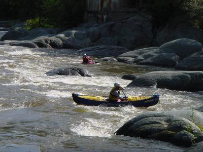
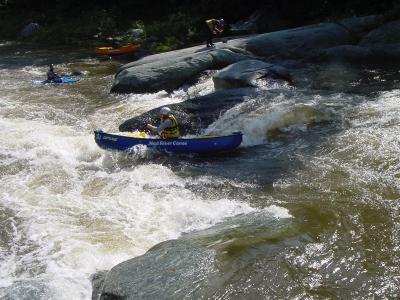
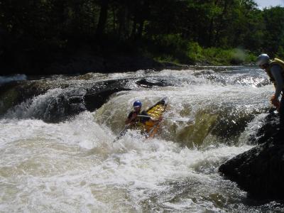
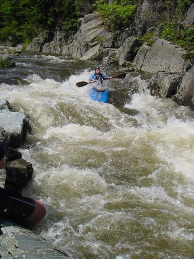
The most common class III run is the lower Mad. This is the last 2 miles, from the hydro dam to the confluence of the Winooski River. There is one possible portage at Horseshoe Falls. This is a class IV+ drop with a technical entrance and sticky recirculating hole at the bottom.
The run parallels Vermont Route 100B providing ample oppertunities to scout and access the river. Take out is 1/3 mile below the confluence of with the Winooski River on river left just downstream from Vermont Route 2. Please note the new take-out, parking area, and pull-through for trailers: It is just DOWNSTREAM of the Route 2 bridge on river left of the Winooski (just across the road from what it says above). You will still want to watch for poison ivy, though. Thank you Vermont River Conservancy for such great river access!
To find the put in travel south on Vermont Route 100B from Vermont Route 2 approximatel 1.5 miles. Just before the road crosses over the Mad River take a left on a dirt road. About a 1/4 mile park on the right then hike a short distance down to the river put in just below the dam.
Technical info
Put in elevation......485'
Take out elevation....426'
Difficulty
Class II-III+(IV)
Length
2.1 mi
Gradient
30 ft/mi
max 49
Rapids
6
Access Points
Difficulty Classes
I Easy
II Novice
III Intermediate
IV Advanced
V Expert/Extreme
VI Unrunnable
Current Conditions
5-Day Forecast
Whitewater data from
American Whitewater
American Whitewater