2) Bedrock Campground to Fall Creek Reservoir
Gauge Conditions
Runnable: 800.0 – 3,000.0 CFS
Data from American Whitewater & USGS
Run Map
Run Time Estimate
Select put-in and take-out to estimate time.
Plan This Trip
See wind-adjusted speed maps, forecast planning, and detailed time estimates.
Sign in to generate an AI timing estimate for this run.
Whitewater timing varies with scouting, portages, and group pace. Use as a planning baseline.
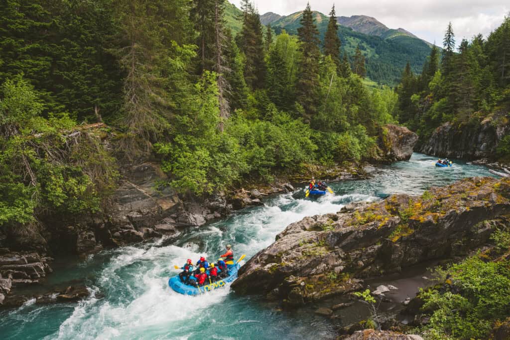
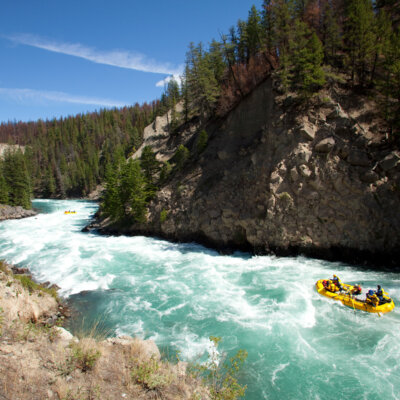
Description
This is above the Fall Creek Reservoir.
Each fall the USACE draws down the reservoir to aid out-migrating Pacific Lamprey amocetes November to December. The I-II stretch below the reservoir gets a bump, but it has no impact on the inflow upstream of the reservoir which this listing describes.
To determine the water in this run, you must look at the INFLOW to the Fall Creek Reservoir, available on the USACE website here: http://www.nwd-wc.usace.army.mil/dd/common/projects/www/fal.html
When it's raining, there is a correlation between the outflow below the reservoir and the inflow above it, so the linked gauge here can be useful. But it's not a 1:1 and the inflow to the lake should be checked to be sure before making the drive.
-Clinton 10/26/2018
Rapids in this Run (3)
Hazards & Portages (1)
Caution: The following locations may require scouting or portaging. Always check current conditions.
Difficulty
Class III-IV
Length
7.3 mi
Rapids
3
1 Portage
Access Points
Difficulty Classes
I Easy
II Novice
III Intermediate
IV Advanced
V Expert/Extreme
VI Unrunnable
Current Conditions
5-Day Forecast
Whitewater data from
American Whitewater
American Whitewater