2. Bruceton Mills to Rockville
Gauge Conditions
Runnable: 5.5 – 7.5 FT
Data from American Whitewater & USGS
Run Map
Description
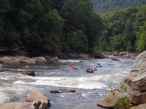
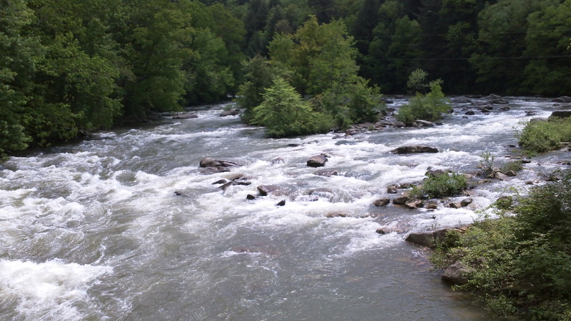
This is an easier alternative to the Lower Big Sandy. It can be combined with the Lower Big Sandy for those who'd like a longer day, or for groups that have some people who'd like to taste some of the ledgy Big Sandy action without taking on the Big Stuff that the Lower Big Sandy is famous for. A similar run is the Little Sandy.
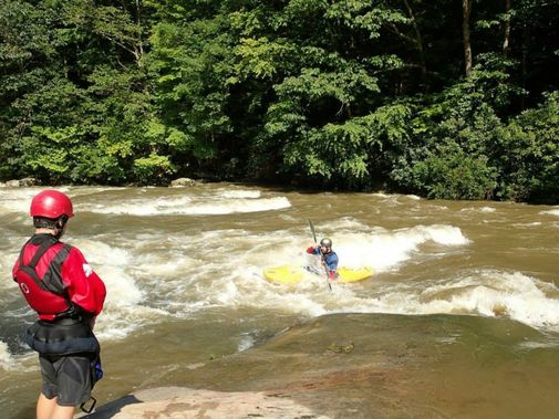
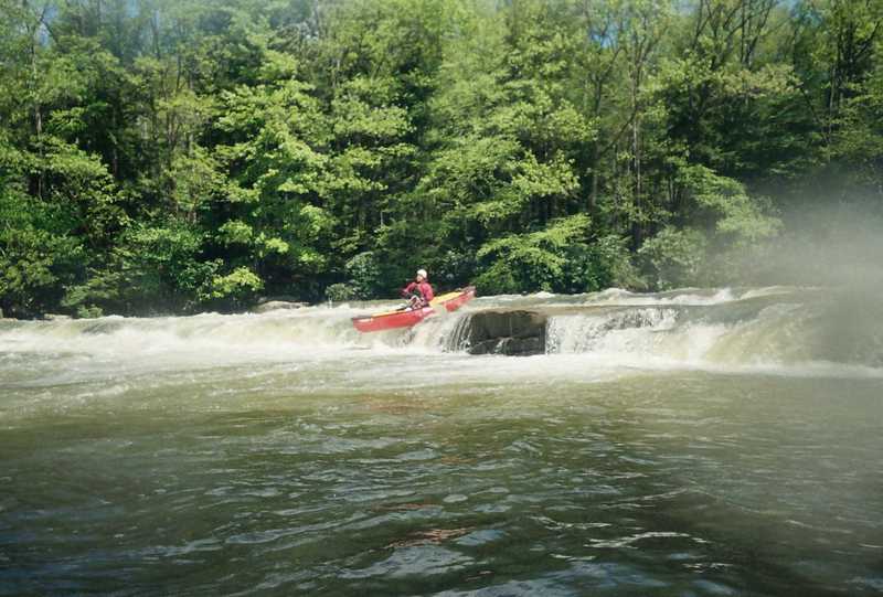
The character of the run is similar to the Little Sandy: lots of ledges, some of which are blind or semi-blind. It gets more difficult toward the end, with a blind rapid which many paddlers scout. The last rapid before the Rockville bridge is most difficult, giving a taste of what the Lower Big Sandy is about.
Directions: The putin is easy to find; just take the Route 26 exit off of I-68. You can park in the large Little Sandy's parking lot and put in at the back of the parking lot.
To the Rockville takeout: Head south from Bruceton Mills (I-68) or north from Albright on WV 26 to Valley Point (just about 6 miles from either direction). Look for the turn-off to Hudson Road (WV 15), take it west for 4.8 miles, and turn right down towards the river. Continue another couple miles (bear left at the next fork) to the bridge across the river. This access ends with a mile of rutty, muddy road to the Rockville Bridge and parking is limited on busy weekends. Those who don't have good 4WD often carry or drag their boats down to the bridge.
See the Lower Big Sandy for directions to the Jenkinsburg takeout, if you're up for the beeeg rapids.
Difficulty
Class III-IV
Length
5.6 mi
Gradient
29 ft/mi
max 50
Rapids
4
Access Points
Difficulty Classes
I Easy
II Novice
III Intermediate
IV Advanced
V Expert/Extreme
VI Unrunnable
Current Conditions
5-Day Forecast
Whitewater data from
American Whitewater
American Whitewater