2. (Canyon) Albright to Jenkinsburg Bridge
Gauge Conditions
Runnable: 11.0 – 15.0 FT
Corresponds roughly to 2.25-3.25' at the Bridge.
Data from American Whitewater & USGS
Run Map
Run Time Estimate
Select put-in and take-out to estimate time.
Plan This Trip
See wind-adjusted speed maps, forecast planning, and detailed time estimates.
Sign in to generate an AI timing estimate for this run.
Whitewater timing varies with scouting, portages, and group pace. Use as a planning baseline.
Description
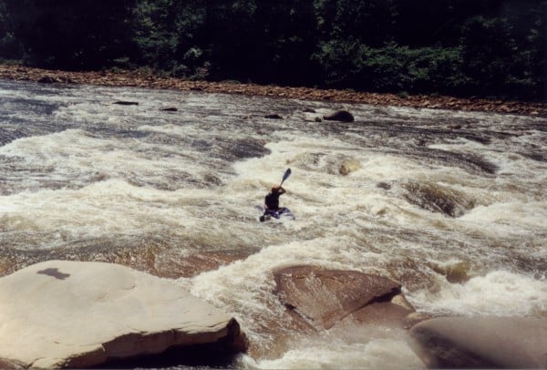
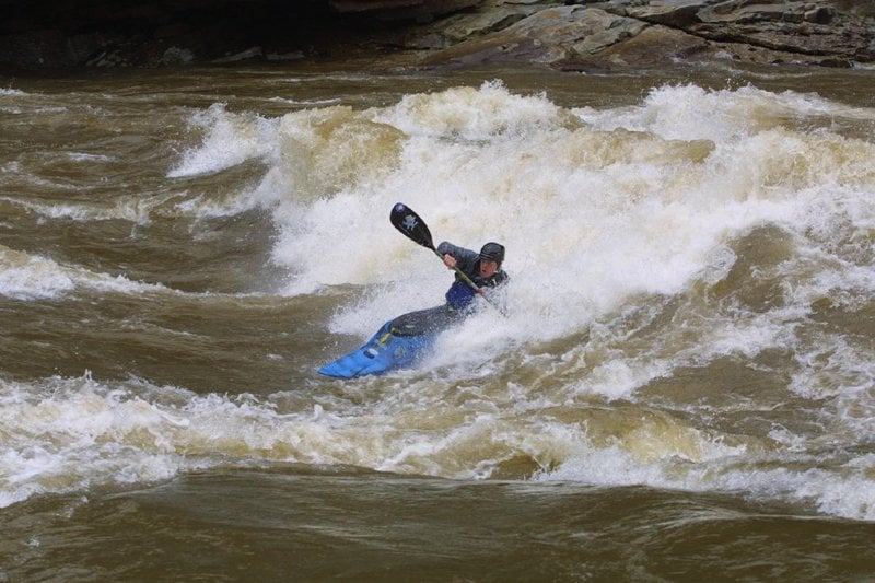
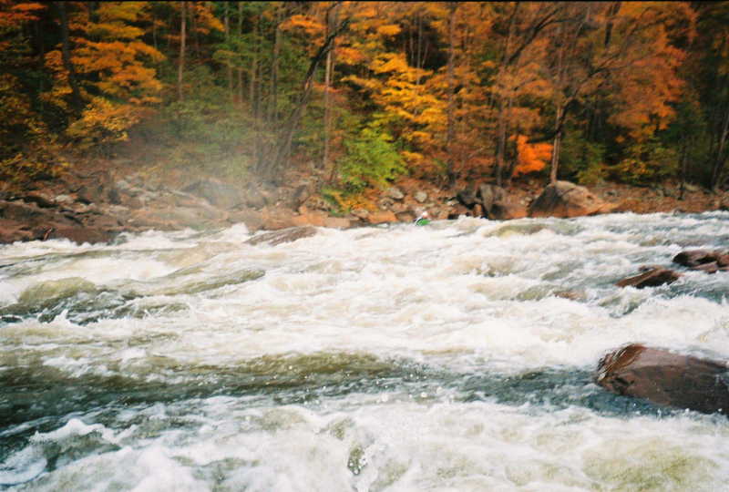
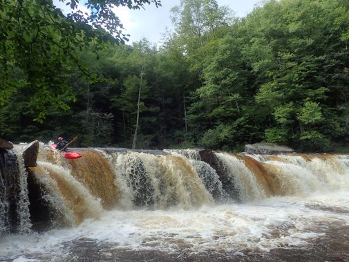
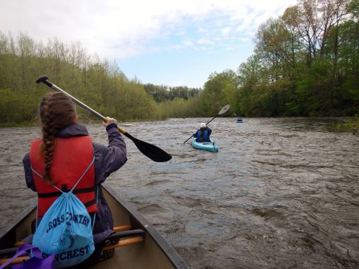
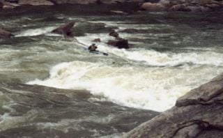
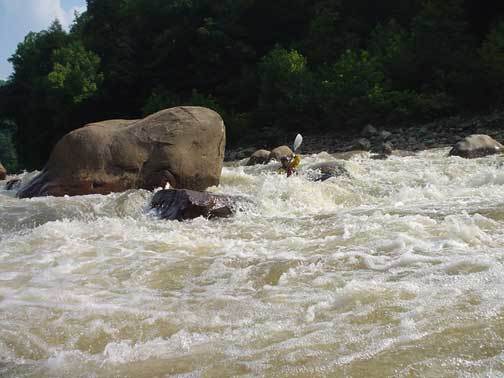
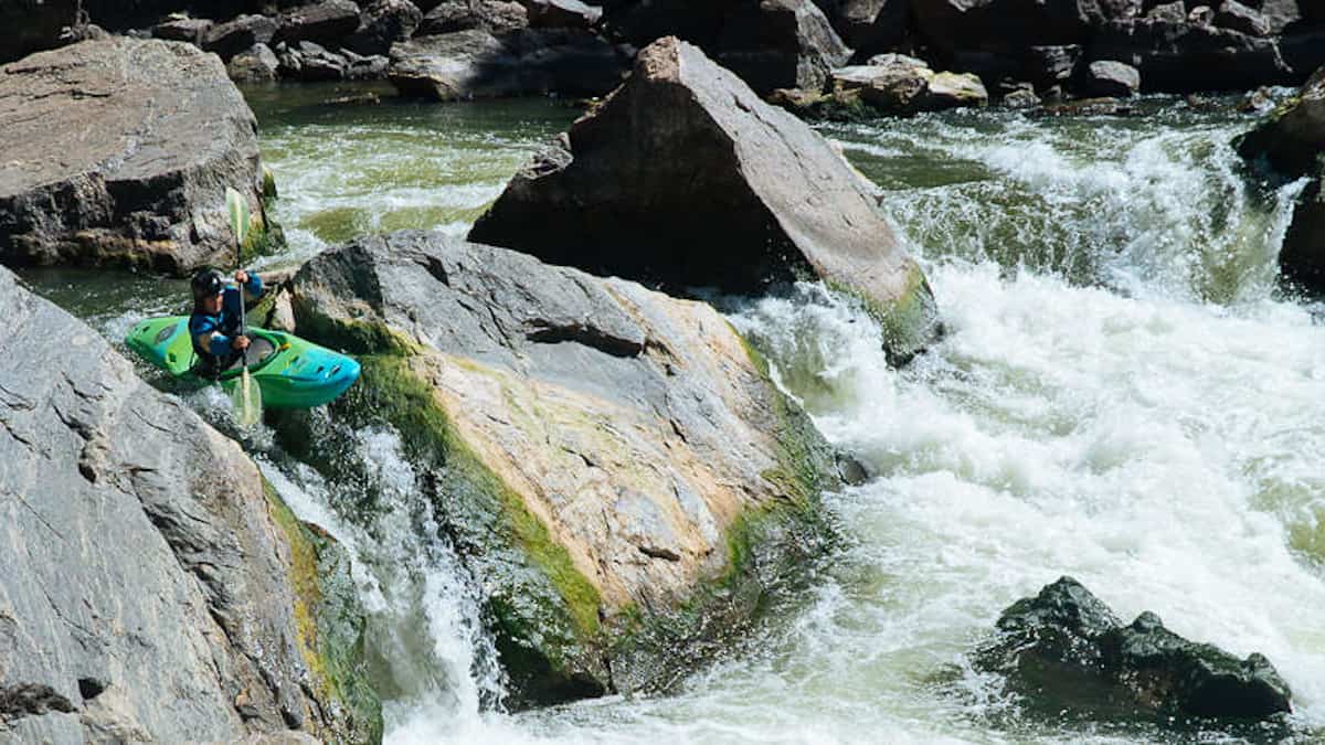
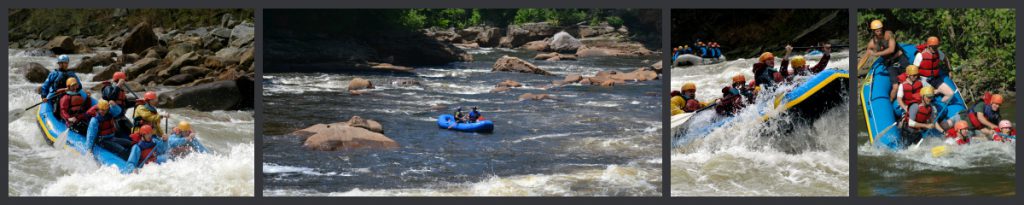
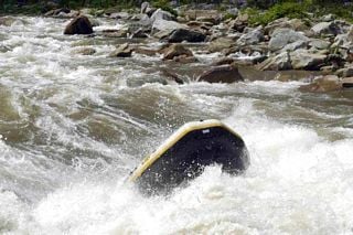
The Cheat is a local favorite, with 10 miles of wilderness paddling, impressive rock formations, and more than a handful of III-IV rapids with great play at many levels.
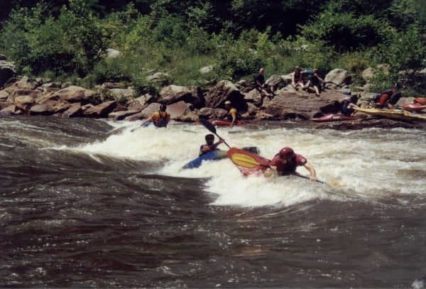
Every year, on the Friday of Cheat Fest (the first weekend in May), this river is host to the ' Cheat River Mass-Occurrence,' a truly legendary race. With a mass start of as many as 150 paddlers, this race begins with chaos and ends with a phenomenal party.
_Charlie Walbridge adds:_
Mountain Streams and Trails, the new owner of the Jenkinsburg Access, asks that private paddlers running the Cheat and Big Sandy use the Upper Parking Lot during Cheat Fest Weekend. The Lower Parking Lot should be kept clear for outfitter trucks and buses. Vehicles parked there make maneuvering these big rigs difficult or impossible. So please park where you're supposed to and give a big THANK YOU to any MS&T employees you see on--or off--the river.
Map of Area
Keel Hauler Rating - 26
Lat/Longitude coords verified by GPS.
Rapids in this Run (12)

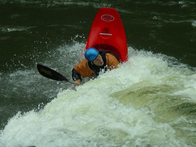
Playspots (1)
Difficulty
Class III-IV
Length
11.0 mi
Gradient
25 ft/mi
max 40
Rapids
12
Access Points
Shuttle Info
Put-in - 1 mi north of Albright. From Interstate 68, head South on Route 26. After about ten miles, take a sharp Right into Teter's Campground. Drive through Teter's campground to land owned by [Friends of the Cheat](http://www.cheat.org). This is an AW paddlers' easement. Or you can put in at the bridge at Albright.
Take-out - Jenkinsburg Bridge, at the confluence of the Cheat and Big Sandy. Look for the turn-off to Hudson Road (WV 15), about 6 miles South of I-68; take it west for about 7 miles to Jenkinsburg.
_Charlie Walbridge adds:_
Mountain Streams and Trails, the new owner of the Jenkinsburg Access, asks that private paddlers running the Cheat and Big Sandy use the Upper Parking Lot during Cheat Fest Weekend. The Lower Parking Lot should be kept clear for outfitter trucks and buses. Vehicles parked there make maneuvering these big rigs difficult or impossible. So please park where you're supposed to and give a big THANK YOU to any MS&T employees you see on--or off--the river.
Difficulty Classes
I Easy
II Novice
III Intermediate
IV Advanced
V Expert/Extreme
VI Unrunnable
Current Conditions
5-Day Forecast
Whitewater data from
American Whitewater
American Whitewater