2. Cherry Lake to Holm Powerhouse
Gauge Conditions
Runnable: 300.0 – 600.0 CFS
Runnable: 300.0 – 600.0 CFS
Runnable: 250.0 – 600.0 CFS
Data from American Whitewater & USGS
Run Map
Run Time Estimate
Select put-in and take-out to estimate time.
Plan This Trip
See wind-adjusted speed maps, forecast planning, and detailed time estimates.
Sign in to generate an AI timing estimate for this run.
Whitewater timing varies with scouting, portages, and group pace. Use as a planning baseline.
Description
Put in: Take dirt access roads down to the river below Cherry Valley Dam. Elevation is about 4390 feet above sea level. If releases are coming from Eleanor Reservoir, boaters can try launching into Eleanor Creek, though it is reported to be a portage fest. An alternative is to hike in to the confluence of Cherry Creek and Eleanor Creek. There is no trail. Some groups have found relatively easy travel, while others have struggled and suffered.
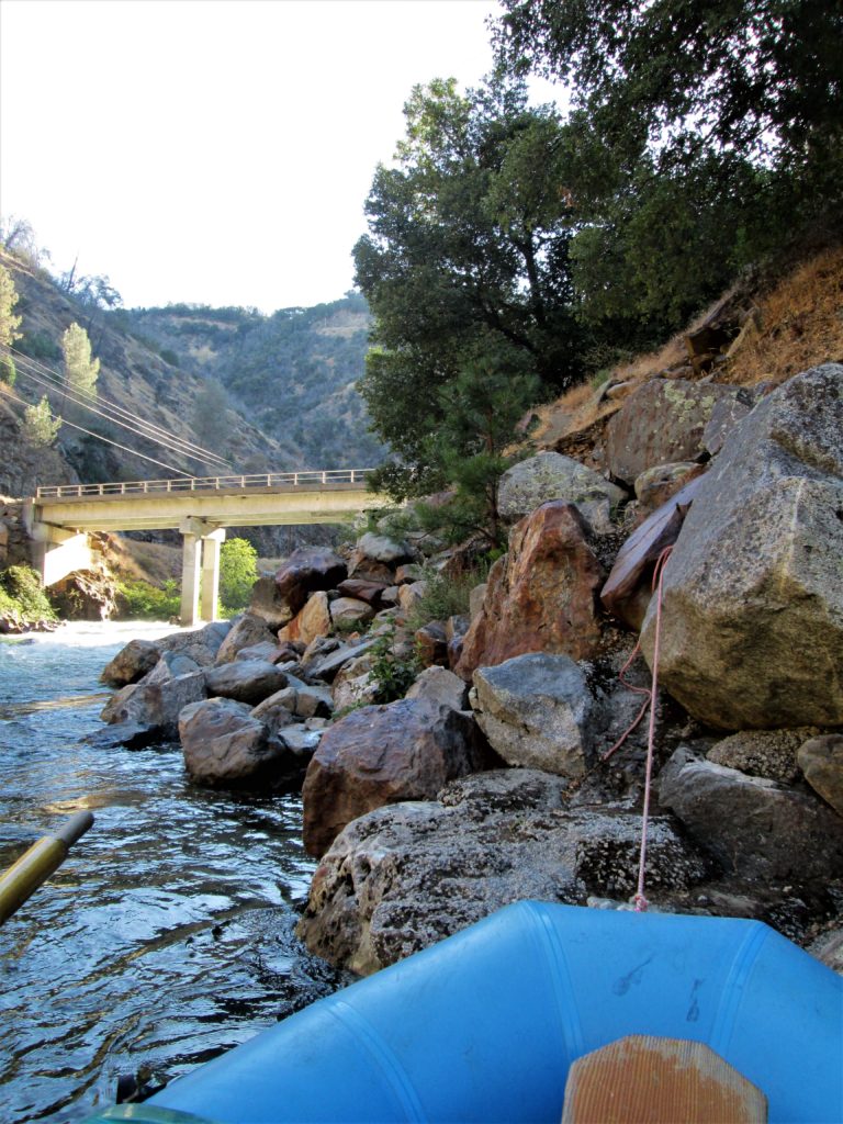
Take out: There is a large parking area on river left, just downstream of the powerhouse. Elevation is 2230 feet above sea level. There is also a bridge across the creek about 3/4 of a mile upstream of the powerhouse.
Rapids in this Run (1)
Difficulty
Class V
Length
10.7 mi
Gradient
216 ft/mi
Rapids
1
Access Points
Difficulty Classes
I Easy
II Novice
III Intermediate
IV Advanced
V Expert/Extreme
VI Unrunnable
Current Conditions
5-Day Forecast
Whitewater data from
American Whitewater
American Whitewater