2. Collinsville to Unionville Recreational
Gauge Conditions
Runnable: 6.0 – 9.0 FT
Data from American Whitewater & USGS
Run Map
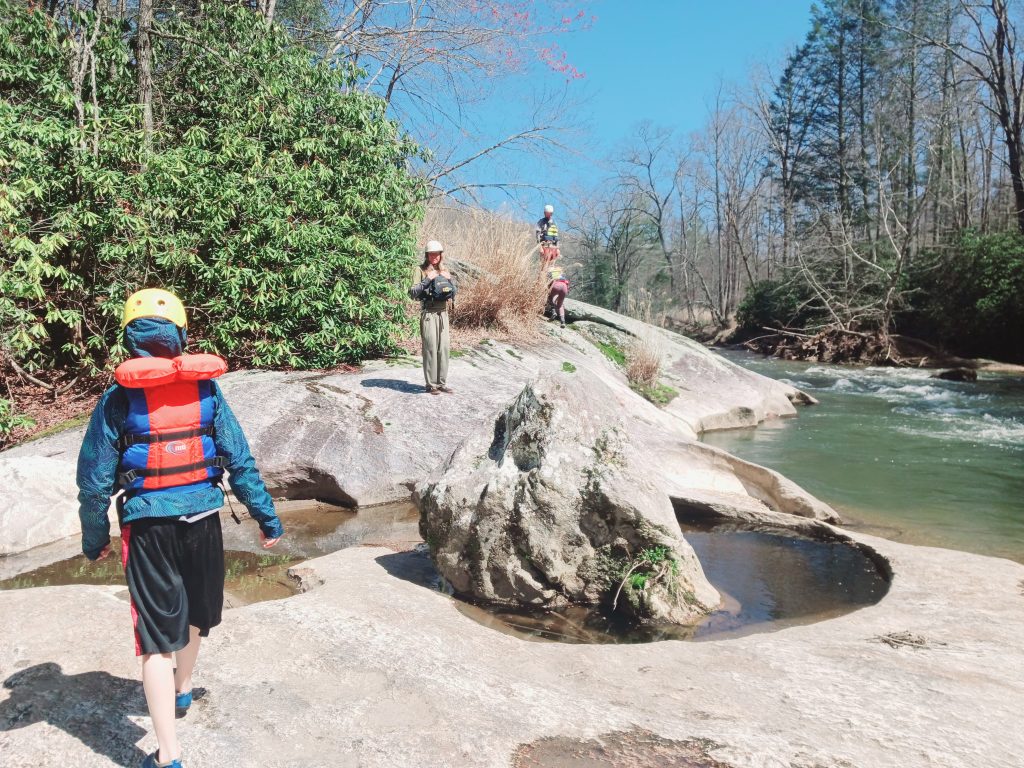
Put-in
Take-out
Rapids/Hazards
Recreational
Run Time Estimate
Select put-in and take-out to estimate time.
Plan This Trip
See wind-adjusted speed maps, forecast planning, and detailed time estimates.
Sign in to generate an AI timing estimate for this run.
Whitewater timing varies with scouting, portages, and group pace. Use as a planning baseline.
Description
Directions and description generously provided by Jim Veltrop:
Put-in: From the bridge over the Farmington River in Collinsville, proceed south on Route 179 just over 1 mile to a long paved parking lot along the left/east side of the road. Cross the bike path to a convenient put-in. (If coming from Unionville, take Route 4 west until Rte 179 veers right, to the north. The parking lot is 0.7 miles from the Route 4/179 junction, along the right/east side of the road.)
Take-out: From the put-in, proceed south on Route 179 until the junction with Route 4 and continue just over 2 miles after the Route 4/179 junction until River Road, which is the last right before crossing the Route 4 Farmington River bridge and is next to a miniature golf course. Take a right on to River Road and continue 0.3 miles to a section of the road with room for parking on the dirt shoulders of both sides of the road.
Alternative Take-out: River Glen Little League Complex Wannowmassa Lane Farmington, CT. If you continue paddling past the Rt 4 bridge takeout you'll be in for about 1.75 miles of mostly flat water, but are rewarded with two more rapids. The first section is the Apricots ledges, the second is Boateater.
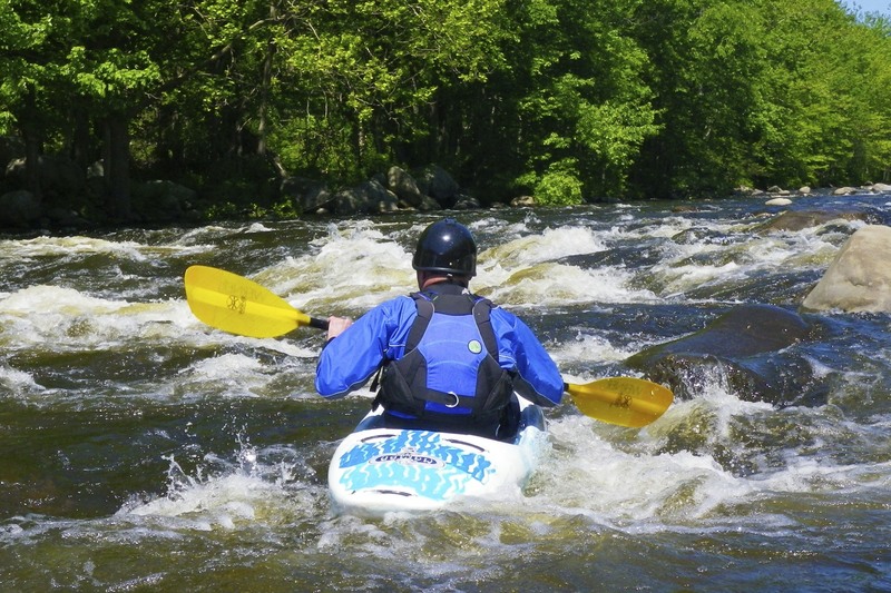
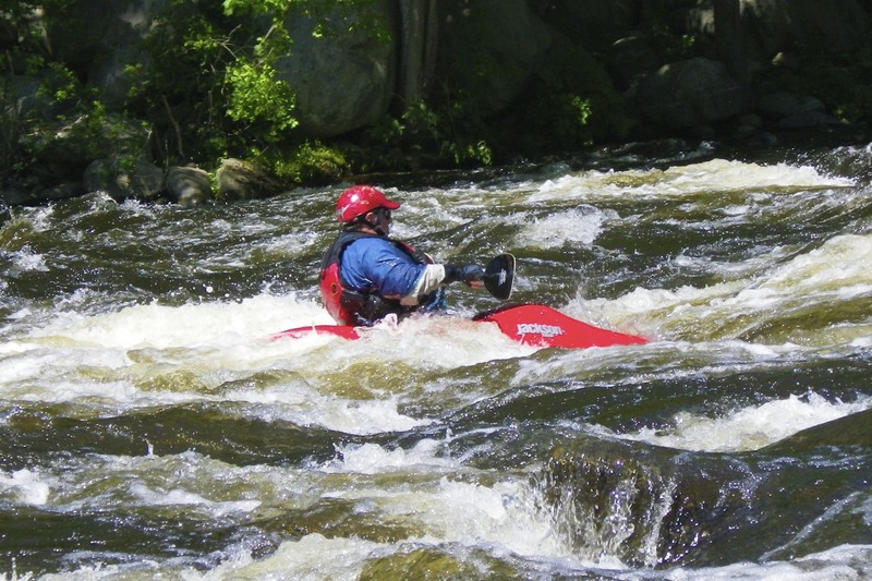
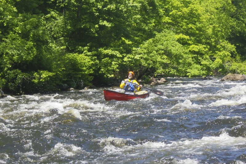
Description: A worthwhile run at the right levels, with ample boulder gardens, a handful of rapids with interesting features and scenery that is surprisingly good considering the amount of surrounding development. Collinsville Canoe and Kayak uses the upper section of the run for its kayak lessons. This section is also the site of the annual Boateater Challenge.
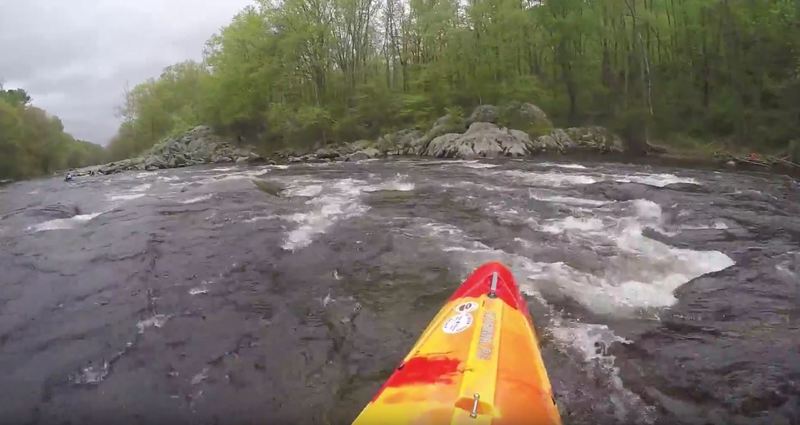
After the put-in, proceed to the right of an island and encounter minor rapids before a long pool. The entrance of Burlington Brook from the right and power lines overhead signal the beginning of Crystal Rapids (also sometimes called Punch Brook), which is the site of an annual spring slalom race. The river then settles into a series of boulder gardens and pools, with an occasional play opportunity at higher levels for open-minded boaters.
At 2.5 miles, an old stone wall on the left, with a rapid alongside, marks the beginning of the more interesting section of the river. Following a pool and more boulders, the river takes a sharp left at a prominent rock outcropping called Bernackie Rapid.
After these rapids, and just above the Rt. 4 Bridge, is another impressive collection of boulders with many possible routes available. The boulders end abruptly at a ledge running most of the width of the river, which should be run on river right. Immediately after this ledge is the Route 4 bridge (and the miniature golf course on the right). The first takeout is 0.3 miles after the bridge on the right.
Past the first takeout will be about 1.5 miles of mostly flat water with some class I. Around mile 1.75 is the Apricots ledges. Shortly after the ledges is Boateater rapid. The actual "boateater rock" was swept downstream several years ago, but the rapid remains fun and probably worth the mile and a half float to get there. Takeout is river-left about a quarter mile past boateater, just beyoind a large boulder in the center of the river.
Check out the river description at the Farmington River Watershed Association website.
Difficulty
Class II
Length
2.4 mi
Rapids
6
Access Points
Difficulty Classes
I Easy
II Novice
III Intermediate
IV Advanced
V Expert/Extreme
VI Unrunnable
Current Conditions
5-Day Forecast
Whitewater data from
American Whitewater
American Whitewater