2. Comfort to Farm Road 3351
Gauge Conditions
Runnable: 400.0 – 10,000.0 CFS
Upper limit for best boatability uncertain. Please help your fellow boaters with a comment or report.
Data from American Whitewater & USGS
Run Map
Run Time Estimate
Select put-in and take-out to estimate time.
Plan This Trip
See wind-adjusted speed maps, forecast planning, and detailed time estimates.
Sign in to generate an AI timing estimate for this run.
Whitewater timing varies with scouting, portages, and group pace. Use as a planning baseline.
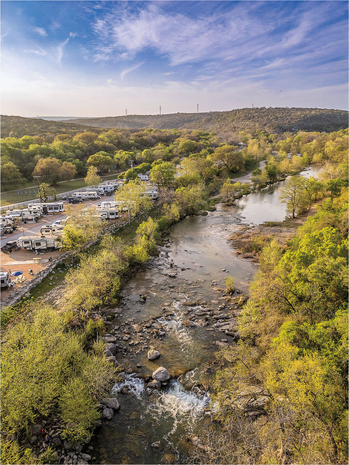
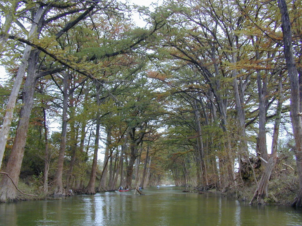
Description
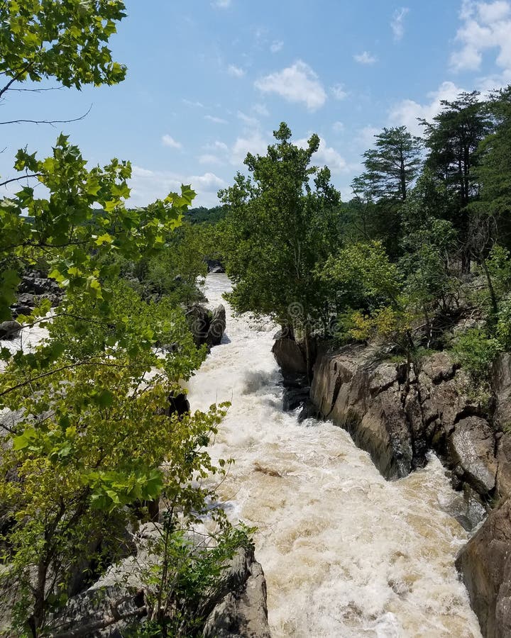
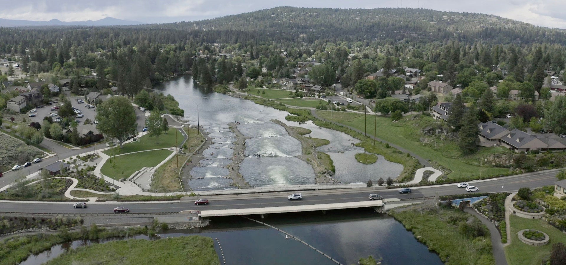
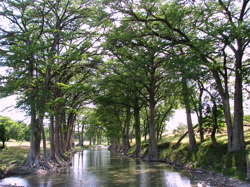
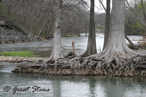
Scenic stretch of the Upper Guadalupe, infrequently run due to its length, remoteness, and the scarcity of rapids. Texas Whitewater mentions "numerous small rapids" on this stretch but provides no specific beta. Satellite scouting shows a lot of flat water. There are no campgrounds or other facilities along the run, making logistics for a multi-day trip difficult at best.
Distances and gradient measured using GIS tools in 2015. Difficulty rating and range of recommended flows are a guess.
Rapids in this Run (3)
Hazards & Portages (5)
Caution: The following locations may require scouting or portaging. Always check current conditions.
Difficulty
Class I-II
Length
45.1 mi
Gradient
7 ft/mi
Rapids
3
5 Hazards
Access Points
Difficulty Classes
I Easy
II Novice
III Intermediate
IV Advanced
V Expert/Extreme
VI Unrunnable
Current Conditions
5-Day Forecast
Whitewater data from
American Whitewater
American Whitewater