2. Concrete CCC Bridge to Kirkham Bridge
Gauge Conditions
Runnable: 500.0 – 4,000.0 CFS
Data from American Whitewater & USGS
Run Map
Run Time Estimate
Select put-in and take-out to estimate time.
Plan This Trip
See wind-adjusted speed maps, forecast planning, and detailed time estimates.
Sign in to generate an AI timing estimate for this run.
Whitewater timing varies with scouting, portages, and group pace. Use as a planning baseline.
Description
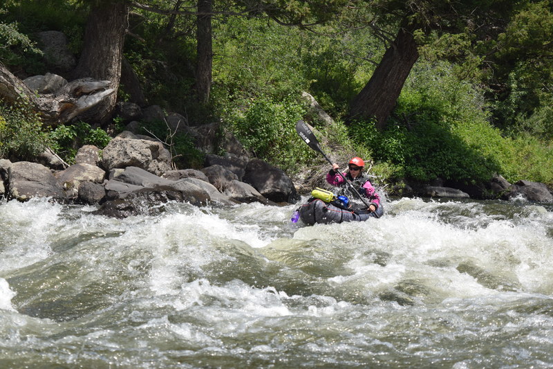
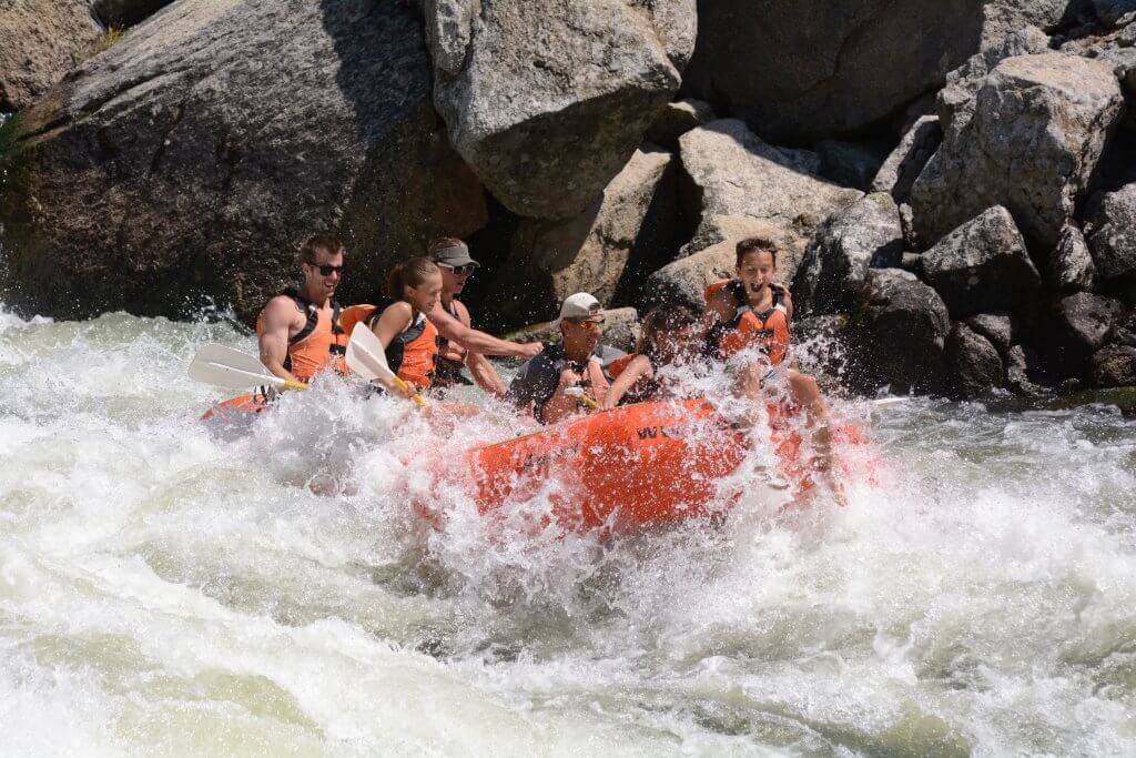
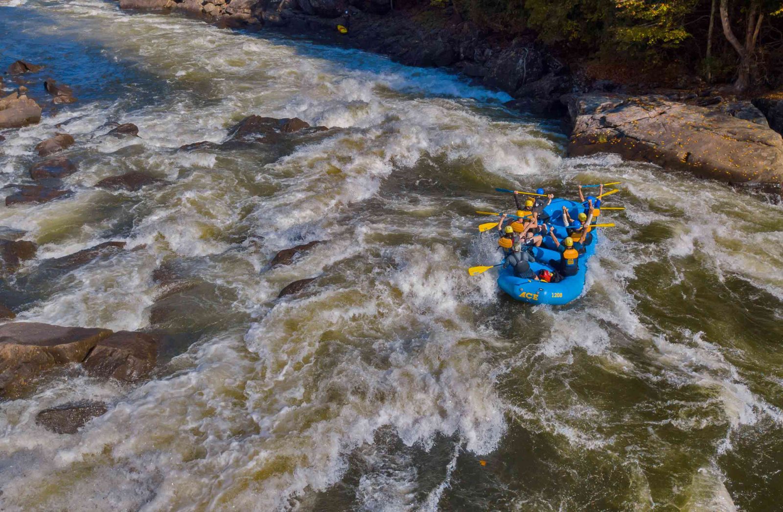
At moderate flows the Fall River is a fun run and an excellent river to build your skills on. Smooth boulders create countless nice eddies, small boofs, and surf holes, allowing paddlers to challenge themselves with Class IV moves in relatively low risk Class II and III rapids.
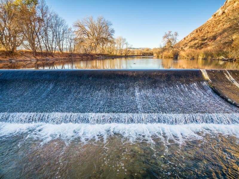
The run is mostly long, large, class 3+ wave trains at higher flows, and technical Class III boulder rapids at medium and lower flows. The longest rapid, half-mile, has a hole hidden at the end (look for a large basalt cliff on your right and a slight river left bend). There is a diversion dam that you may portage about 2/3 way down river, or you can run it just look for wood and if the river is too high it can recirculate. You can see the last major drop by a rock that sticks up right in the middle of the river, also a surprise at the bottom of a wave train. Run left (preferred) or right to avoid pourovers.
Each spring flushing flows between the upper diversion dam and the powerhouse are required by the hydropower license to maintain 1,450 cfs for the last three weeks in May or the first three weeks in June. This is in place to ensure the removal of accumulated sediments in the Fall River riverbed downstream of the diversion structure. There is also a requirement each year during the July 4 weekend to provide a minimum flow of 650 cfs in the Fall River downstream of the diversion structure during daytime hours for recreation purposes.
See also G. Amaral, *Idaho: the Whitewater State* (Watershed, 1992).
Lat/Longitude data are *very* approximate.
> Directions: To the takeout: drive 4.5 miles east on Hwy 47 from Ashton ID. Turn right (south) and drive 1.5 miles to Kirkham bridge over Falls River. This is the take-out for kayaks only. If you are in a raft go to 3800 East. Take out on the left side of the river above the bridge and drag your boat up the rocks with some friends. yes its not ideal for rafts but it way easier than taking at kirkham bridge or the power plant. You can also take out right above the kirkham bridge at the fall river hydroelectric plant in kayaks. There are stairs down to the river on the right side before the plant that you are allowed to walk up on to your car. This is much better that the kirkham bridge exist a few hundred yards downstream and way safer. There is a great parking lot above the palnt that has signs telling you where to park.
>
> To reach the putin, drive east on 'Reclamation Road' past Squirrel Cemetary (nice of them to build a cemetary for all those cute little squirrels that got run over!) 5.4 miles. Turn left (north) and drive a mile to the putin (bridge over Fall River and gauge). This road is 4525 East. The put in is obvious. However, if the gate is up you can open it and put your boat on but please close it as it is private property. The put is on the upstream side of the bridge on river left.
Rapids in this Run (5)
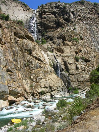
Waterfalls (1)
Hazards & Portages (1)
Caution: The following locations may require scouting or portaging. Always check current conditions.
Difficulty
Class III-IV
Length
8.5 mi
Rapids
5
1 Hazard
Access Points
Difficulty Classes
I Easy
II Novice
III Intermediate
IV Advanced
V Expert/Extreme
VI Unrunnable
Current Conditions
5-Day Forecast
Whitewater data from
American Whitewater
American Whitewater