2. CR 122 (Red Bud Ln) to FM 685 (3.3 miles)
Gauge Conditions
Runnable: 300.0 – 2,000.0 CFS
Actual range of best boatability uncertain. Please help your fellow boaters by submitting a comment or report.
Data from American Whitewater & USGS
Run Map
Run Time Estimate
Select put-in and take-out to estimate time.
Plan This Trip
See wind-adjusted speed maps, forecast planning, and detailed time estimates.
Sign in to generate an AI timing estimate for this run.
Whitewater timing varies with scouting, portages, and group pace. Use as a planning baseline.
Description
Another play run below Round Rock, which can be combined with the stretch from Veterans Park Dam to CR 122 for a total of 8 miles. Texas Whitewater describes some "small ledge drops" and "nice waves." More specific beta needed.
Distances and gradient measured using GIS tools in 2015.
Cautions:
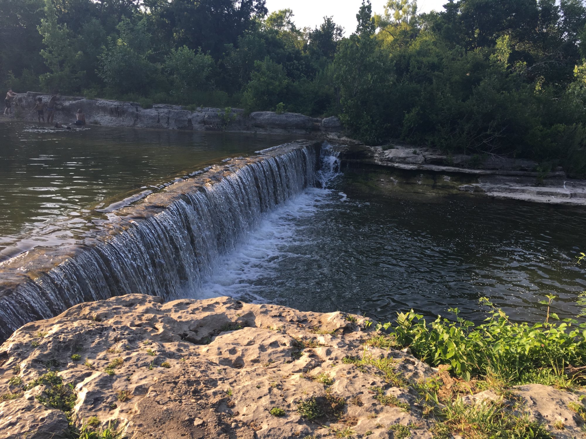
The ledge below CR 122 and Dave's Rock below 685 change character with very little change in water level. 6 inches is a big change for these features, and they need to be scouted before playing. Both features are great play spots at various levels but can also change quickly.
Rapids in this Run (2)
Hazards & Portages (1)
Caution: The following locations may require scouting or portaging. Always check current conditions.
Difficulty
Class II-III
Length
3.3 mi
Gradient
9 ft/mi
Rapids
2
1 Hazard
Access Points
Shuttle Info
Putin directions: Take I35 North from Austin to Highway 79 Taylor Hutto exit. Take a right, go about 4 miles and take a right on CR 122. The bridge put in is right there.
Difficulty Classes
I Easy
II Novice
III Intermediate
IV Advanced
V Expert/Extreme
VI Unrunnable
Current Conditions
5-Day Forecast
Whitewater data from
American Whitewater
American Whitewater