2. D4149 North Branch Bridge to confluence with the Dry Fork
Gauge Conditions
Runnable: 300.0 – 2,000.0 CFS
Data from American Whitewater & USGS
Run Map
Run Time Estimate
Select put-in and take-out to estimate time.
Plan This Trip
See wind-adjusted speed maps, forecast planning, and detailed time estimates.
Sign in to generate an AI timing estimate for this run.
Whitewater timing varies with scouting, portages, and group pace. Use as a planning baseline.
Description
Sections of this run have been channelized.
If not continuing down the Dry Fork paddlers may take out at the old bridge location about 1/4 upstream from the confluence of the Dry Fork or at the WV 32 bridge another 3/4 mile upstream.
Lat/longitude coords are approximate, from TopoZone.
Rapids in this Run (1)
Difficulty
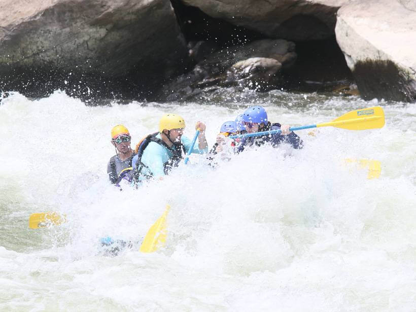
Class III-IV
Length
7.0 mi
Gradient
75 ft/mi
Rapids
1
Access Points
Difficulty Classes
I Easy
II Novice
III Intermediate
IV Advanced
V Expert/Extreme
VI Unrunnable
Current Conditions
5-Day Forecast
Whitewater data from
American Whitewater
American Whitewater