2. Donnattsburgh Road to Old Pine Grove Road
Gauge Conditions
Runnable: 350.0 – 2,500.0 CFS
Data from American Whitewater & USGS
Run Map
Run Time Estimate
Select put-in and take-out to estimate time.
Plan This Trip
See wind-adjusted speed maps, forecast planning, and detailed time estimates.
Sign in to generate an AI timing estimate for this run.
Whitewater timing varies with scouting, portages, and group pace. Use as a planning baseline.
Description
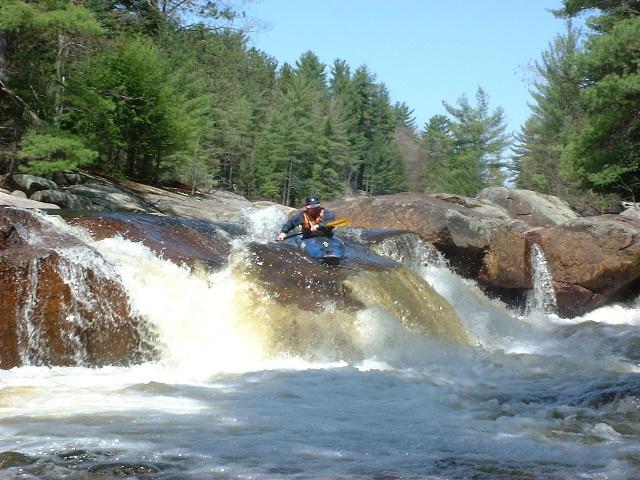
Depending on the level this creek can be a great training ground for paddlers learning to creek, a beautiful and fun run, or a challenge for advanced boaters. Run either as park and huck, or as a full river run with a creeky finish, this is a classic!
Starting at the Donnattsburgh Road bridge the creek is a straightforward river run at lower water and at high water a rocket ride boofing over holes and rocks. Once past the powerlines the river becomes less continuous and the first drop appears. Scout on the left, or boat scout running down the left channel.
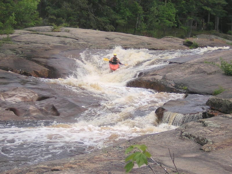
After the first drop is the Fat Lady. Starting in a pool above an old dam the currrent is devided by a massive rock named Mega Dome. Stay left unless you have scouted for wood in the right channel. The main line is left at the dome, then right at the split to stay in the center channel. To the far left is a channel which goes into a hard corner with a jutting rock known as Elbow Breaker. Despite the name this channel can be run safely at almost any level. The river converges again for a boof just above the Rudd Road bridge. Eddy out below the bridge and scout The Wall.
The Wall starts with a channelized entrance into a left to right move to avoid getting body slammed on granite. From the eddy on the right work your way down through the next ledge to river center. The last boof is formed by two large rocks in river center. At lower water it is easy to fall between the two rocks. Be aware of the pin hazard and plan your line so you are clear. Either cross the devide high and boof right, or stay left.
Take out at the next bridge on river left. This is Pine Grove Road.
Want a run that you can take beginners on but still have some fun? Run from Donnattsburgh Road to Rudd Road and let beginners walk the slide or run their boats down for them.
The Independence River was named to honor the national holiday by surveyor/engineer Pierre Pharoux in the 1790's. In those days, the French called the Salmon "La Famine."
If the Indy's rocking (800+ cfs and rising, or 1000+ cfs), it can be great fun to combine it with a run down its trib, Otter Creek, just a mile South on Pine Grove Road. Run Otter first, as it'll drop more quickly.
Tug Hill - Old Forge Area Reaches
Beaver (1. Moshier)Beaver (2. Eagle) Beaver (3. Taylorville)
Black (1.) Black (2.) Black (3.)
Black (4.) Black (5.) Black, S. Branch
Cincinnati Creek Crystal Creek Deer River (Section 1)
Deer River (Section 2) Fish Creek, E. Branch Independence River (1. Upper)
Independence River (2. Main) Indian (S.Br. Moose trib.) Little Black Creek
Little Woodhull CreekMad River Mill Creek
Mohawk (1.) Moose (1. Middle) Moose (2. Lower)
Moose (3. Bottom)Moose, Middle Branch Moose, S. Branch (1.)
Moose, S. Branch (2.) Negro Brook Otter Creek
Roaring Brook (Brokeback Gorge) West Canada Creek (1.) West Canada Creek (2. Ohio Gorge)
West Canada Creek, S. BranchWoodhull Creek (Upper) Woodhull Creek (Middle)
Woodhull Creek (Miracle Mile)
Google Map of New York Whitewater
New York Whitewater Paddlers Facebook Group
Rapids in this Run (4)
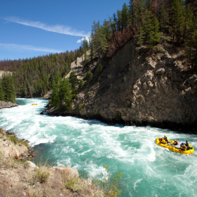
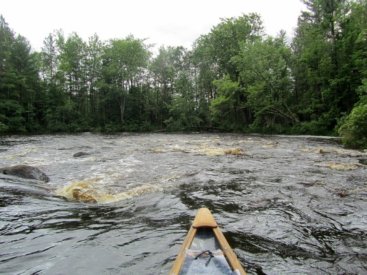
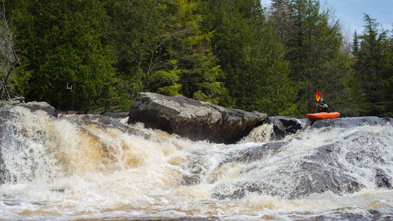
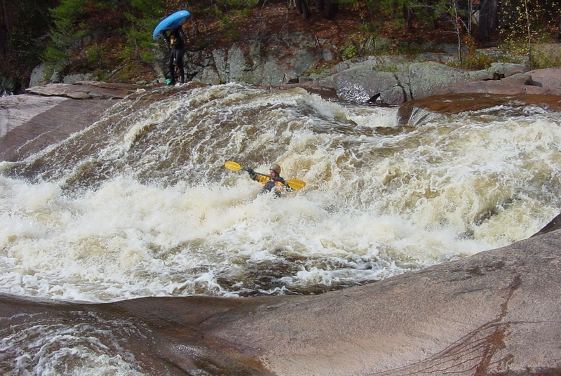
Waterfalls (1)
Hazards & Portages (1)
Caution: The following locations may require scouting or portaging. Always check current conditions.
Difficulty
Class II-V
Length
2.5 mi
Gradient
85 ft/mi
max 100
Rapids
4
1 Hazard
Access Points
Shuttle Info
From Rt.12 in Lowville (North)
Turn right on River Street/ Rt.22. Continue straight at the stop sign. Continue Until you pass over the first major stream. Look for Rudd Road or the sign that says Independence River.
From Rt.12 in Lyons Falls (South)
Turn right on Burdick's Crossing Road. There is a drive-in movie theatre you can use as a landmark. Continue until the road ends. Turn left onto Pine Grove Road. Continue until you see the next stream. There will be a sign that says Independence River.
To get to Fat Lady and the Wall simply take Rudd Road to the bridge. It is accessible from both sides of the river.
Shuttle:
Go South on Pine Grove Road. Take a left on School House Road. Turn left on Chase Lake Road. Take the second left onto Donnattsburgh Road. Continue to the end and park in the gravel lot.
Difficulty Classes
I Easy
II Novice
III Intermediate
IV Advanced
V Expert/Extreme
VI Unrunnable
Current Conditions
5-Day Forecast
Whitewater data from
American Whitewater
American Whitewater