2. Gobar Creek (Gate) to Lower Kalama Falls (Hatchery)
Gauge Conditions
Runnable: ? – ? CFS
Approximate reading: This gauge is 7.0 miles away on Kalama. Use as a general reference only.
Data from American Whitewater & USGS
Run Map
Run Time Estimate
Select put-in and take-out to estimate time.
Plan This Trip
See wind-adjusted speed maps, forecast planning, and detailed time estimates.
Sign in to generate an AI timing estimate for this run.
Whitewater timing varies with scouting, portages, and group pace. Use as a planning baseline.
Description
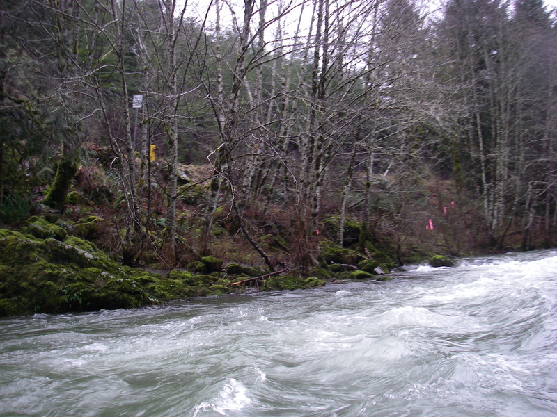
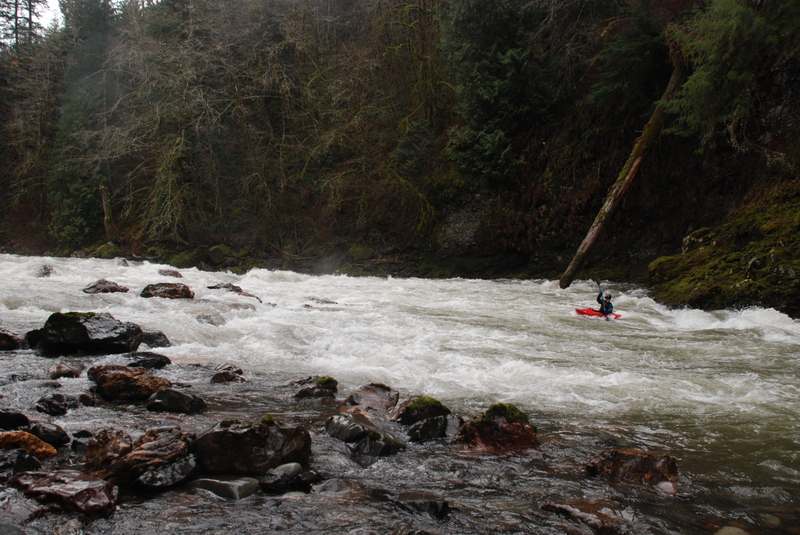
This run can be divided into a couple of sections. The first half from the 6450 Bridge (just upstream of the Weyerhauser gate) to the 8100 Bridge contains a number of good class II rapids. The one class III rapid is What's That Falls, a river wide ledge that is easy to scout from river left.
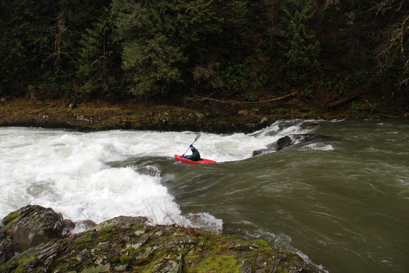
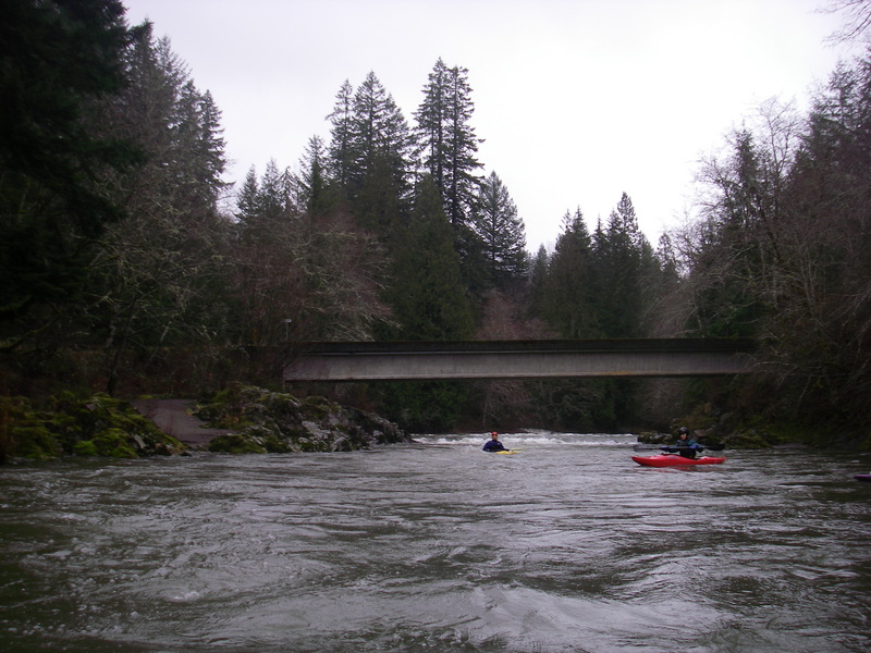
Those just looking for a short class II/III run may take out at the 8100 Bridge but for those who want to check out the most challenging drop on this run, you can continue downstream. The river passes through a mini gorge just downstream of the bridge and then you reach the horizon line at Leader Rapids. This boulder garden has a good line down the left and at higher flows you can pick your way through the boulders on river right. A couple more class II rapids follow but then the pace calms down considerably. You can continue on down to the fish hatchery which is about 4 miles of class I floating, or find a take-out along the road. Pay attention to private property though as there are several houses all along this section.
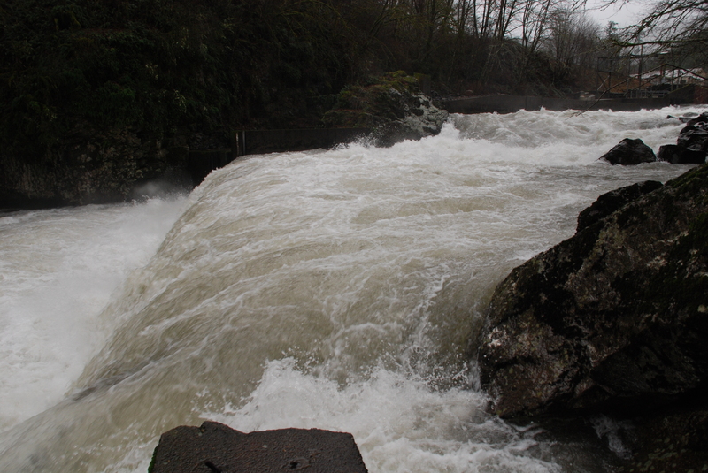
If you continue on down to the fish hatchery you can portage Lower Kalama Falls on river left and continue on with another two miles of great class III/IV down to Red Barn (the Lower Kalama run).
The gauge on the Kalama is located here. 500 cfs and up is best, Leader Rapids get harder below that, but the run was reported to still be enjoyable at 400 cfs.
Rapids in this Run (5)
Waterfalls (1)
Hazards & Portages (1)
Caution: The following locations may require scouting or portaging. Always check current conditions.
Difficulty
Class II-IV
Length
9.8 mi
Gradient
27 ft/mi
Rapids
5
1 Hazard
Access Points
Shuttle Info
From I-5 take exit 32 and head 8.5 miles up to the hatchery. You can turn down the drive into the hatchery and take-out there. To reach the put-in head upstream and 0.4 mile past the hatchy you will come to a fork. The left fork takes you on the Weyerhauser haul road and the right fork continues on the Kalama River Road. The Weyerhauser is a touch more direct but the Kalama River Road gives you a couple peaks at the river. It also provides access to the 8100 Bridge which is an alternate access point. In approximately 7 miles from the hatchery you will see a sign marking the end of the County Road and the gate for the Weyerhaeuser 6000 Road which continues on upstream. You can put-in here or if the gate is open continue up about half a mile to the 6450 Bridge.
Difficulty Classes
I Easy
II Novice
III Intermediate
IV Advanced
V Expert/Extreme
VI Unrunnable
Current Conditions
5-Day Forecast
Whitewater data from
American Whitewater
American Whitewater