2. Gold Ray Dam to Gold Hill Boat Ramp (up to 5.5 miles)
Gauge Conditions
Runnable: 800.0 – 3,000.0 CFS
Data from American Whitewater & USGS
Run Map
Run Time Estimate
Select put-in and take-out to estimate time.
Plan This Trip
See wind-adjusted speed maps, forecast planning, and detailed time estimates.
Sign in to generate an AI timing estimate for this run.
Whitewater timing varies with scouting, portages, and group pace. Use as a planning baseline.
Description
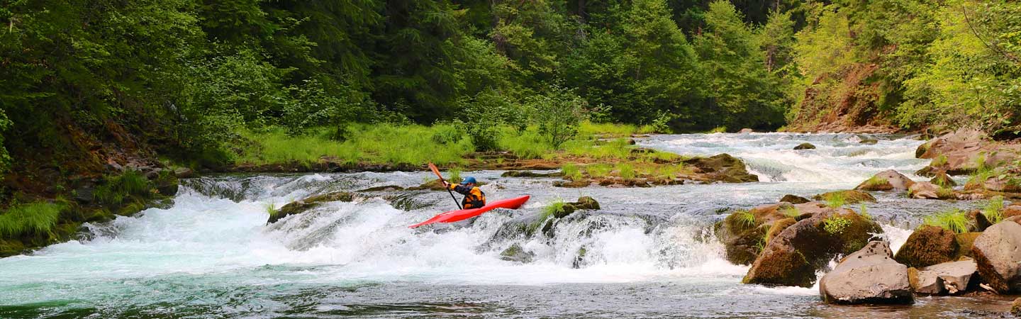
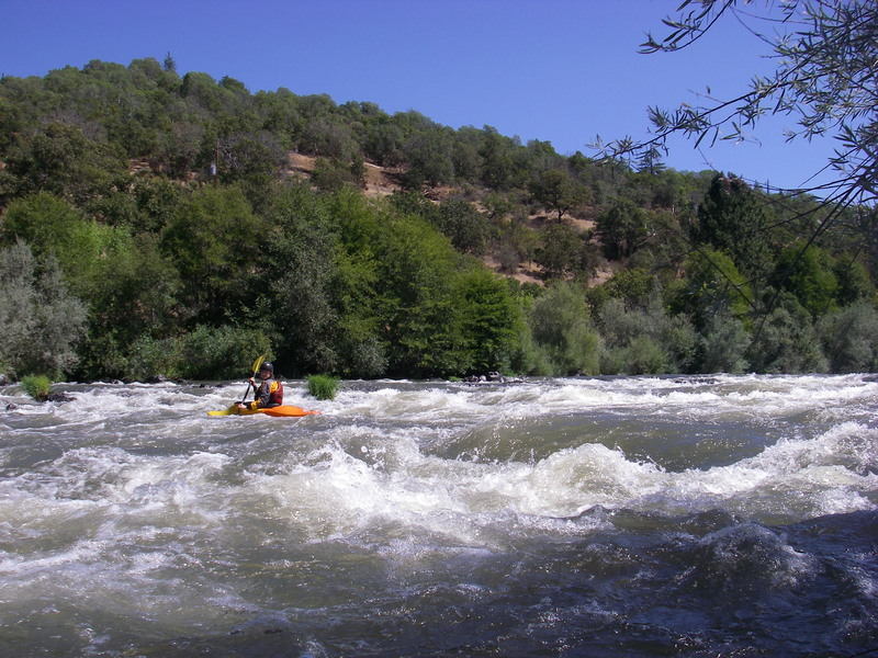
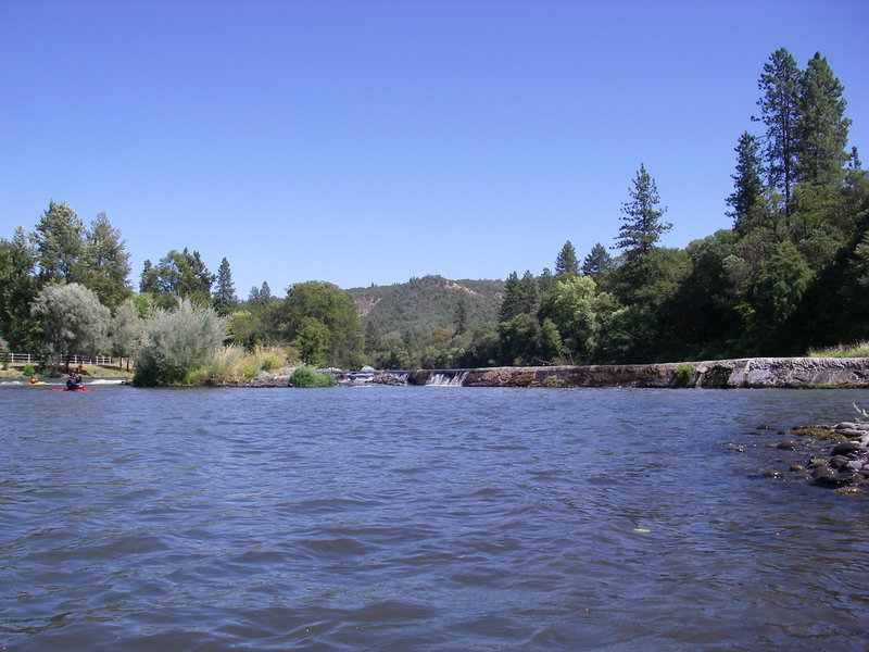
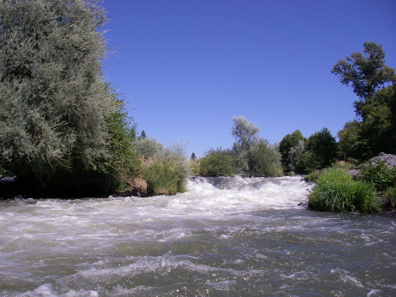
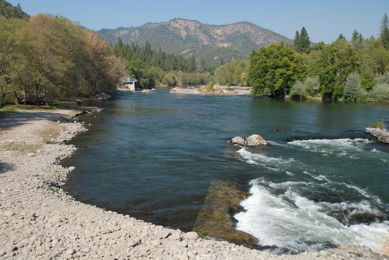
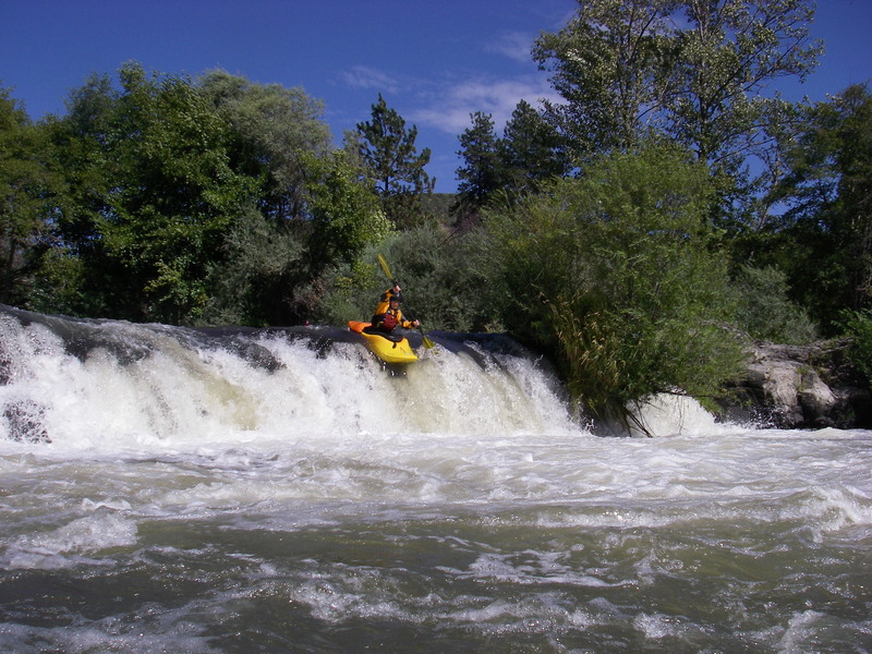
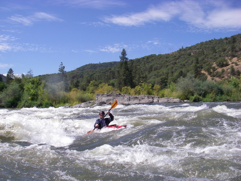
This is a popular local run for paddlers in the communities of Ashland, Medford, and Grants Pass that is accessible through the summer. Starting from the former Gold Ray Dam site, a dam that wave removed in 2010, the run is fairly mellow with a good bit of flatwater for the first couple miles. You can expect to see a diversity of bird life along this section. Within a couple miles the action begins to pick up with some fun class II rapids that offer good surfing. You will then pass an alternate access point on river right. For a quick run that takes in the best whitewater, paddlers often run the last two miles that start here. The action begins to pick up as your run the Broken Weir. An old concrete weir is still intact on river left and concentrates the flow into a gap on river right that forms a great little play feature. Nugget Falls is just downstream. The channel down the left is a fun ride. At the base of this rapid you will pass another access site on river right. The run continues with a float down to the former site of the City of Gold Hill's diversion weir. This dam was removed in summer 2008 and a new water intake has been constructed on river right. Immediately downstream the river takes the plunge over Ti’lomikh Falls (aka Powerhouse Rapid). There are several options here including an easier route down the right, a center line through the big hole, or a great boof move down the river left channel. Within a few more paddlestrokes you will come to the take-out and boat ramp at _Gold Rogue Sports Park_ on river right.
For a longer trip, you can continue downstream to the next run.
Logistics:
The put-in at the former _Gold Ray Dam site_ is located at river mile 125.9, elevation 1122' (at the base). From I-5 exit 35 take Blackwell Road 1.5 miles northwest to Gold Ray Road (just after you cross the railroad tracks). Take Gold Ray road 1.4 miles to the former Gold Ray Dam site. Access is available at a number of sites along river.
The take-out at _Gold Hill Boat Ramp_ is located at river mile 120.2, elevation 1056' accessible from I-5 exit 40. Cross the Rogue River and enter the town of Gold Hill. Take Highway 234 north out of town. The boat ramp is located less than half a mile out of town on river right at Gold Rogue Sports Park at Highway 234 mile 3.0.
Alternate intermediate access for the last part of the run is available by continuing upstream on river right on Highway 234.
Additional Resources:
Direct link to flow gauge: https://waterdata.usgs.gov/nwis/uv?site\_no=14359000
Nugget guidebook: https://gorafting.com/united-states/oregon/upper-rogue/
Rapids in this Run (8)
Difficulty
Class II-IV
Length
5.7 mi
Gradient
11 ft/mi
Rapids
8
Access Points
Difficulty Classes
I Easy
II Novice
III Intermediate
IV Advanced
V Expert/Extreme
VI Unrunnable
Current Conditions
5-Day Forecast
Whitewater data from
American Whitewater
American Whitewater