2. Griffith (Route 630 Ford) to James River
Gauge Conditions
Runnable: 300.0 – 20,000.0 CFS
At Griffith you'll want 600 or more, but there are reports you can put in at Sharon park as low as 300.
Data from American Whitewater & USGS
Run Map
Run Time Estimate
Select put-in and take-out to estimate time.
Plan This Trip
See wind-adjusted speed maps, forecast planning, and detailed time estimates.
Sign in to generate an AI timing estimate for this run.
Whitewater timing varies with scouting, portages, and group pace. Use as a planning baseline.
Description
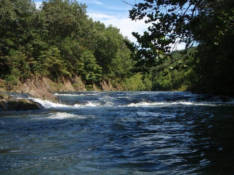
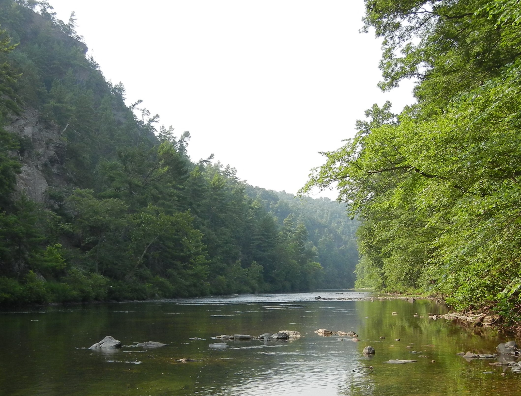
This is a great trip, with beautiful scenery and good water quality. Although there isn't a lot of whitewater, the current moves along well and there are plenty of riffles and small wave trains. The main rapid is a small ledge (II or II+) about a mile downstream from Griffith. Run on the left side with a little left angle. Two other spots may be worth mentioning for novices. First, after passing under the I-64 bridges, there is a third bridge (Longdale Furnace Rd.) where the main current flows directly into a bridge piling (see the gallery for what can happen here). However, it's easy to see from upstream and move to the right. Second, about a mile downstream, there is an island where most of the flow goes left. Near the end of the island, the flow accelerates and pushes into a cliff on the left. This can be avoided with some right angle and a little paddling.
Alternate accesses are at Sharon park (5 mi.) and Evans Tract (10 mi.), where the gauge is located. Generally 600-700 is the minimum for putting in at the Griffith ford.
See Also:
_Virginia Whitewater_, Roger Corbett (2000 ed.), p. 250.
_Exploring Virginia's Waterways_, Ed Gertler (2022 ed.), p. 180.
Rapids in this Run (3)
Difficulty
Class I-II
Length
13.0 mi
Gradient
10 ft/mi
Rapids
3
Access Points
Difficulty Classes
I Easy
II Novice
III Intermediate
IV Advanced
V Expert/Extreme
VI Unrunnable
Current Conditions
5-Day Forecast
Whitewater data from
American Whitewater
American Whitewater