2. Lower Cartecay Road to Stegall Mill Road Road
Gauge Conditions
Runnable: 1.8 – 6.0 FT
Data from American Whitewater & USGS
Run Map
Description
Gauge Description:
The gauge is located at the East Ellijay city limits on Highway 52 - about 1/4 mile east of the Highway 515 bridge.
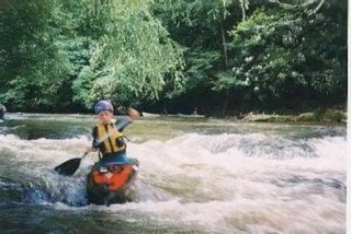
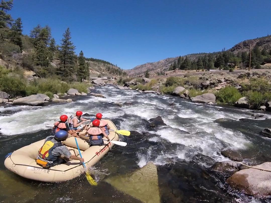
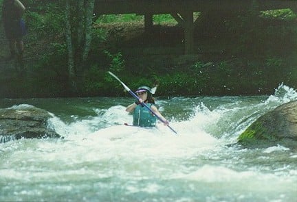
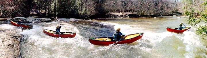
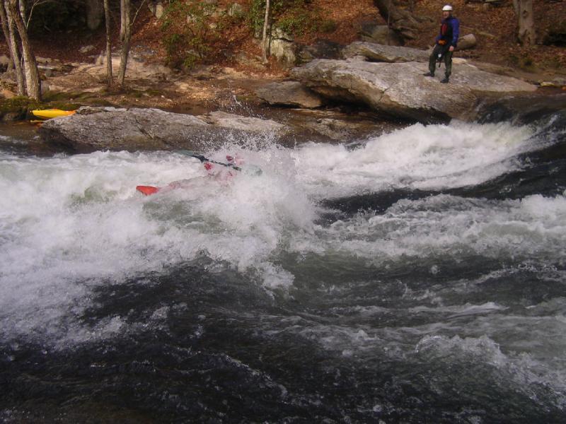
Most of this section of the Cartecay River runs through a residential area. There are no restrooms after you put in and most of the river banks are on private property. So, please take care of these needs before putting on. You will paddle past cabins and homes on both sides of the river for most of this section. Most of the homeowners are friendly toward the boating community, but they do not want to see you nude, nor do they want you going to the bathroom in their yard. It is recommended that you keep your groups small and quiet and not stay too long at any one spot, or put on the river after dark. In short, please be respectful to the home owners.
Put in at the bridge on Lower Cartecay Road. There is a put-in on river left that is managed by a commercial outfitter.
The Mulkey Road takeout is just past the bridge downriver from 'Blackberry Falls' on river right. Please do not change clothes at the takeout. You should be aware that parking is limited and the parking lot is closed from Friday through Monday from May 15th to September 15th. If you take out here, you should arrange for someone to pick you up after you get off the river.
When the level is 2.4' or better it is worth it to paddle on down to the DNR takeout.
Difficulty
Class I-II+(III)
Length
2.3 mi
Gradient
28 ft/mi
max 50
Rapids
6
Access Points
Difficulty Classes
I Easy
II Novice
III Intermediate
IV Advanced
V Expert/Extreme
VI Unrunnable
Current Conditions
5-Day Forecast
Whitewater data from
American Whitewater
American Whitewater