2. N. Fork Sullivan to Hwy 31 (Gorge)
Gauge Conditions
Runnable: ? – ? CFS
Approximate reading: This gauge is 6.7 miles away on Sullivan Creek. Use as a general reference only.
Data from American Whitewater & USGS
Run Map
Run Time Estimate
Select put-in and take-out to estimate time.
Plan This Trip
See wind-adjusted speed maps, forecast planning, and detailed time estimates.
Sign in to generate an AI timing estimate for this run.
Whitewater timing varies with scouting, portages, and group pace. Use as a planning baseline.
Description
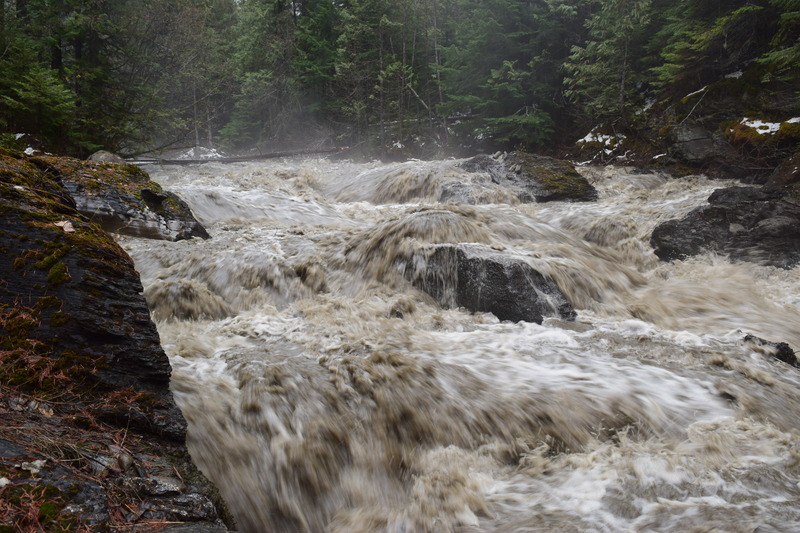
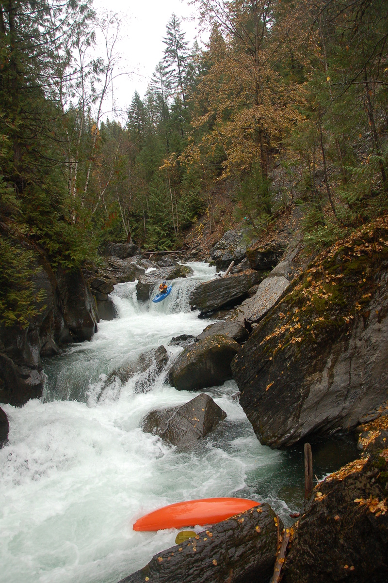
Sullivan Creek is a Class IV-V blue water stream flowing from the corner of WA, ID, and BC. Sullivan is shrouded in cedars and tucked in an imposing dark gorge, and the watershed supports rare animals like mountain caribou, grizzly bears, lynx, bull trout, mountain whitefish, and genetically pure redband trout. Think of it as a little piece of British Columbia dipping down into Eastern Washington.
Check out a video of a fall descent of the Sullivan Creek Gorge, with a bit of information on American Whitewater's work in the watershed. NOTE that some of the rapids appear to have changed significantly since this video was taken, including the nice little falls near the end of the run.
Thanks to negotiations by American Whitewater, Sullivan Lake is drawn down each fall resulting in ideal boating conditions starting sometime in early to mid September, continuing 24/7 until lake level targets are met, which is likely to extend to September 30th and possibly longer. American Whitewater negotiated enhancements to the historical drawdown releases including starting a month earlier, targeting 3 weekends for optimal boating flows, and the installation of new online stream gages. Specifically, the flows begin increasing the Tuesday after Labor Day at no more than 80 cfs per day, but there are strict limits on how much water temperatures can be raised each day which can in turn limit the amount of the flow released. Paddlers can watch the flow increase on the stream gage for the Sullivan Creek Gorge on the AW page, and once the releases are up the river should flow more or less consistently for much of the fall unless rising stream temperatures require easing flows. The agreement includes a goal of at least three weekends of predictable flows in the 180-220 cfs range early in the season, which are ideal flows for paddling. The drawdown release should cease by November 15.
Wood tends to plague Lower Sullivan Creek, and along with its remote location is the reason it does not get paddled a lot. The steep erosive gorge walls and meandering upper reaches both contribute wood to the lower section of the stream, and it can get chocked into the gorge in dangerous and wildly inconvenient ways. In some years though it is pretty clear and totally manageable. Best to check with locals on the North Idaho Whitewater Boaters facebook page, or proceed with caution.
Rapids in this Run (1)
Waterfalls (1)
Difficulty
Class IV-V
Length
1.9 mi
Gradient
194 ft/mi
Rapids
1
Access Points
Difficulty Classes
I Easy
II Novice
III Intermediate
IV Advanced
V Expert/Extreme
VI Unrunnable
Current Conditions
5-Day Forecast
Whitewater data from
American Whitewater
American Whitewater