2. Ponderosa Way Bridge to Leininger Road Bridge
Gauge Conditions
Runnable: 400.0 – 1,000.0 CFS
Data from American Whitewater & USGS
Run Map
Interactive run map
Loads as you approach this section.
Run Time Estimate
Select put-in and take-out to estimate time.
Plan This Trip
See wind-adjusted speed maps, forecast planning, and detailed time estimates.
Sign in to generate an AI timing estimate for this run.
Whitewater timing varies with scouting, portages, and group pace. Use as a planning baseline.
Description
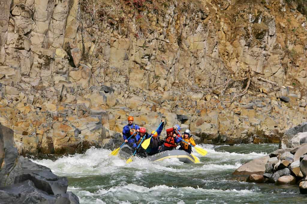
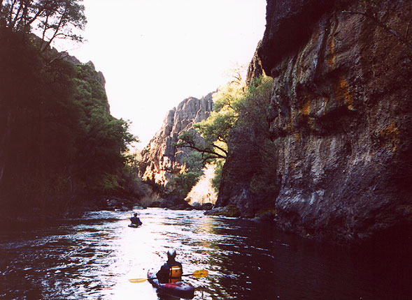
Deer Creek has the lore of the Ishi Wilderness hemmed in by basalt and poison oak. The rapids are tasty and the window on this run is limited which is best enjoyed as a multi-day expedition. Deer Creek flows through the land of the Yahi Yana people cutting into some beautiful remote areas with thick chaparral vegetation and mini-canyons. Deer Creek sits in the Lassen National Forest and holds some unique geology and whitewater.
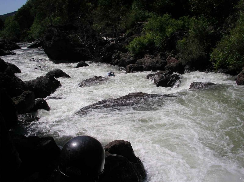
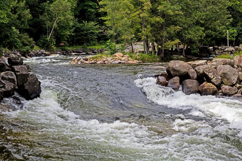
This lower section of Deer Creek starts off with a bang, with several Class IV rapids that start about a half mile below the bridge. After the first mile and a half of Class IV you will find miles of boat-scoutable class III and easy IVs. The one exception is the Black Tower. This rapid has changed over the years and has become a jumbled up mess that is notorious for collecting wood. There are several incidents of boats being pinned in this rapid (see reports below). The rapid is very recognizable by the large black lava rock tower in the river.
The crux of the run is Ishi Falls at river mile 8. A straight forward slot is just above Ishi Falls. Be careful not to get tempted into the falls before scouting. From here to the take-out are miles of very pleasant, mostly boat-scoutable class III and IV rapids. One rock jumble, Camp Rapid, is often run on the right, but even that line is junky.
Gradually, the run transitions into an open lava-cliffed canyon, with several narrow lava channels. The cliffs build until you break out into the valley. The hour and a half of flat braided channels in the valley is not the best part of the run, but a small price to pay for an amazing experience.
Be advised that most of the lower part of this river runs through private property. Please be respectful. Also be advised that an easement allows public access on either side of the Leininger Road bridge. Paddlers have been challenged when using this access in the past. Be polite but clear that you have the right to exit the river at that location.
Rapids in this Run (11)
Hazards & Portages (1)
Caution: The following locations may require scouting or portaging. Always check current conditions.
Difficulty
Class IV-V
Length
23.7 mi
Rapids
11
1 Hazard
Access Points
Difficulty Classes
I Easy
II Novice
III Intermediate
IV Advanced
V Expert/Extreme
VI Unrunnable
Current Conditions
5-Day Forecast
Whitewater data from
American Whitewater
American Whitewater