2. Portland Mills, PA to Cooksburg, PA Scenic
Gauge Conditions
Runnable: 300.0 – 10,000.0 CFS
Data from American Whitewater & USGS
Run Map
Put-in
Take-out
Rapids/Hazards
Scenic
Recreational
Run Time Estimate
Select put-in and take-out to estimate time.
Plan This Trip
See wind-adjusted speed maps, forecast planning, and detailed time estimates.
Sign in to generate an AI timing estimate for this run.
Whitewater timing varies with scouting, portages, and group pace. Use as a planning baseline.
Description
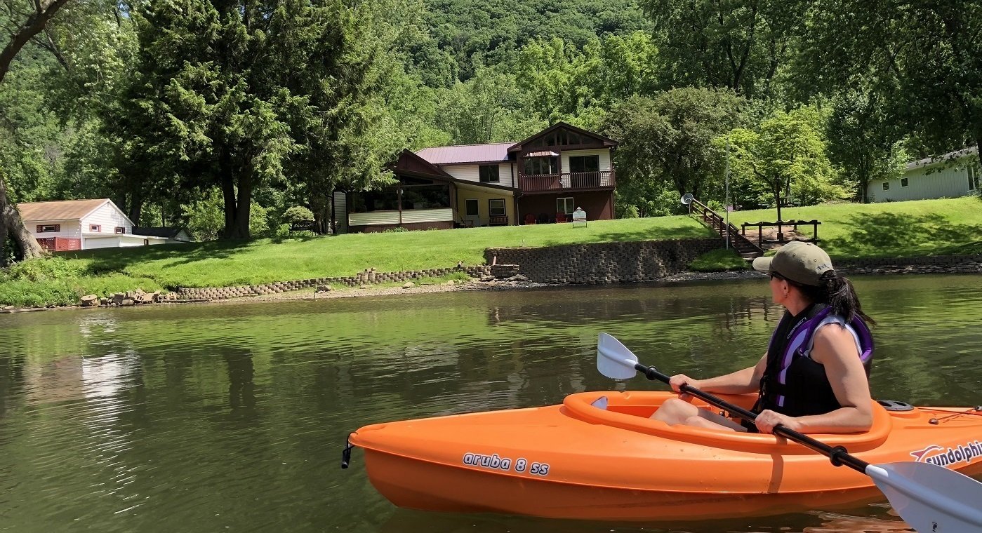
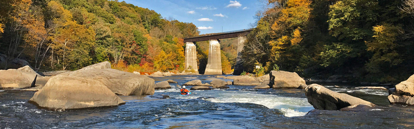
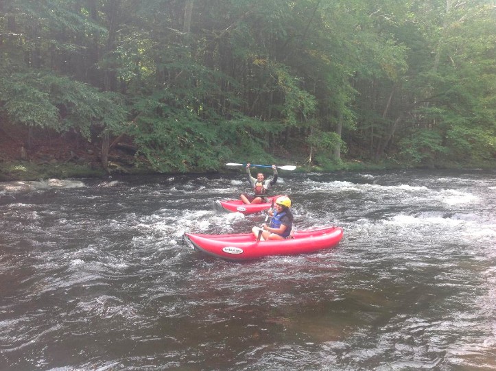
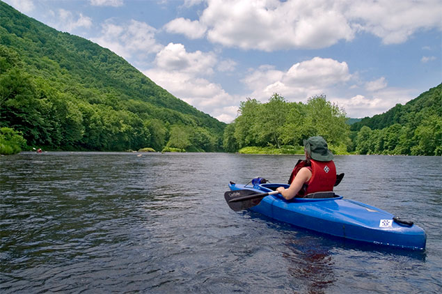
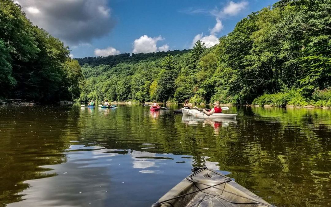
The Clarion River is a beautiful place to paddle, and a federally-designated Wild and Scenic River, with long stretches of calm water interspersed with rapids that can reach easy class II. This reach starts at Portland Mills, goes along the southern boundary of the Allegheny National Forest, past Clear Creek State Park and Cooks Forest State Park. The section between Arroyo bridge and the Irwin Run canoe launch is in the National Forest and has the best legal riverside wilderness camping found in western Pennsylvania, as well as three of the best rapids, called 'X', 'Y', and 'Z'. There are other rapids between Hallton and Belltown, as well as a few smaller ones downstream. These rapids are small at 300 cfs, but at 2000 cfs on the Cooksburg gauge they get a little more interesting. Just upstream from the bridge at Belltown a parking lot on river left provides access to an interesting play spot for beginners - an old abandoned gas pipeline across the bed of the river creates a river-wide wave (about 40 feet wide) up to nearly a foot tall. This wave is buried when water levels get up a little - say above 2000 cfs.
Camping is available at Cooks Forest State Park, Clear Creek State Park, and several campgrounds in the National Forest. Primitive camping is allowed in most of the National Forest and there are a few sites right beside the river between Clarington and Irwin Run.
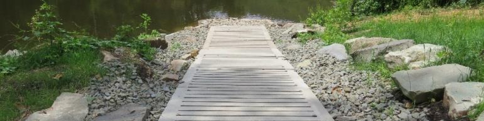
Access is good, with a road running on river right from Cooksburg to Irwin Run providing dozens of spots to park and put in, as well as several canoe launches (see the water trail guide). At Arroyo bridge a parking area and put in is available where the road crosses the river. Another canoe launch area is just east of Portland Mills on Route 949.
Two canoe liveries serve paddlers in Cooksburg as well as one in Ridgway. On summer weekends the river near Cooksburg is crowded with paddlers dragging heavy aluminum rental canoes through the shallows, so stick to the upper half. The best section is from Portland Mills to Irwin Run canoe launch - about 8 miles with 5 fun little rapids to play in.
If you want to paddle the downstream section from the end of the reservoir to the Allegheny you'll have to rely on releases from the Piney Dam. It's a scenic, isolated valley with small rapids that isn't paddled often because of the unpredictable releases. Call the dam at (814) 226-8630 to find out when they release, or watch the USGS gage and try to guess from the pattern what's going to happen.
Rapids in this Run (10)
 Rapid
Rapid
River Access - Arroyo Bridge
 Rapid
II
Rapid
II
X Rapid
 Rapid
II
Rapid
II
Y Rapid
 Rapid
II
Rapid
II
Z Rapid
 Rapid
Rapid
River Access - Irwin Run Canoe Launch
 Rapid
Rapid
River Access - Hallton Canoe Launch
 Rapid
Rapid
River Access - Belltown
 Rapid
Rapid
River Access - Clear Creek Canoe Launch
 Rapid
Rapid
River Access - Barnett Canoe Launch
 Rapid
Rapid
River Access - Cook Forest Canoe Launch
Difficulty
Class I(II)
Length
34.0 mi
Gradient
6 ft/mi
max 10
Rapids
10
Access Points
Difficulty Classes
I Easy
II Novice
III Intermediate
IV Advanced
V Expert/Extreme
VI Unrunnable
Current Conditions
5-Day Forecast
Whitewater data from
American Whitewater
American Whitewater