2. Remington (Route 15/29) to Kellys Ford
Gauge Conditions
Runnable: 3.5 – 6.5 FT
Below 3.8 feet it gets progressively boney in places.
Data from American Whitewater & USGS
Run Map
Description
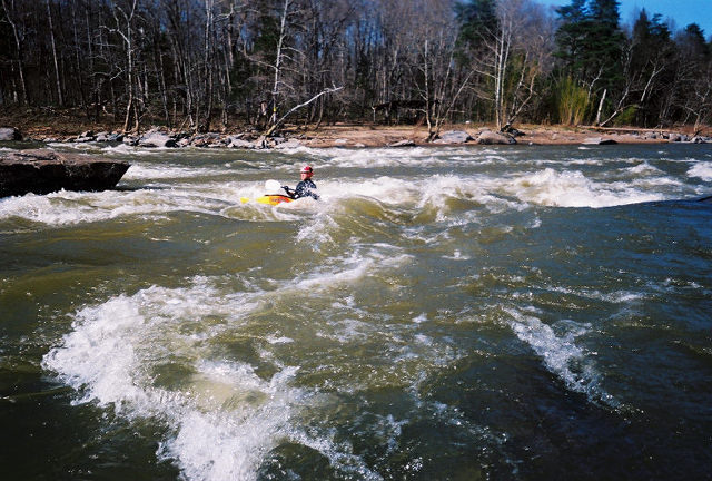
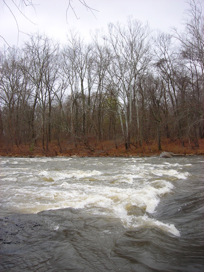
This one is fire and ice. It starts with 3 miles of moving flatwater through pastoral countryside, then ends with just over a mile of Class II+ whitewater at the end. There is a new Remington Rappahannock put-in that is described below under River Features. The first minor rapid, Railroad Rapids, can be seen 150 yards downstream. The next three miles are flat but pretty, with 10 ft banks shielding you from the surrounding farmland. On my last trip here I saw herons, turtles and a bald eagle.
The action starts after a gas pipeline crosses the river. There is a very small drop here, and vegetation is partially cleared on both banks. After a minor rock garden, you will approach 'Sandy Beach' Rapids, the largest rapid (Class II+) on this section of the river. This rapid can be bank scouted on the right. The actual sandy beach is posted and located below the rapid on river left. You then pass through a succession of rock gardens as well as two more Class II rapids and one Class II+ ('Piggly Wiggly' rapid). As you go through 'Piggly Wiggly' rapid, the Kellys Ford bridge swings into view. Take out on river right at the public boat launch parking lot. The adventurous can run the boat launch itself, a Class II move.
Both the putin and takeout were the scenes of minor Civil War skirmishes. The Rappahannock served as a de facto border between the North and South during the war, and springtime flooding of the river complicated many a Northern general's plans.
\*An Alternative put-in exists 0.85 miles north of the take-out, on Kelly's Ford Road at the Wildlife Management Access. This access involves a 0.45 mile walk down a gravel road, then take a left at the civil war monument and follow a 200 yard faint trail system down to the river. This will put you on river right above Sandy Beach Rapid
\*Another alternative put-in exists - 0.48 miles north of the take-out on Summerduck road - at the Handi-cap Hunting Access. This involves a 0.25 mile hike on winding trails down to the river. This puts you at the river below Sandy Beach rapid, but a 0.25 hike/attain up the river will get you to Sandy Beach Rapid. River left, at and for a bit below Sandy beach, is private property, so ferry across to the Wildlife Management and walk if you don't want to attain.
Rapids in this Run (2)
Difficulty
Class II+
Length
4.6 mi
Gradient
12 ft/mi
Rapids
2
Access Points
Difficulty Classes
I Easy
II Novice
III Intermediate
IV Advanced
V Expert/Extreme
VI Unrunnable
Current Conditions
5-Day Forecast
Whitewater data from
American Whitewater
American Whitewater