2. Route 2A to Black Hole through Pulaski
Gauge Conditions
Runnable: 750.0 – 10,000.0 CFS
Data from American Whitewater & USGS
Run Map
Interactive run map
Loads as you approach this section.
Description
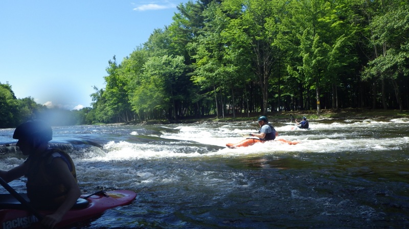
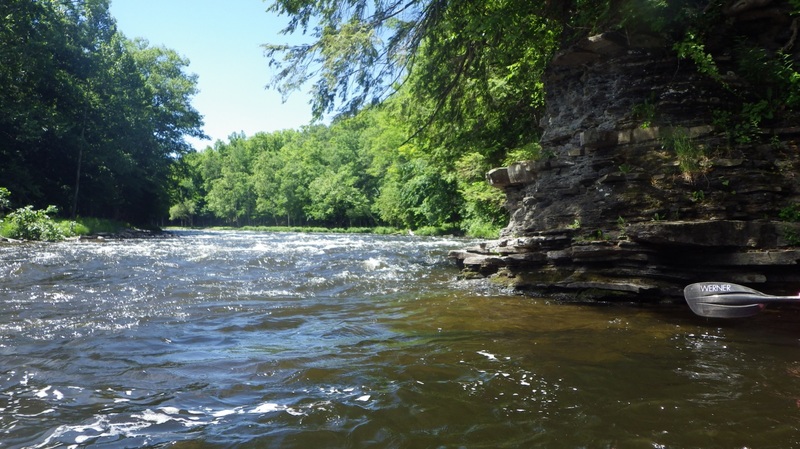
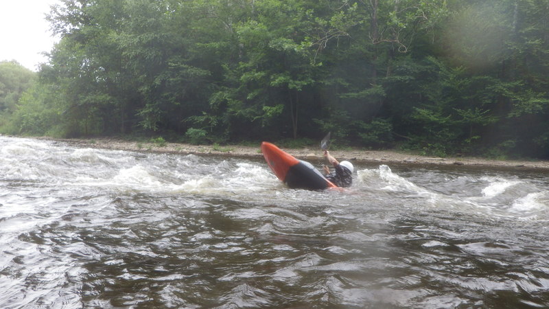
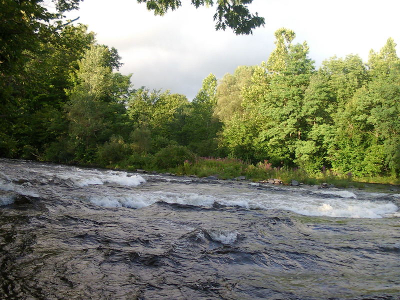
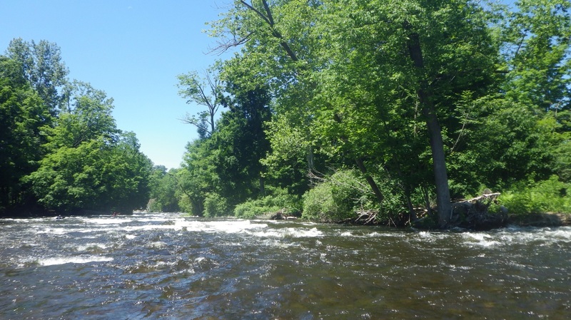
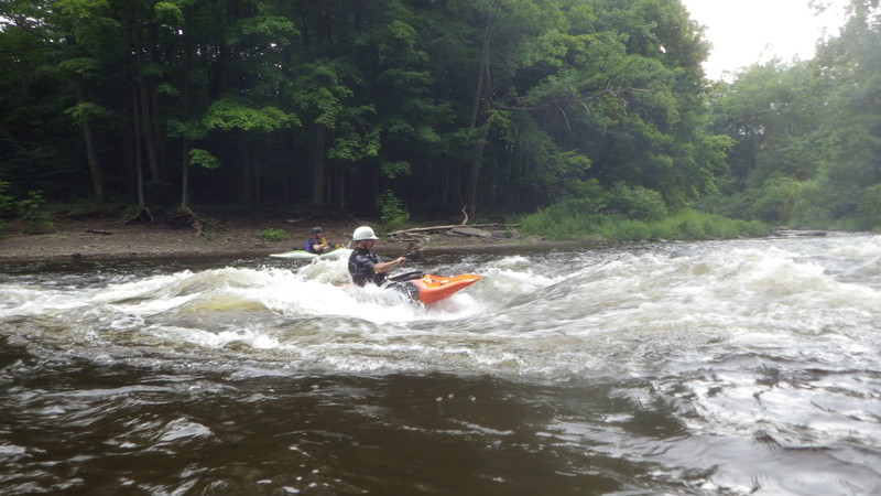
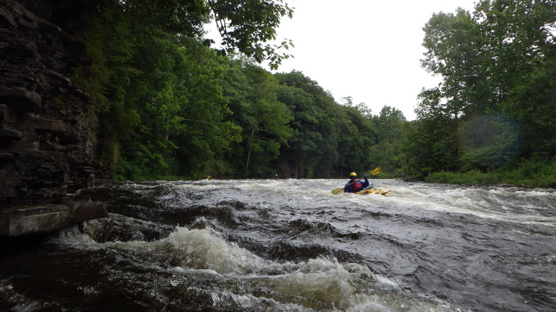
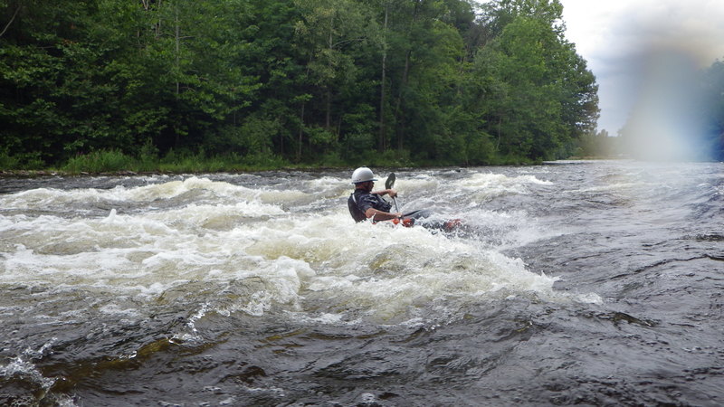
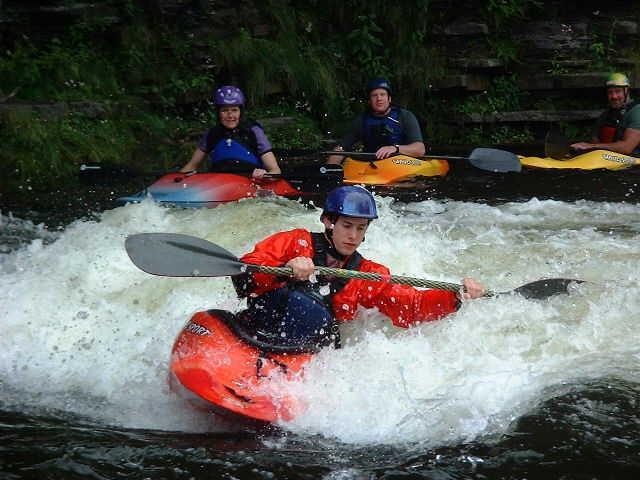
The Salmon is a pleasant Class-II stream which runs fairly frequently. It's one of the most reliable runs in western NY. Releases in mid-late summer make it runnable when most streams have dried up. There's some pretty good play, culminating in Titanic, an excellent hole.
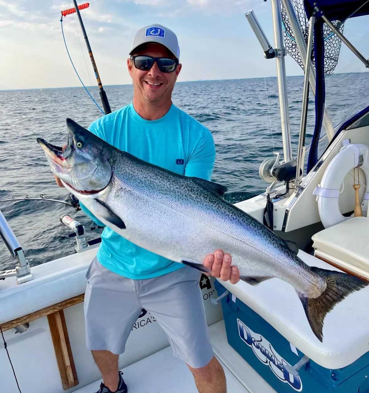
It's also a popular fishing river. When the fishermen are angling for salmon, you can find yourself threading the needle among multiple fishing lines.
Scheduled releases, with natural flow after heavy rain.
Directions from Mike Shafer, of the FLOW Paddlers' Club:
Putin: Best place to put-in is at a place called 'Trash Compactor.'
From I-81 take exit #36, for Rte. 13. (approx 35 miles north of Syracuse)
Turn right, going East on Rte. 36.
Approx 1 mile, make a left turn onto Rte. 2A.
Approx 1/10 of a mile, you are on a bridge crossing the Salmon.
Turn right, just over the bridge, into the parking lot/DEC access site...
...you can see it looking right (upstream) from the bridge.
Takeout: You have to drive through town, to a place called Black Hole (at the wastewater treatment plant).
People in town could direct you there (or check out the map in the Directions tab), but there should be no problem hooking up for a shuttle from the put-in lot. Shuttle's only about 10 minutes, each way.
Sharon sez: 'The Salmon has a TON of surfing. The higher the water, the better. Get there at 2000 cfs in the spring if you can.'
Check out the Salmon site for some info on this river.
The CNY Club maintains an Events Calendar which might help you hook up with people who have info on this run.
The date of this year's Salmon Festival is not yet known; check the Zoar Valley Paddling Club for updates.
Watertown Area Reaches:
Black River (Rt. 3 Wave) Black River (Watertown to Brownville)
Black Creek Deer River (Section 1)
Deer River (Section 2) Roaring Brook (Brokeback Gorge)
Salmon River (Section 1) Salmon River (Section 2)
Sandy Creek South Sandy Creek (Section 1)
South Sandy Creek (Section 2) Mad River
Mill Creek Negro Brook
Syracuse Area Runs:
Butternut Creek Chittenango Creek (Cazenovia)
Chittenango Creek (Chittenango) Fish Creek E. Branch (Taberg)
Limestone Creek (Edwards Falls) Oriskany Creek (Oriskany Falls)
Oriskany Creek (Clinton) Owasco River (Outlet)
Salmon River (Section 1) Salmon River (Section 2)
Google Map of New York Whitewater
New York Whitewater Paddlers Facebook Group
Rapids in this Run (10)
Difficulty
Class I-III
Length
3.8 mi
Rapids
10
Access Points
Shuttle Info
Putin: Best place to put-in is at a place called "Trash Compactor."
From I-81 take exit #36, for Rte. 13. (approx 35 miles north of Syracuse)
Turn right, going East on Rte. 36.
Approx 1 mile, make a left turn onto Rte. 2A.
Approx 1/10 of a mile, you are on a bridge crossing the Salmon.
Turn right, just over the bridge, into the parking lot/DEC access site...
...you can see it looking right (upstream) from the bridge.
Takeout: You have to drive through town, to a place called Black Hole (at the wastewater treatment plant).
People in town could direct you there (or check out the map in the Directions tab), but there should be no problem hooking up for a shuttle from the put-in lot. Shuttle's only about 10 minutes, each way.
_Lat/longitude coords for putin and takeout are verified by GPS._
Difficulty Classes
I Easy
II Novice
III Intermediate
IV Advanced
V Expert/Extreme
VI Unrunnable
Current Conditions
5-Day Forecast
Whitewater data from
American Whitewater
American Whitewater