2.) Sterrettania to Route 98
Gauge Conditions
Runnable: 5.1 – 10.0 FT
Data from American Whitewater & USGS
Run Map
Description
First 2.4 miles: Class II
Last 2.1 miles: Class I
This run is broken into two halves. The first half is much like Upper Elk Creek except wider causing it to require a little higher level than the upper section. There is a painted gauge on a West Road bridge pier on the right side of the river at the intersection with 832 in the PA Fish and Boat Commission Access area. This gauge is in increments of .25 ft. If it is reading a little over 1 ft, you will have just enough water for this run to be worth it. Shortly below Sterrettania the run goes from an intimate stream to river characteristics. The rapids are just as big as Upper Elk, but much more open. Middle Elk is suitable for almost any boat but is ideal for rafts. It is also possible to canoe this section making it one of the only runs in the area with Class II rapids suitable for canoeing.
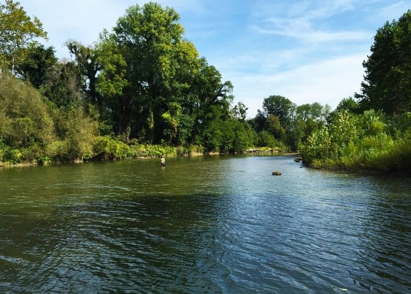
There are a lot of nice ledges and surfing possibilities packed into a short stretch in the Sterrettania area. About .75 miles below the put-in there is a nice 4 ft drop (Peffer Falls.) It is very similar to Sterrettania Falls on Upper Elk and is also very boney even when the level is well above the minimum recommended level. From here the run grudually becomes more tame but more scenic and remote. There is a beautiful waterfall on a sidestream that enters river left.
The run is very tame below the Streutchen Flats except for one good sized riffle about .5 miles downstream and a couple of nice surf waves just upstream from Route 98.
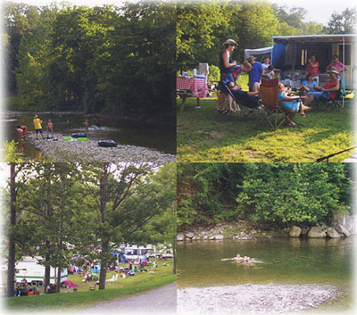
There is an access area mid run in a place called the Streuchen Flats. It is a bit difficult to find if you are not familiar with the area. It is at a dead end on Elk Valley Road. If you pull out of the PA Fish and Boat Commission Access Area and go South on Route 832 for about 1 mile it will be on the left. To get to the full length take-out, keep going on South on Route 832 until you come to a stop sign at the intersection of Route 98. Turn left and go down the hill about .4 miles. Just after crossing the river you will see Folly's End Campground on the right-hand side. Pull in and park along the hill going down to the campground. It is a short walk to the river. You can park closer to the river by paying a small fee at the campground.
Rapids in this Run (3)


Playspots (1)
Difficulty
Class I(II)
Length
4.4 mi
Gradient
21 ft/mi
max 27
Rapids
3
Access Points
Difficulty Classes
I Easy
II Novice
III Intermediate
IV Advanced
V Expert/Extreme
VI Unrunnable
Current Conditions
5-Day Forecast
Whitewater data from
American Whitewater
American Whitewater