2. Sutton Dam to Antioch Bridge Wild
Gauge Conditions
Runnable: 2.6 – 7.6 FT
Flow range for best boatability uncertain. Please help your fellow boaters with a comment or report.
Data from American Whitewater & USGS
Run Map
Put-in
Take-out
Rapids/Hazards
Wild
Run Time Estimate
Select put-in and take-out to estimate time.
Plan This Trip
See wind-adjusted speed maps, forecast planning, and detailed time estimates.
Sign in to generate an AI timing estimate for this run.
Whitewater timing varies with scouting, portages, and group pace. Use as a planning baseline.
Description
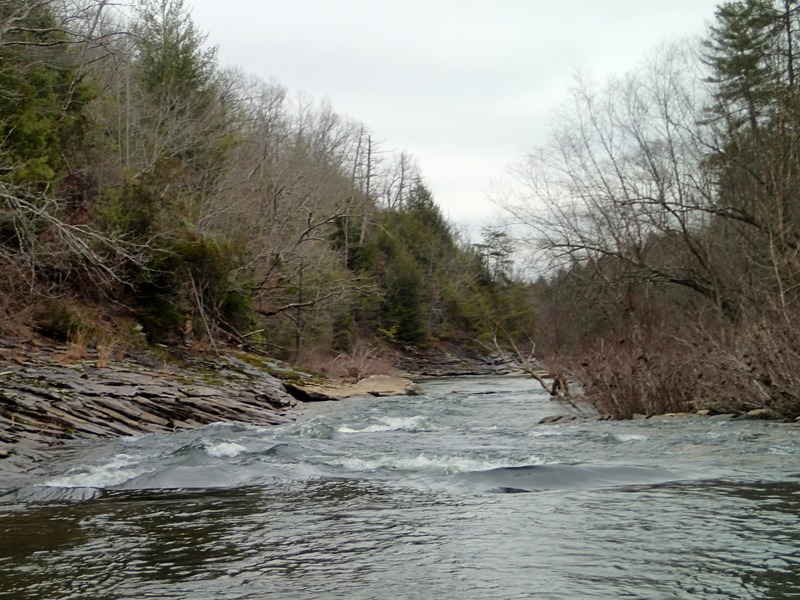
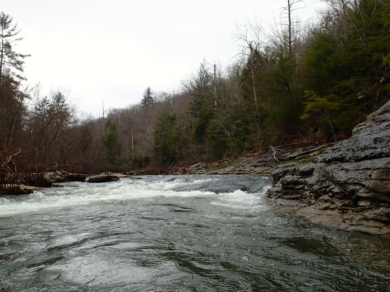
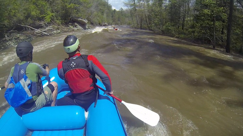
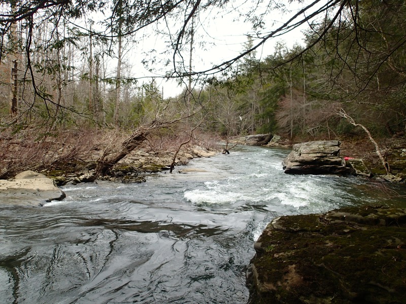
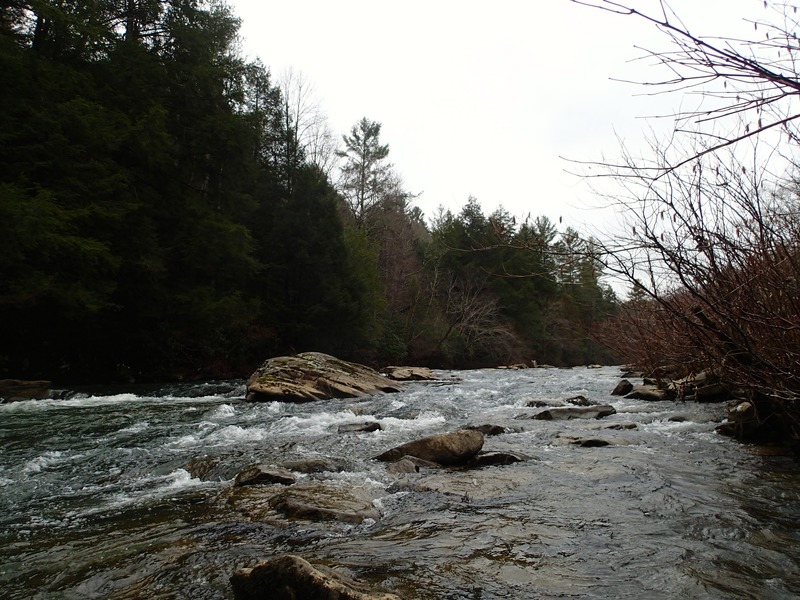
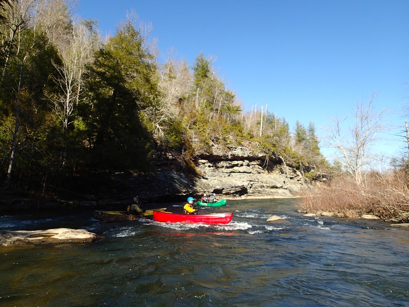
Paddlers Guide to the Obed Emory this run starts slow for the first two miles and than builds with a mini gorge containing 3 class 2+ rapids. After 3 more miles of flat water there is a nice set of about 10 class 2+ rapids. Total distance is 8.35 miles. At low flows, 3.2 ft and lower, there are only about 4 or 5 Class II rapids with the only real action in the last 2.5 miles.
Rapids in this Run (2)
Playspots (1)
Hazards & Portages (3)
Caution: The following locations may require scouting or portaging. Always check current conditions.
Difficulty
Class I-II
Length
26.0 mi
Gradient
21 ft/mi
Rapids
2
3 Hazards
Access Points
Shuttle Info
From Coal Creek Farm put in: take 68 north west,
go right on Cox valley, Right on TN-70, left on first road after going under I-40, right on
Chestnut Hill Road. - Parking at both the put in and take out is ample.
Difficulty Classes
I Easy
II Novice
III Intermediate
IV Advanced
V Expert/Extreme
VI Unrunnable
Current Conditions
5-Day Forecast
Whitewater data from
American Whitewater
American Whitewater