2. Thermalito Outlet to Highway 99
Gauge Conditions
Runnable: ? – ? CFS
Approximate reading: This gauge is 0.2 miles away on Feather. Use as a general reference only.
Data from American Whitewater & USGS
CDEC Flow Data California
Data from California Data Exchange Center (CDEC)
Run Map
Run Time Estimate
Select put-in and take-out to estimate time.
Plan This Trip
See wind-adjusted speed maps, forecast planning, and detailed time estimates.
Sign in to generate an AI timing estimate for this run.
Whitewater timing varies with scouting, portages, and group pace. Use as a planning baseline.
Description
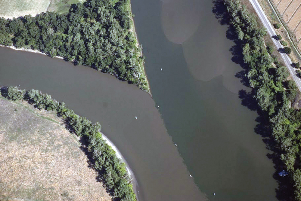
The Feather River from Oroville to the Sacramento River confluence is a wide, flat, but scenic river with regular high flows. Much of these high flows are destined to be pumped into the California Aquaduct at Tracy and send south to farms in the San Joaquin Valley, coastal cities and farms, and even on to the Los Angeles basin.
The river is contained between high levees to protect the surrounding farmland from periodic flooding. In many areas the riparian zone is sadly narrow, but there are also large areas of wildlands and wildland preserves. The Department of Fish and Game has a number of wildlife areas along the river which are open to exploration by the public. Salmon, steelhead, shad, and striped bass can be found in the Feather River, making this area very popular with fishermen.
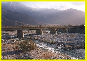
Put in: Oroville Wildlife Area is open for day use, from one hour before sunrise to one hour after sunset. There is also an overnight camping area near the Thermolito outlet. There are numerous alternate put in and take out locations along the river.
Francis Coats has kindly supplied the following information about the river between Yuba City and Nicolaus.
1\. Putting in at Boyd Pump, a public boat ramp, ($5 days use fee) (right bank of river) off Garden Highway south of Yuba City between Barry Road and Oswald Road (if you put in at Yuba City you will have to portage around the rapids/chute at Shanghai Bend, a clay formation in rapid transition and very variable depending on water height - don't try running this unless you have scouted it that day and really know what you are doing);
2\. At Starr Bend Road / north end of O'Connor Lakes Wildlife area on right bank, you can pull out or put in, but it is a quarter mile or so between where you can park your vehicle and where you can get in the river. This is where the river makes a hard left turn and runs east. Right at the elbow, on the right bank, there is a low access to the river, where you can easily put in or pull out).
3\. As an alternative, on the left bank/Yuba County side, at what is now called "Star Bend boat ramp," (both spelled wrong and historically known as Plumas Landing, not really Starr Bend or Starr's landing historically) there is a free public boat ramp, slightly rougher neighborhood, greater likelihood of car break-in. This is where the river makes a sharp right turn and heads southerly again.
4. At Wilkie Road, on right bank, there is a cut-in where the river goes all the way to the levee and there is a public road all the way to the levee on the other side. However, the landowner here does not think you have a right to cross whatever portion is above high-water mark, if there is any. So think of this as an emergency option.
5. Pull-out either at ditch on Nelson Slough wildlife area, on right bank; or south of bridge on left bank, where bottom lands taper away and river runs right next to left bank levee. If you pull out on right bank, have a cart. It is a long walk to where you have vehicle access. You park at Sacramento Avenue on the dry side of the levee, and then walk up stream on the top of the levee until you get to where the ditch comes near the wet side of the levee, then drop down on levee ramp, cross bridge over toe-drain, walk on road along down-river side of ditch until the road turns down river. You keep walking to river (don't make the turn), and there is a nice sandy point at the ditch mouth on the river for putting in or pulling out, but it is a long walk.
If you use the left bank (my preference) go under the bridge and pullout where the bottom lands disappear and you are next to the levee bank. There is a broad lower embankment here, and then higher embankment on the outside edge. The land is not farmed. I have never heard of an objection and there are no "no-trespassing" signs. Please use the levee ramps, do not short-cup up and own the levee banks, and park outside the levee on the road (Garden Highway) shoulder.
If you paddle, figure 4 to 5 hours from Boyd Pump to Nicolaus.
There is no reason not to continue south to one of the marinas on the Sacramento, but I am not familiar with the river below Nicolaus.
There will be very few boats except during on weekends during Striper, Salmon and Shadd seasons, so if you want serenity, check out whether one of those seasons is open with DFG.
Except for the clay bar at Shanghai Bend, this is a broad, flat, not terribly fast river with pretty natural appearing scenery and wildlife, and with a lot of publicly controlled land in the river bottoms (see the DFG maps).
For other information and maps see www.dfg.ca.gov, under "Feather River Wildlife Area," "Shanghai Bend," "Abbott Lake," "O'Connor Lakes," "Nelson Slough," "Star Bend," Lake of the Woods."
People have kayaked from Oroville to Sacramento, and you can find their pictures on the internet.
Other Information Sources:
Feather River Wildlife Area

Difficulty
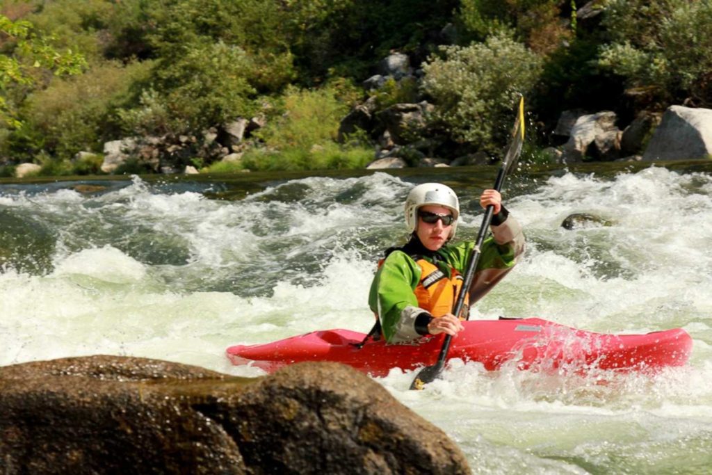
Class I
Length
49.7 mi
Rapids
8
Access Points
Difficulty Classes
I Easy
II Novice
III Intermediate
IV Advanced
V Expert/Extreme
VI Unrunnable
Current Conditions
5-Day Forecast
Whitewater data from
American Whitewater
American Whitewater