2. Twin Falls State Park to 424th Ave SE cul-de-sac
Gauge Conditions
Runnable: 300.0 – 2,500.0 CFS
The gauge is located about 20 miles upstream of the put-in. It is accurate during the summer months, but during and after rain events it reads low.
Data from American Whitewater & USGS
Run Map
Run Time Estimate
Select put-in and take-out to estimate time.
Plan This Trip
See wind-adjusted speed maps, forecast planning, and detailed time estimates.
Sign in to generate an AI timing estimate for this run.
Whitewater timing varies with scouting, portages, and group pace. Use as a planning baseline.
Description
FUN FACT: Convenient beginner whitewater to Seattle.
SEASON: Fall rains and spring snow melt, but can run into mid-summer.
ACCESS: To get to the put-in for this run, take exit 34 off of I-90. Turn south at the bottom of the exit ramp, head 0.5 mile on 468th Ave. SE., then turn left on SE 159th St. (look for the small sign that points to Twin Falls State Park). This turn, which is easy to miss, is just before the bridge across the river. Follow SE 159th St. 0.6 mile to its end at Twin Falls State Park. The put-in itself is easy and very accessible. It's about thirty feet from the parking lot.
Alternate put-in is just before the bridge over the river on 468th Ave SE (47.455285, -121.716553). This skips the first couple of rapids, but if the state park is closed, this is a good alternate.
Alternate take-out is on exit 32. If you are heading west on 90, from the put in, take a left at the exit and drive until you get to the big bridge crossing the river. Park on the side of the road here. This shortens the run by about a mile.
Take-out is at the cul-de-sac at the end of 424th Ave SE in North Bend (47.472584, -121.774568). Go underneath I-90 and park in the large cul-de-sac. When you exit the river, you'll climb up onto the dike, and walk northwest along the path for ~100yds, then follow the short path on the right down to the cul-de-sac.
DESCRIPTION:
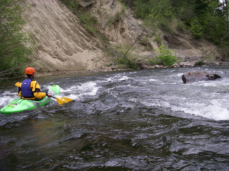
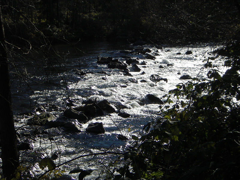
This is a class II/II+ run depending on levels, but stay alert for wood hazards. Be especially careful in the section below the 468th Ave bridge. Stay left at the first island and look for wood before going into any channels. There is a mile or so of very active riverbed that changes annually.
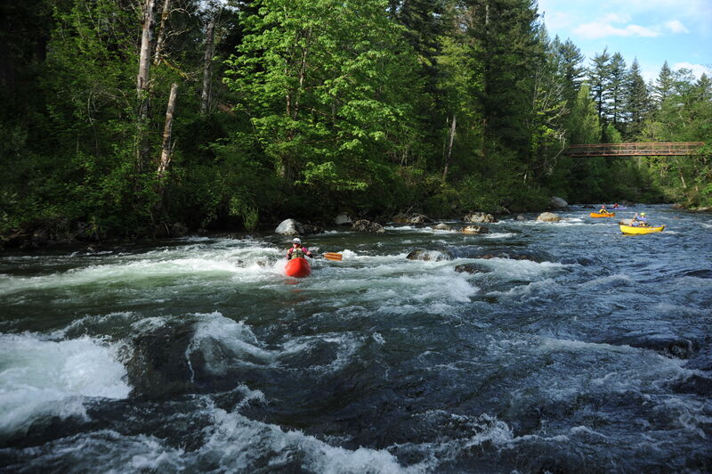
The highlight of the trip is in Waskowitz Canyon, which can become a single long class II+ boulder slalom at higher flows. You will pass under a footbridge, pass the camp (on river right), and then enter an area with houses on river left. After you go under the next bridge, houses begin to appear on river right, and the canyon will open up. After a small rapid that makes a sharp left turn, there is a long pool and a weir. There are several runnable slots in the weir, mostly left of center. The easiest portage is on the far left (the old portage on the right has become overgrown with trees). The main hazard here is not the rapid, but logs that get caught on the weir during high water events.
For the 424th Ave SE take-out, look for a sandy beach and a steep climb up to the top of the dike when you start to see cars on I-90. Lots of blackberries to avoid, but there is a path.
If you really want to add spice to this run, instead of putting in at the parking lot hike the trail towards the falls, upstream, about a half mile or so. You will come to an area where the trail starts to ascend uphill. Right before this is a small trail that leads down to the river into Percolater Pool. This pool is at the bottom of the second of two class V drops, and makes a great put-in for the lower run, which is class III boogy water to the parking lot, where it calms down to class II. Upstream of this section the river drops 454' over a series of waterfalls.
It is also possible to extend this run. There are access points at two bridges in North Bend, and it is even possible to continue the run to the confluence with the Middle Fork. As you near the confluence, the gradient slackens significantly. In some years, this results in unpassable logjams, so be careful!
for additional information see
- Bennett, J. and T. Bennett. 1997. A guide to the whitewater rivers of Washington, second edition. Swiftwater Publishing. Portland, OR.
Rapids in this Run (4)
Difficulty
Class II+
Length
4.5 mi
Gradient
31 ft/mi
Rapids
4
Access Points
Difficulty Classes
I Easy
II Novice
III Intermediate
IV Advanced
V Expert/Extreme
VI Unrunnable
Current Conditions
5-Day Forecast
Whitewater data from
American Whitewater
American Whitewater