2. Walden Ridge to Soddy-Daisy
Gauge Conditions
Runnable: ? – ? CFS
Approximate reading: This gauge is 6.2 miles away on North Chickamauga Creek. Use as a general reference only.
Data from American Whitewater & USGS
Run Map
Description
There are a couple of put-in options for North Chick. The easiest run of these is to put-in on North Chick. The second option would be to put-in on Cain Creek. Putting in on Cain Creek adds quite a bit of Class 4 and 5 whitewater but eliminates a waterfall on the Chick side. For the hardcore there is the option of putting in on Cooper Creek, but be warned that if Cooper is running you're gonna be in for a high water adventure on Chick.
Finding the put-in on either side is a bit of an adventure. Its best to go with someone who knows the trail system. For both the Chick and the Cain Creek sides you're going to be in for a least a 30 minute walk to the river. Its worth it.
Put-In Directions:
_From Ted Hayes_
Heres the beta.
Old 27 S (Dayton Pike)
Left @ Falling Water
Go up Roberts Mill
Bear Left @ Sawyer
Right @ Corral
Right @ Grey Frier
Dead end Street.
**\\* No Public Parking \*
Ask permission to park, locals were boater friendly. Follow the drainage ditch off to the left, it goes straight to the creek.
From Terry Smith 2004-01-10 14:09:00
When the North Chick Gauge is at 2.8 you can put in at Hixson Springs Creek along the powerline in the state natural area and paddle down to North Chick. This will put you in right above Mystery Falls. The hike to Hixson Springs Creek is about 30 min. Park at the new parking area for the natural area on Hixson Springs Road. At levels below 2.8 you will probably have to walk down the creek bed to North Chick but it is not far. This access keeps you off private land and allows you to cut out the flat water.
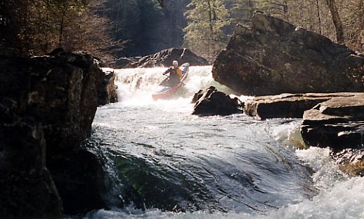
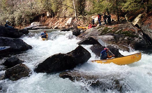
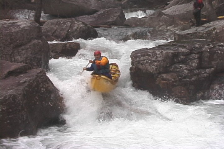
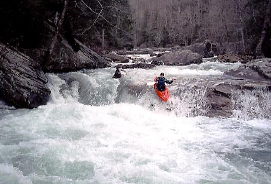
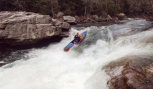
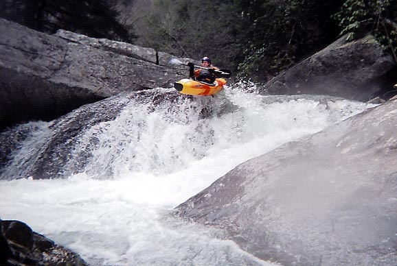
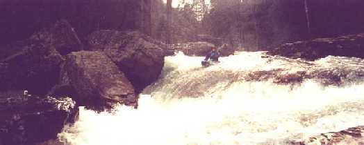
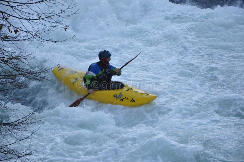
Major drops include Mystery Falls, North Chick Falls, Cyclops, Diana's Ledge, V-Slot, and the Bowling Alley.
North Chickamauga Creek could most easily be compared to the Upper Yock. Its just three times longer, and has some much larger vertical drops.
The take-out is in the Bowater Pocket Wilderness area off of Montlake Road. For detailed directions to the put-in check with Rock/Creek Down Under in Chattanooga. Rock/Creek is the outfitting shop for local creekers.
A note on the maps
As of this writing (Sept 2001) the topozone maps are not working in the 1:100,000 size. When you call up the page it will be black. Not to worry, just click on 1:50,000 or 1:25,000 and the maps work fine.
North Chickamauga Creek Conservancy.
NOTE: NONE OF THESE DISTANCES ARE ACCURATE. IT'S A LONG RUN AND I'M TOO LAZY TO TRY TO FIGURE OUT WHERE THEY ARE ON THE TOPO.**
Rapids in this Run (7)
Waterfalls (2)
Hazards & Portages (1)
Caution: The following locations may require scouting or portaging. Always check current conditions.
Difficulty
Class IV-V
Length
10.5 mi
Gradient
90 ft/mi
Rapids
7
1 Hazard
Access Points
Difficulty Classes
I Easy
II Novice
III Intermediate
IV Advanced
V Expert/Extreme
VI Unrunnable
Current Conditions
5-Day Forecast
Whitewater data from
American Whitewater
American Whitewater