2. Whipkey Dam to Humbert Covered Bridge Nr. Ursina
Gauge Conditions
Data from American Whitewater & USGS
Run Map
Run Time Estimate
Select put-in and take-out to estimate time.
Plan This Trip
See wind-adjusted speed maps, forecast planning, and detailed time estimates.
Sign in to generate an AI timing estimate for this run.
Whitewater timing varies with scouting, portages, and group pace. Use as a planning baseline.
Description
Lat/Longitude data are approximate, from TopoZone. Ed Evangelidi shared: This is a scenery creek. Not only does it have flora and fauna but it is loaded with covered bridges. The rapids have pretenses towards Cl 3 in spots but are all fairly straight-forward. The creek quickly becomes wide enough to shrug off river-wide strainers except for a long stretch in the lower part where the creek braids and braids again. Pick the correct channels and have fun. Pick the wrong channel and you might have to carry around a tree.
Tony Allred Jr -- Below:
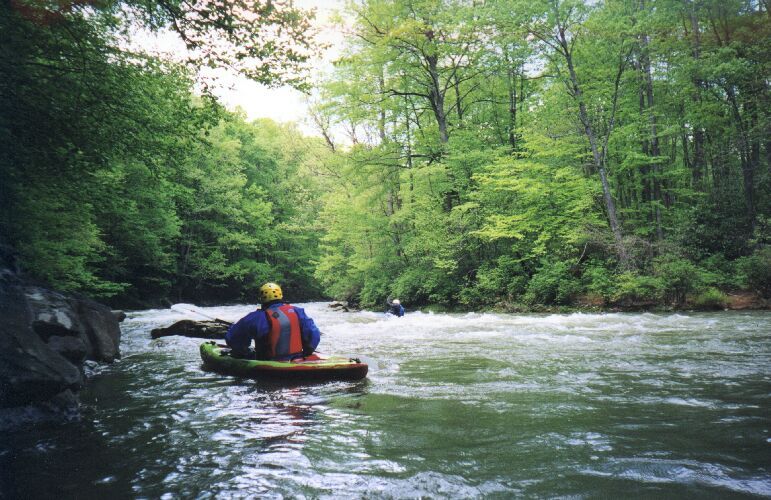
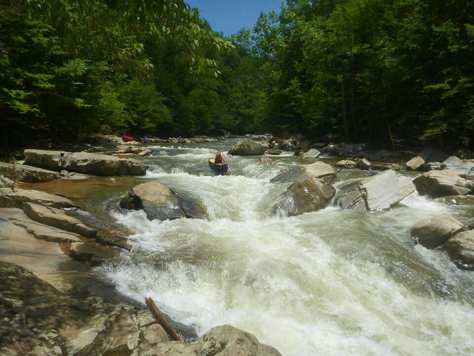
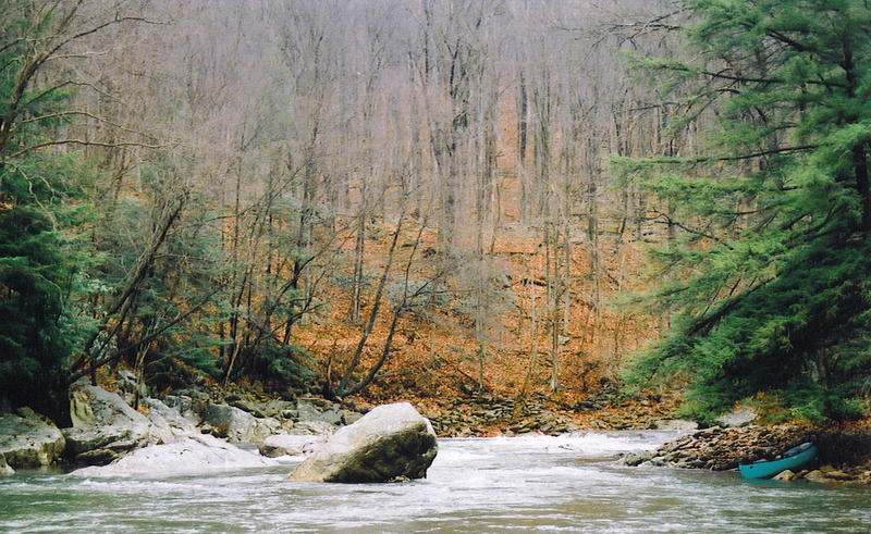
Starting at Whipkey Dam Road, the river starts out easy with some small ledges to practice eddy turns and peel outs. The middle part of the run picks up some gradient and there are three (or is it four?) Class 3 rapids at medium and high levels, all on river left turns. The gradient then flattens out and enters a serpentine section where it braids and braids again (miserable in low water, but very pretty at medium or high levels). At the bottom of the serpentine section, the braids come together and go under a foot bridge. This can be a short take-out at a Pennsylvania fish and boat commission access point on river left at the foot bridge. Or you can continue another couple of miles down to another access at the Humbert Covered Bridge on river left just below the bridge.
The river is scrapey below 2.2 (roughly 550-570 cfs) through the serpentine section. Above 2,000 cfs in the middle section, stable eddies to assemble a group after a swim are hard to find.
Easy with scrapey small channels in serpentine section: 500 - 700 cfs; Low Intermediate: 700 - 1000 cfs; Intermediate: 1000 - 1,500 cfs; High Intermediate: 1,500 - 2,000 cfs; Advanced with pourovers, big holes, and squirrely eddies and boils: above 2,000 cfs.
Rapids in this Run (3)
Difficulty
Class II(III)
Length
9.9 mi
Rapids
3
Access Points
Difficulty Classes
I Easy
II Novice
III Intermediate
IV Advanced
V Expert/Extreme
VI Unrunnable
Current Conditions
5-Day Forecast
Whitewater data from
American Whitewater
American Whitewater