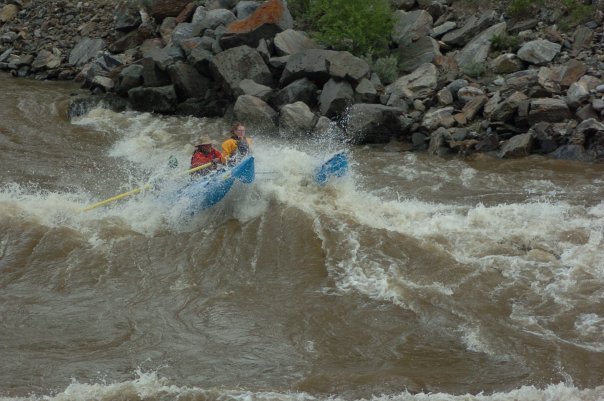
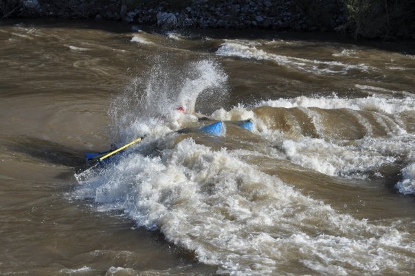
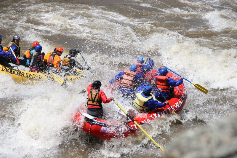
2. Yankee Jim to Carbella (Yankee Jim Canyon)
Gauge Conditions
Runnable: 500.0 – 25,000.0 CFS
Flow range for best boatability uncertain. Please help your fellow boaters with a comment or report.
Data from American Whitewater & USGS
Run Map
Description
Put In: Yankee Jim River Access and Picnic Area, Custer Gallatin National Forest
Take Out: Carbella River Access and Campground, Custer Gallatin National Forest
The put-in and take-out points have launch ramps and unmarked parking areas.
The Yankee Jim River Access may be closed by the Forest Service during periods of high spring runoff (~30,000CFS).
This river has characteristics of a Class IV run at high water. Moderate to low flows make rapids closer to Class III.
Lat/longitude coords are approximate, from TopoZone.
Rapids in this Run (4)
Difficulty
Class III-IV
Length
5.4 mi
Rapids
4
Access Points
Difficulty Classes
I Easy
II Novice
III Intermediate
IV Advanced
V Expert/Extreme
VI Unrunnable
Current Conditions
5-Day Forecast
Whitewater data from
American Whitewater
American Whitewater