220th St.N to 190th St.N (5.66 miles)
Gauge Conditions
Runnable: 250.0 – 2,000.0 CFS
Too low for any real whitewater. (Parts of creek may be paddled, but gradient will be scrapey.)
Data from American Whitewater & USGS
Run Map
Run Time Estimate
Select put-in and take-out to estimate time.
Plan This Trip
See wind-adjusted speed maps, forecast planning, and detailed time estimates.
Sign in to generate an AI timing estimate for this run.
Whitewater timing varies with scouting, portages, and group pace. Use as a planning baseline.
Description
Quick Facts:
Location: NW Minnesota, approximately 4.5 miles WNW from Ulen, MN.
Shuttle Length: 4.2 miles / ~8 minutes _Click here for shuttle route_
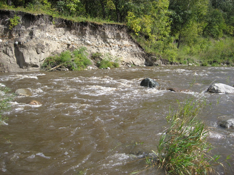
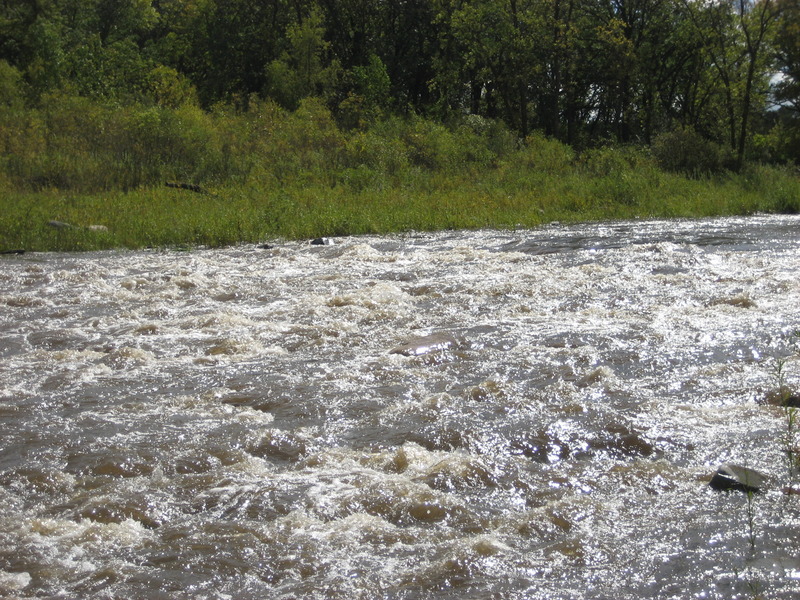
Character: nice gradient and a rock and boulder riverbed
Drainage area at gauge (take-out): 190 square miles.
Put-in elevation is approximately 1040'.
Take-out elevation is approximately 940'.
Thus total elevation change is approximately 100'.
Information (lat, lng, elev, total drop, run length, shuttle length) adjusted and/or verified from best manual extrapolation of online data (via maps.google.com, distance measuring tool, and other resources). 2010.08.25
The resolution on Google Maps for this area is pretty good. Go to the 'Map' tab, click 'Topo' and change to 'Satellite', click-drag to center on the put-in, zoom in to near to maximum resolution available, and do a 'virtual walk' down this reach! (You will doubtless notice how the mapping of the run fails to accurately follow the satellite image of the present streambed!)
General Overview
The run has nice gradient, and a rock and boulder riverbed.
Use Extreme caution! There are six river wide single strand wires used for pastures on this run. They are hard to see! (Often what will help is Instead of looking for the wire, be on the lookout for the fenceposts! They should be easier to see.)
Rapids in this Run (2)
Difficulty
Class I-II
Length
7.0 mi
Gradient
18 ft/mi
Rapids
2
Access Points
Shuttle Info
Shuttle directions (take-out to put-in for this reach of S.Br.Wild Rice River) appear below.
For drive time, distance, and directions from any other location to the put-in for this reach,
enter (into the text box) your location (either zipcode, city state, address city state, or lat lng coordinates).
Difficulty Classes
I Easy
II Novice
III Intermediate
IV Advanced
V Expert/Extreme
VI Unrunnable
Current Conditions
5-Day Forecast
Whitewater data from
American Whitewater
American Whitewater