3) Castle Crags to Sims Road
Gauge Conditions
Runnable: ? – ? CFS
Approximate reading: This gauge is 3.1 miles away on Sacramento. Use as a general reference only.
Data from American Whitewater & USGS
CDEC Flow Data California
Data from California Data Exchange Center (CDEC)
Run Map
Description
What other river up this way gives you rearview mirror views of lovely mountains, fun Class II/III rapids, and clear, beautiful water? This is a gorgeous section of water, is easy to access, and the portage around the Class IV Mears Creek Falls (Triple Drop) is easy, right before Sims Flat Campground, where you can camp (FYI, even when they're closed in the winter). Be respectful.
You can pick your daytrip between here and Pollard Flat or further down to Delta. Expect train traffic (and possibly highway traffic, depending on where you are) though – it can feel remote but technically it's not. Lots of public land on both sides of the river, on and off, though.
Dunsmuir is a cool little river town (not as beloved by some locals, though) and offers some accommodations, food, and other resources – the town of Mt. Shasta is the 'big city' round here a bit further up the highway.
Other resources:
- CACreeks
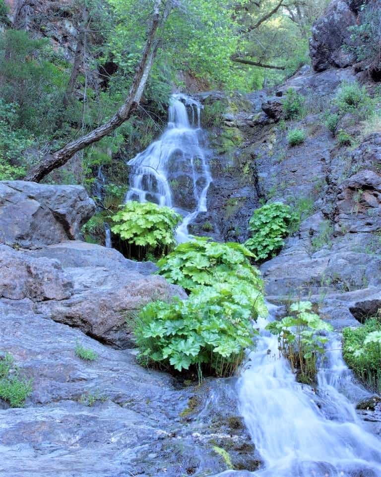
Waterfalls (1)
Difficulty
Class II-III(IV)
Length
21.0 mi
Gradient
43 ft/mi
Rapids
0
Access Points
Difficulty Classes
I Easy
II Novice
III Intermediate
IV Advanced
V Expert/Extreme
VI Unrunnable
Current Conditions
5-Day Forecast
Whitewater data from
American Whitewater
American Whitewater