3. Colfax-Iowa Hill Road to Yankee Jims Road Wild
Gauge Conditions
Data from American Whitewater & USGS
CDEC Flow Data California
Data from California Data Exchange Center (CDEC)
Run Map
Put-in
Take-out
Rapids/Hazards
Wild
Description
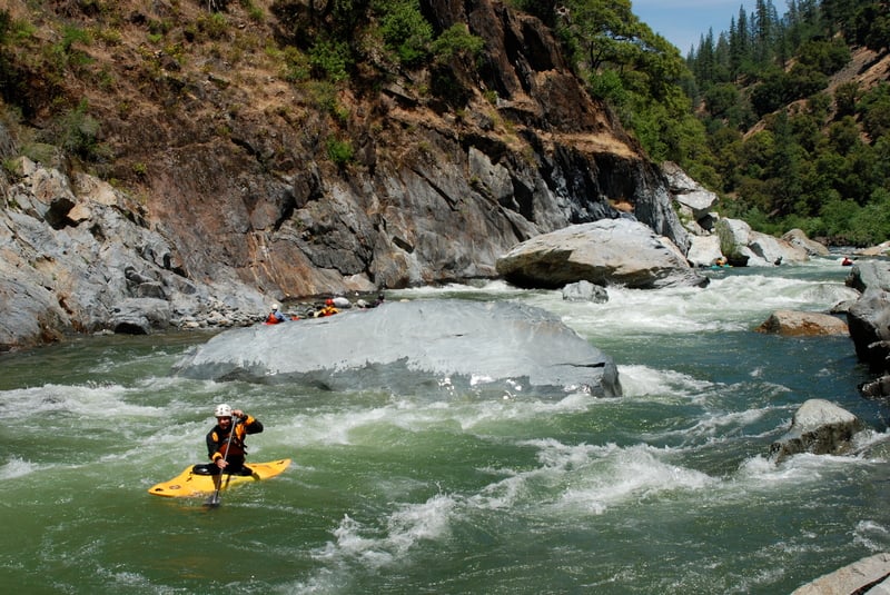
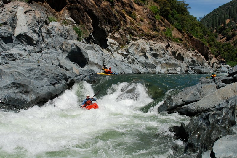
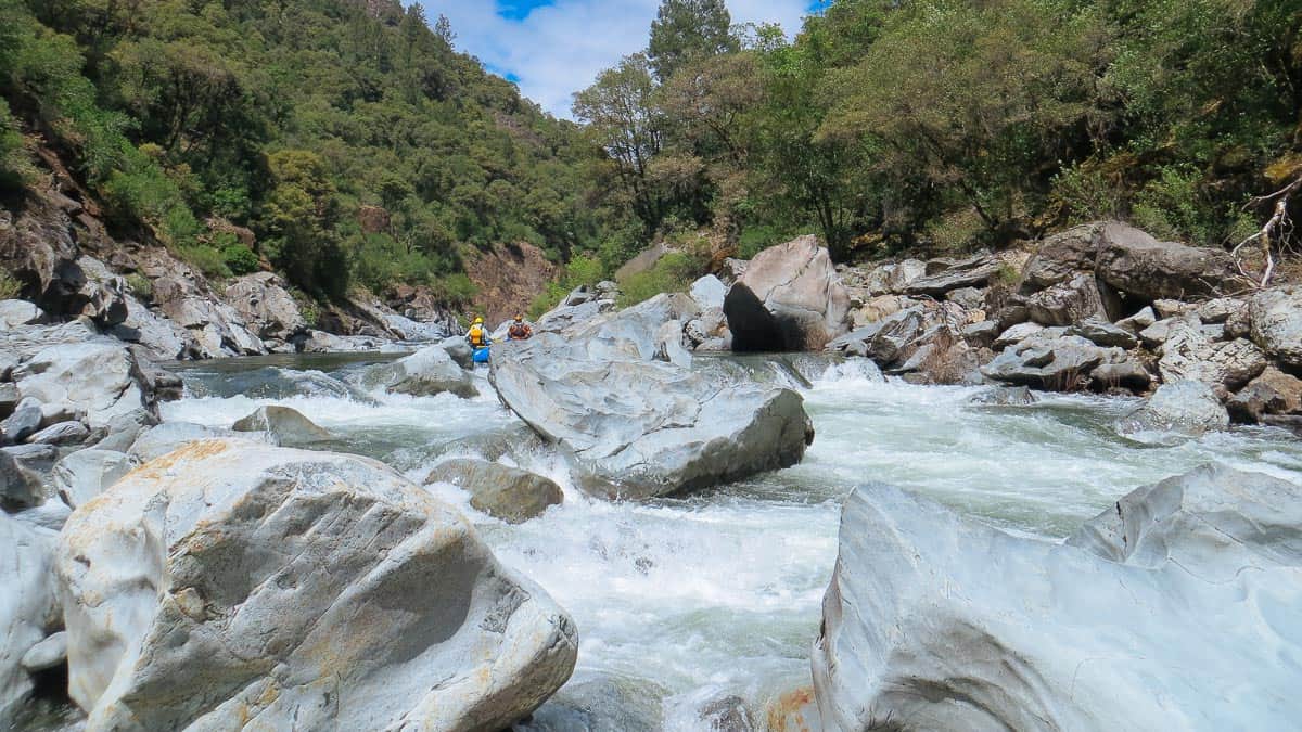
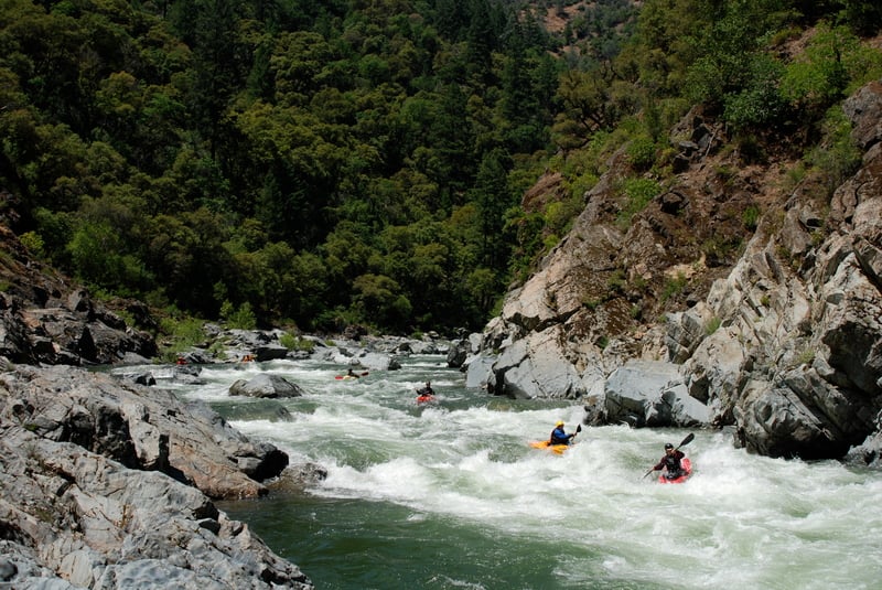
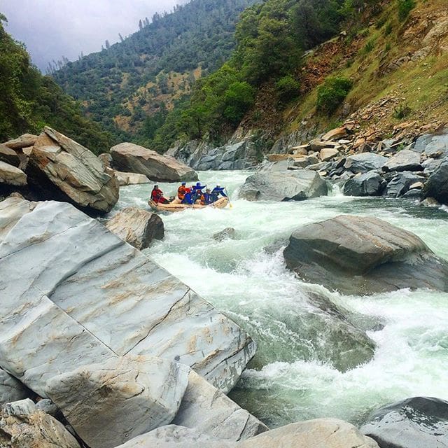
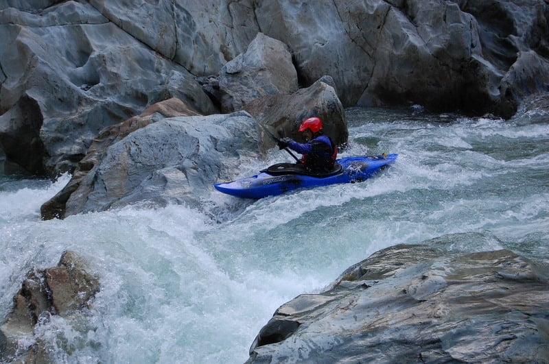
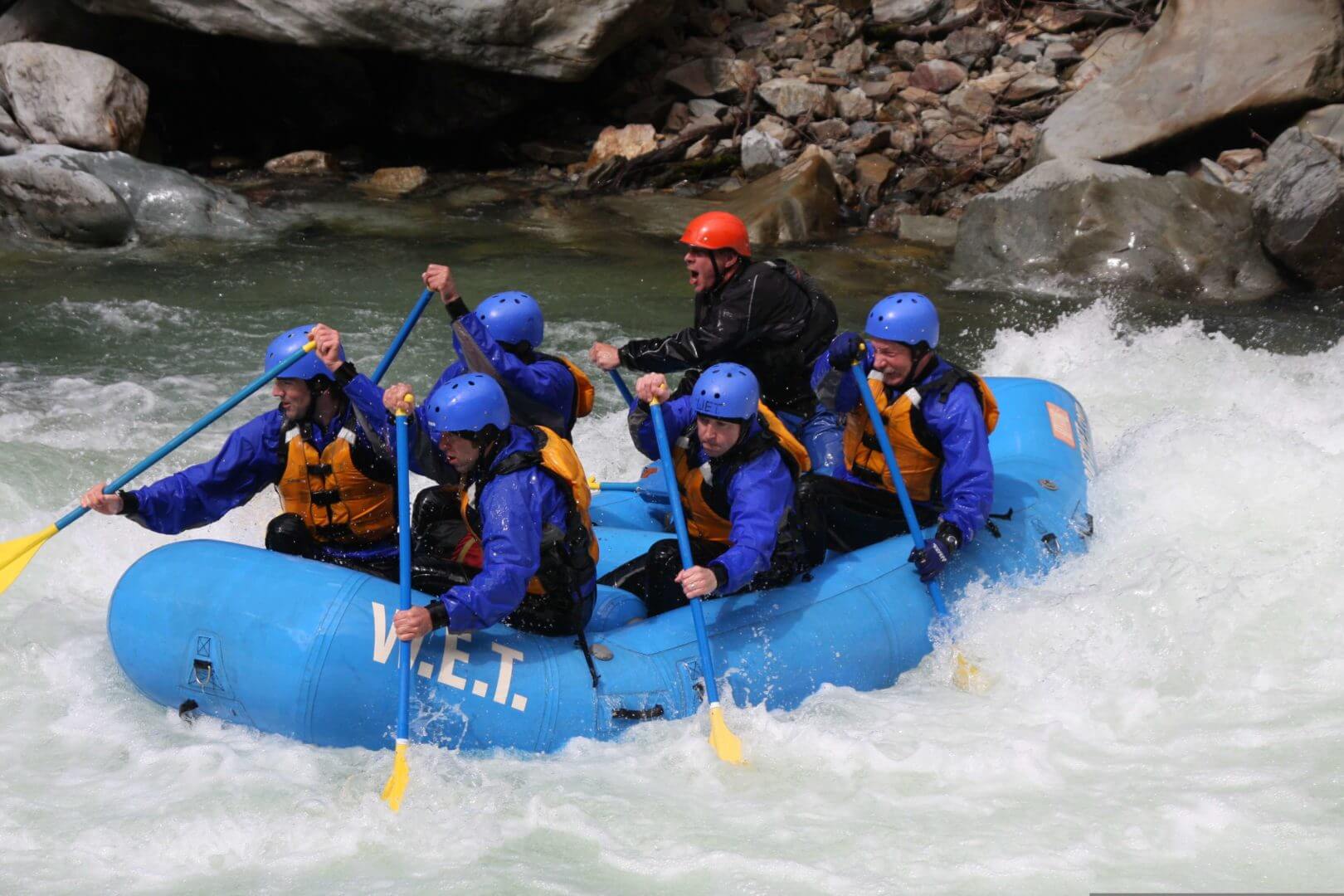
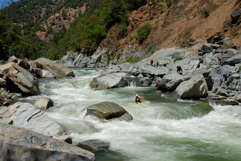
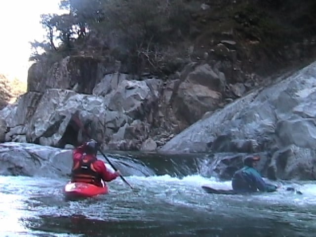
The North Fork Chamberlain run is a very popular run due to it's proximity to Sacramento, and great class IV white water. At 4.9 miles, it's a fairly short run, but it is stacked with rapids and flows typically December through June in an average year. If you are looking for fun class IV in the winter and sping, this run is perfect. It only takes a little rain to bring the levels up to a boatable level. 300-400 cfs is the bare-bones minimum, 1000-2500 the sweet spot for most boaters, and above 2500 increasingly pushy and difficult. It has been run as high as 20,000+cfs but this is the territory of big water class V boaters only. Be warned. Although this isn't a super hard class IV stretch, it has it's fair share of undercuts, and pin rocks and was the scene of several bad rafting accidents some years ago when rapids were in a somewhat different configuration than now. Due to the fact that it's run so often, it can be easy to underestimate the dangers. Boaters who use this run to jump from class III to IV, should be sure to go with an experienced group of boaters, and to scout and set up proper safety where needed.
For more information, also check out CA Creeks, and Wet State, Holbeck and Stanley, Cassidy and Calhoun.
Camping is now permited in the following areas on the North Fork American:
· 2000’ downstream of Iowa Hill Bridge to 1000’ upstream of Yankee Jim Bridge
· 2000’ downstream of Ponderosa Bridge to 1 mile downstream of Codfish Creek
A permit is required. These can be picked up at the Auburn State Recreation Area Office.
Contact Auburn State Recreation Area Whitewater Recreation Office: (530) 823-4162
CA State Parks Gold Fields District Office: (916) 988-0205

Difficulty
Class IV
Length
4.8 mi
Gradient
41 ft/mi
Rapids
9
Access Points
Shuttle Info
**Put-in:** Colfax-Iowa Hill Rd.
**Take-out:** Colfax-Foresthill Rd. (Yankee Jim's)
The shuttle distance is just over 9 miles, but will take between 20 and 30 minutes to drive each way.
Both putin and takeout can be approached from either side of the river, but approach from the North (river right) side is far easier. Parties often meet at Weimar Crossroads Park and Ride car park or the Subway parking lot adjacent to I-80 in Colfax to sort gear and optimze shuttle. Parking can be limited at takeout on busy weekends so avoid taking more vehicles than needed. Yankee Jims road down to the takeout is dirt but in good condition and high clearance is not required. The Iowa Hill road to putin is asphalt all the way and there is plenty parking and good camping by the river.
Difficulty Classes
I Easy
II Novice
III Intermediate
IV Advanced
V Expert/Extreme
VI Unrunnable
Current Conditions
5-Day Forecast
Whitewater data from
American Whitewater
American Whitewater