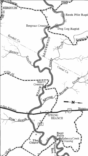
3. Farm Road 3351 to Rebecca Creek Crossing
Gauge Conditions
Runnable: 200.0 – 10,000.0 CFS
Upper limit for best boatability uncertain. Please help your fellow boaters with a comment or report.
Runnable: 200.0 – 10,000.0 CFS
Upper limit for best boatability uncertain. Please help your fellow boaters with a comment or report.
Data from American Whitewater & USGS
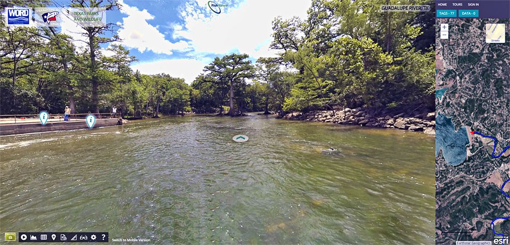
Run Map
Run Time Estimate
Select put-in and take-out to estimate time.
Plan This Trip
See wind-adjusted speed maps, forecast planning, and detailed time estimates.
Sign in to generate an AI timing estimate for this run.
Whitewater timing varies with scouting, portages, and group pace. Use as a planning baseline.
Description
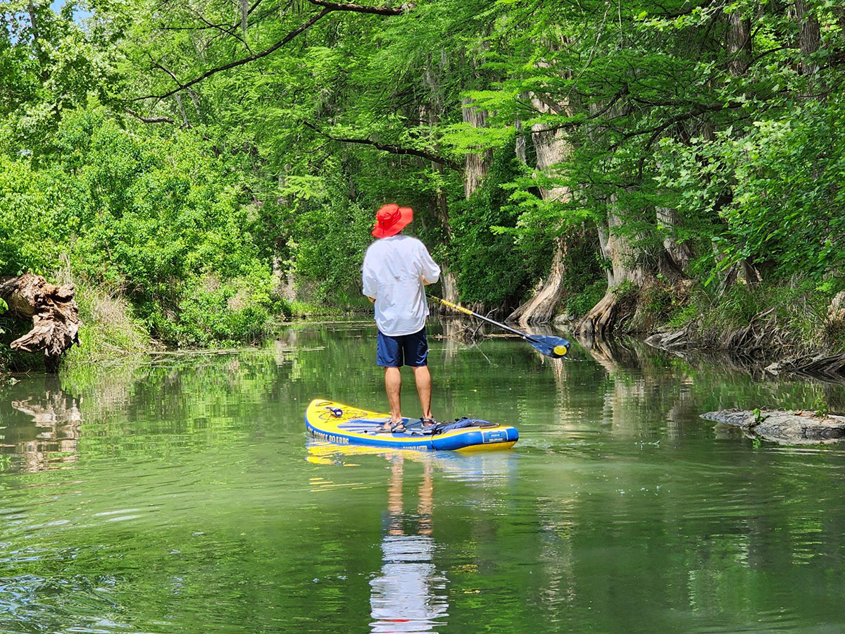
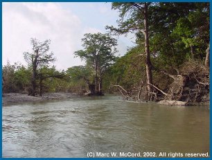
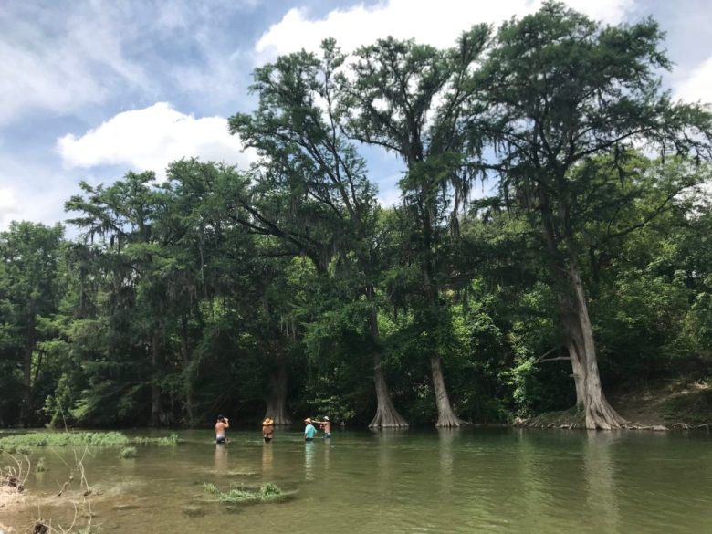
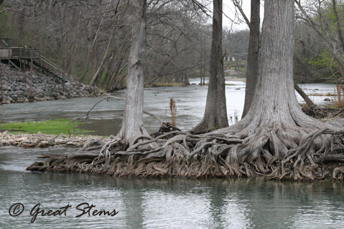
The Upper Guadalupe is a relatively beginner-friendly stretch of river popular with canoeists and recreational kayakers looking to paddle in a more secluded setting, free of the wall-to-wall tubers and private homes that adorn the Lower Guadalupe. Except in runoff events, during which the river can be very silty, it is usually fed by spring flow and thus runs clean. Except during extreme droughts, the Upper Guadalupe generally maintains a reasonable base flow.
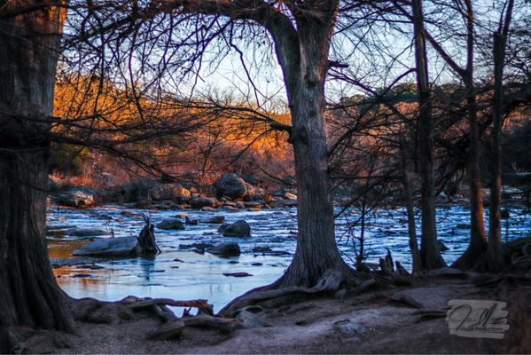
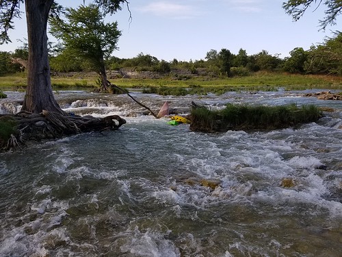
The Upper Guad does not have a lot of gradient, so there are only a handful of named rapids on this entire 25-mile stretch of river. Rapids are typically short and are separated by pools sometimes miles long. Thus, whitewater boaters tend to avoid the Upper Guad unless it is flowing thousands of cfs, and they tend to prefer the stretch below U.S. 281, because it has the largest rapids (including Mueller Falls and Rust Falls) and the least flat water.
With the exception of the afore-mentioned falls, most of the rapids are basic Class I-II rock gardens with little consequence.
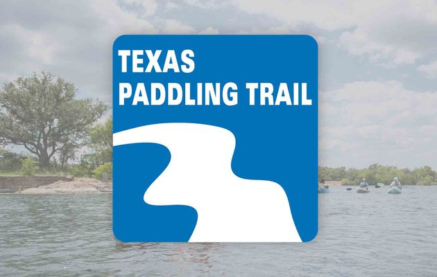
The most popular day trips are from Bergheim (FM 3351) to Guadalupe River State Park (7.8 miles) and from Nichol's Landing to Rebecca Creek Rd. (9.8 miles, often shortened to 6 miles by putting in at U.S. 281.) The latter stretch has been designated a Texas Paddling Trail by the Texas Parks & Wildlife Dept.
For more information, see Texas Whitewater, 2nd Edition.
Distances and gradient measured using GIS tools in 2015.
Rapids in this Run (13)
 Rapid
II
Rapid
II
Rock Pile
 Rapid
II
Rapid
II
Dog Leg
 Rapid
Rapid
Guadalupe River State Park
 Rapid
II
Rapid
II
Unnamed Rapid
 Rapid
Rapid
Spring Branch Road (Specht's Crossing)
 Rapid
Rapid
Nichol's Landing
 Rapid
Rapid
U.S. 281 Bridge
 Rapid
II
Rapid
II
281 Rapid
 Rapid
Rapid
FM 311 Bridge
 Rapid
II+
Rapid
II+
Mueller Falls
 Rapid
II+
Rapid
II+
Rust Falls
Rapid
II
Unnamed Rapid
 Rapid
II
Rapid
II
Rebecca Creek Rapid
Hazards & Portages (2)
Caution: The following locations may require scouting or portaging. Always check current conditions.

Difficulty
Class II
Length
22.6 mi
Gradient
6 ft/mi
Rapids
13
2 Hazards
Access Points
Difficulty Classes
I Easy
II Novice
III Intermediate
IV Advanced
V Expert/Extreme
VI Unrunnable
Current Conditions
5-Day Forecast
Whitewater data from
American Whitewater
American Whitewater