3. Highway 19E bridge @ Hampton High School to Covered Bridge Park - Elizabethton
Gauge Conditions
Runnable: 300.0 – 2,000.0 CFS
Data from American Whitewater & USGS
Run Map
Interactive run map
Loads as you approach this section.
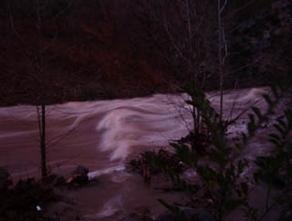
Description
Lat/Longitude data are _very_ approximate.
Playspots (1)
Difficulty
Class II-III
Length
7.5 mi
Gradient
35 ft/mi
max 80
Rapids
0
Access Points
Difficulty Classes
I Easy
II Novice
III Intermediate
IV Advanced
V Expert/Extreme
VI Unrunnable
Current Conditions
5-Day Forecast
Whitewater data from
American Whitewater
American Whitewater