3. Lower Kalama Falls to Modrow Road
Gauge Conditions
Runnable: ? – ? CFS
Approximate reading: This gauge is 9.4 miles away on Kalama. Use as a general reference only.
Data from American Whitewater & USGS
Run Map
Run Time Estimate
Select put-in and take-out to estimate time.
Plan This Trip
See wind-adjusted speed maps, forecast planning, and detailed time estimates.
Sign in to generate an AI timing estimate for this run.
Whitewater timing varies with scouting, portages, and group pace. Use as a planning baseline.
Description
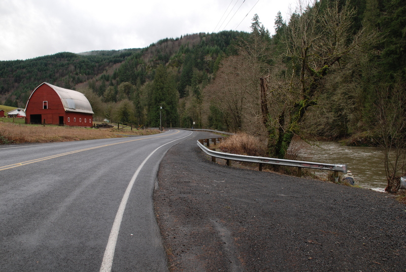
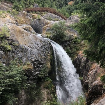
If you are in the area and looking for a quick whitewater fix this is a great little run easily accessible off I-5. For the put-in most use a long-ish fishermen's trail down to the river from a roadside pullout. This trail system accesses the river below Lower Kalama Falls. The first couple rapids rate class III to IV depending on flows. There is a short warmup stretch, then the river bends left and drops into the biggest rapids on the run, so far called 'First Rapid'. It is a long, steep boulder garden best scouted from the fisherman's trail on river right. Second rapid is also steep but shorter. It comes up quickly and is likewise scoutable, this time from river left. After that things taper off with a few more fun rapids until the canyon walls start to peel away. The last steep drop is called WTFalls and it is easily scouted using the rock shelf on river left. The top drop in this rapid can easily be lapped to practice boofing. Once the road comes into view on river right you are soon at the first take-out option which is Red Barn (a big red barn located near the confluence with Indian Creek). The short run that takes out here (~4 miles) is commonly called 'the Red Barn section', though drift boaters call the section downstream to Modrow bridge from it the same.
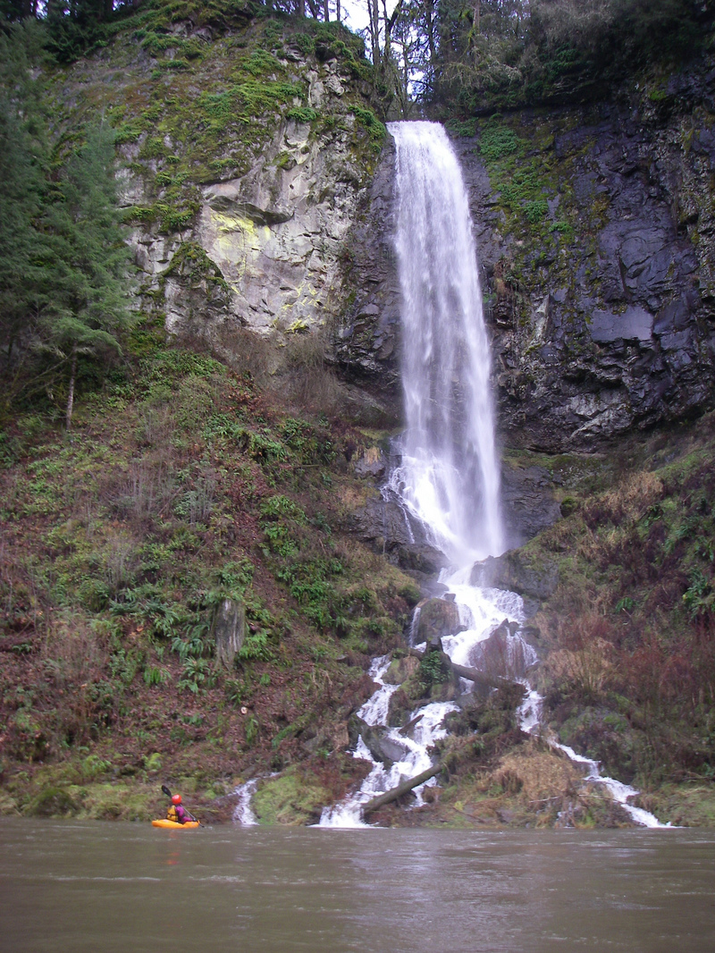
You can take-out here if you're just doing a short trip or want to run another lap. Most whitewater paddlers take out at the Red Barn. Alternatively you can continue downstream as far as Modrow Road. This section is mostly class I/II with a few riffles and headwalls near the start that soon taper off. Marietta Falls is a scenic waterfall that cascades in from river left and you get a great view from the river
The gauge on the Kalama is located here. 500 cfs and up is best, but can be run lower. 400 cfs is still enjoyable, the min is not yet known to AW.
Rapids in this Run (4)
Waterfalls (1)
Hazards & Portages (1)
Caution: The following locations may require scouting or portaging. Always check current conditions.
Difficulty
Class III-IV
Length
7.5 mi
Rapids
4
1 Hazard
Access Points
Shuttle Info
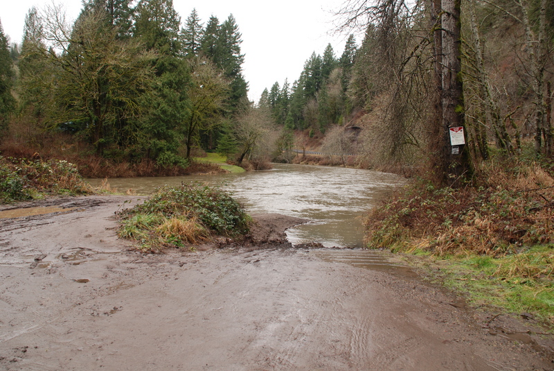
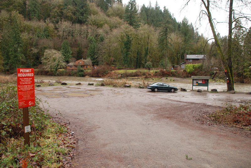
From I-5 take exit 32 east onto Kalama River Road. This road heads up along river right. The first access point you will reach is 1.2 miles from the interstate where Modrow Road turns off and crosses the river. Modrow Bridge Ramp, a WDFW site requiring a vehicle pass, is located upstream river left of the bridge. Continuing upstream to mile 2.9 and 3.4 you will pass Upper Kalama Ramp and Slab Hole Ramp respectively both of which are WDFW sites requiring a pass. The next access is at mile 5.5 and is known as Red Barn for the red barn on the other side of the road. This site does not require an access pass and comes at the end of the gorge making it a popular take-out option for those just doing the short run. Continuing on upstream the river climbs the hill and at mile 8.2 you will pass a pull-out with well-worn fishermen's trail down to the river (it starts right next to the utility pole). This is the best trail down to the river below Lower Kalama Falls. If you continue on up to mile 8.5 this takes you to the turn for the Upper Kalama Salmon Hatchery where you can provide public parking and access but it's upstream of Lower Kalama Falls.
Difficulty Classes
I Easy
II Novice
III Intermediate
IV Advanced
V Expert/Extreme
VI Unrunnable
Current Conditions
5-Day Forecast
Whitewater data from
American Whitewater
American Whitewater