3) Monroe Bridge to Bear Swamp
Gauge Conditions
Runnable: ? – ? CFS
Approximate reading: This gauge is 7.9 miles away on Deerfield. Use as a general reference only.
Data from American Whitewater & USGS
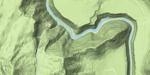
Run Map
Run Time Estimate
Select put-in and take-out to estimate time.
Plan This Trip
See wind-adjusted speed maps, forecast planning, and detailed time estimates.
Sign in to generate an AI timing estimate for this run.
Whitewater timing varies with scouting, portages, and group pace. Use as a planning baseline.
Description
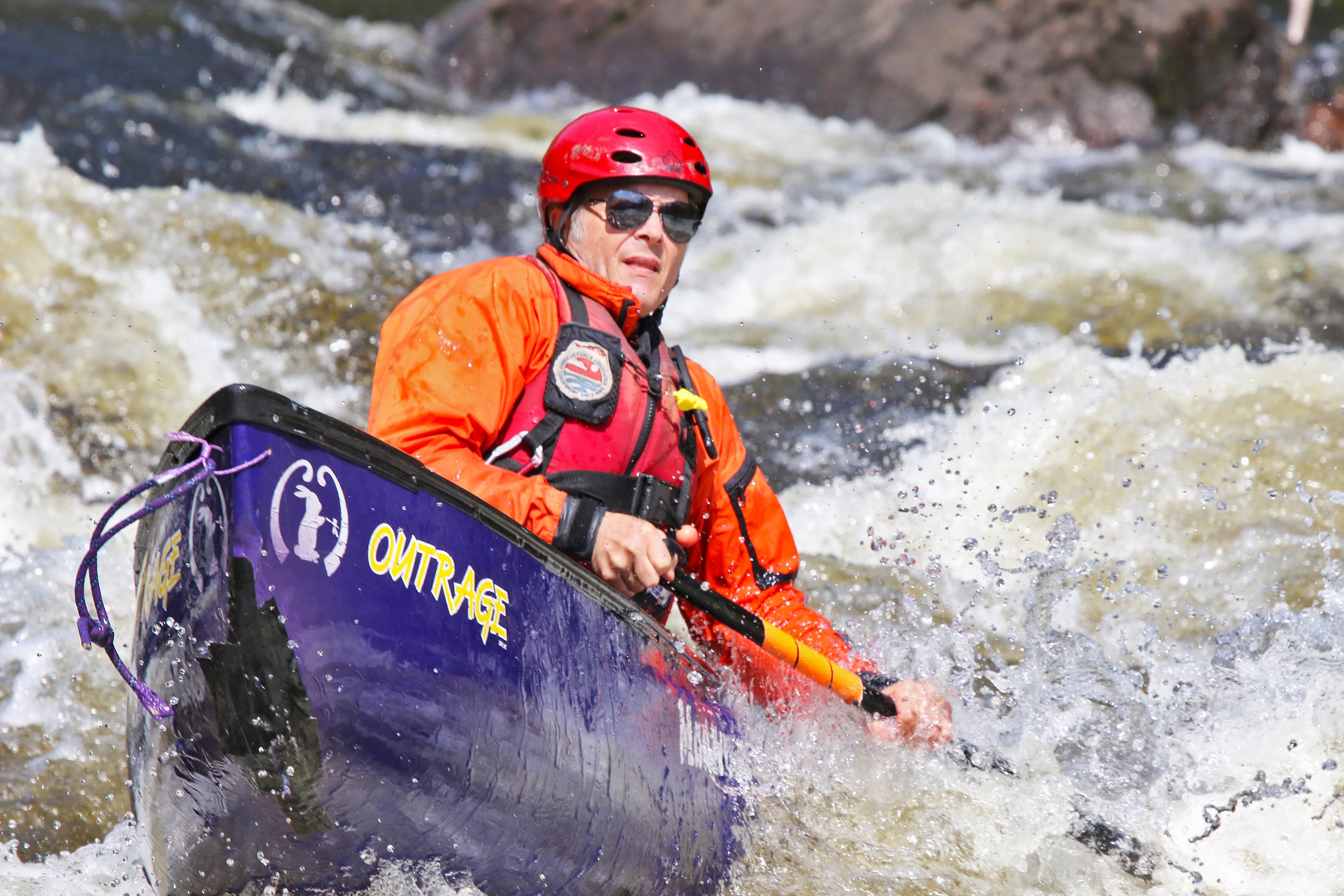
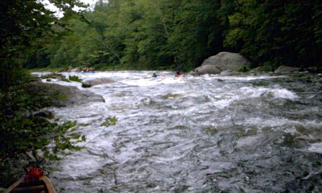
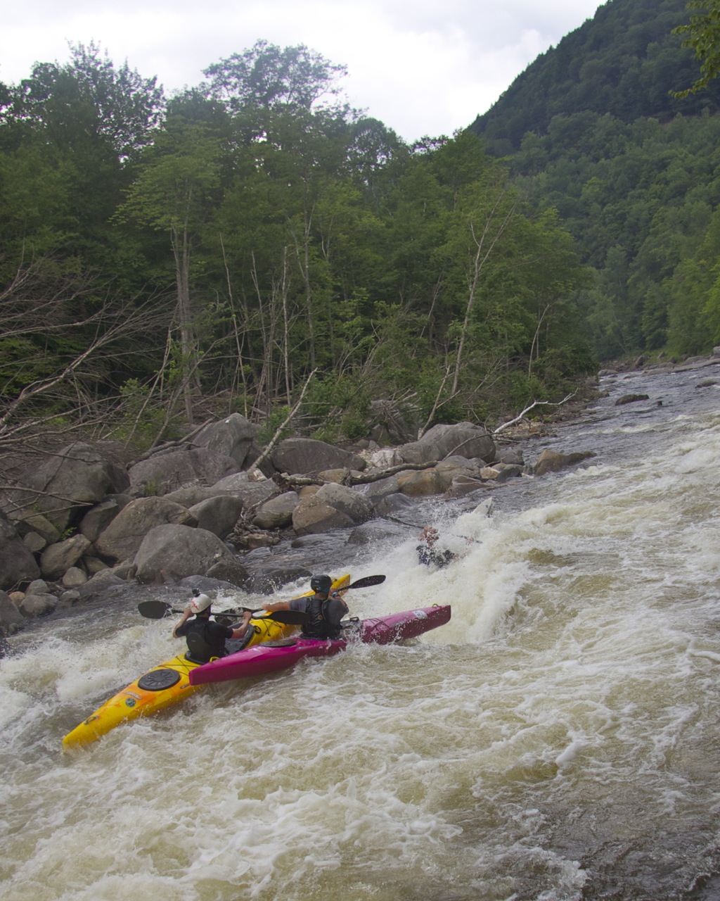
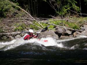
The Monroe Bridge Section of the Deerfield (also known as 'The Dryway') is a popular class III-IV river that can draw a rather sizable crowd on release days. The river generally starts out easy then gets progressively harder as one paddles downstream.
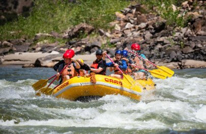
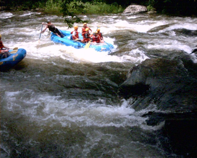
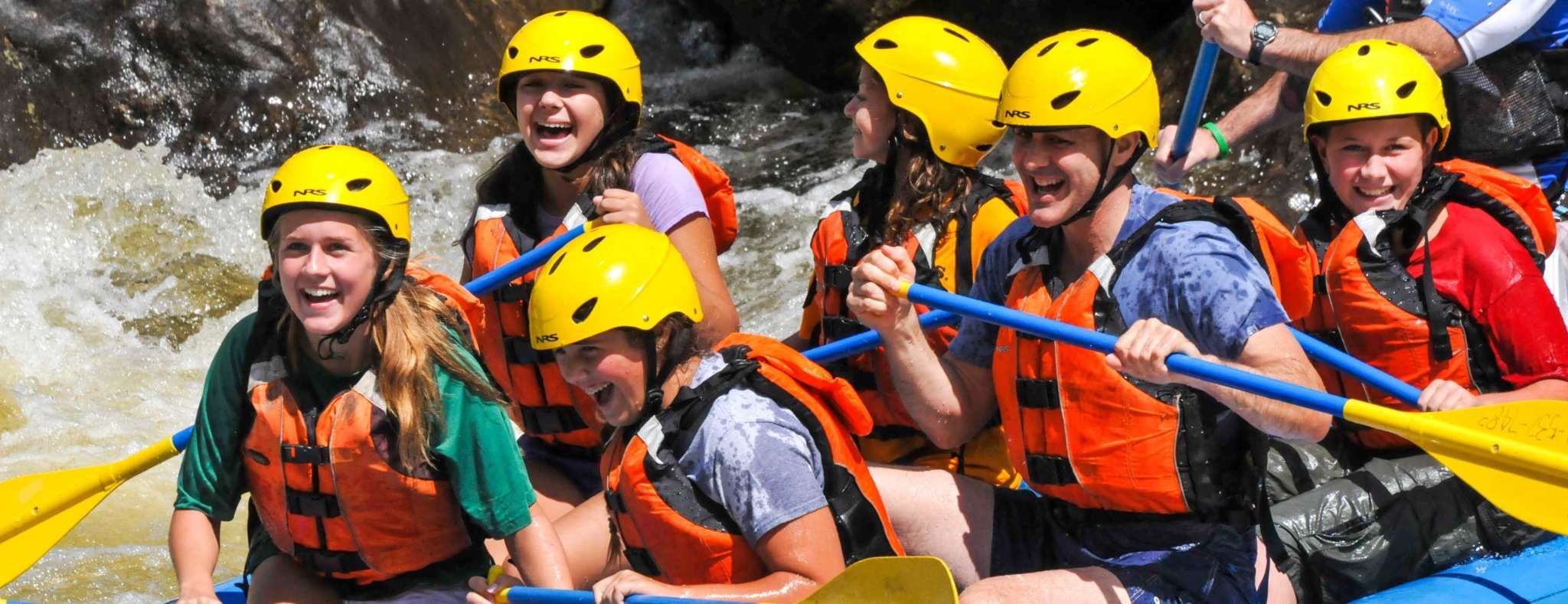
If you are up for the challenge, the Dryway is a premier destination for most northeastern paddlers. If you are not up for class III and IV water, try a raft trip from one of many outfitters in the Charlemont area. For an easier trip, try the Fife Brook section of the Deerfield just a few miles downstream.
The water in this three-mile section of the Deerfield is usually bypassed by a diversion canal from Dam #5 all the way down to the reservoir behind Fife Brook Dam (which is where the nickname 'Dryway' comes from).
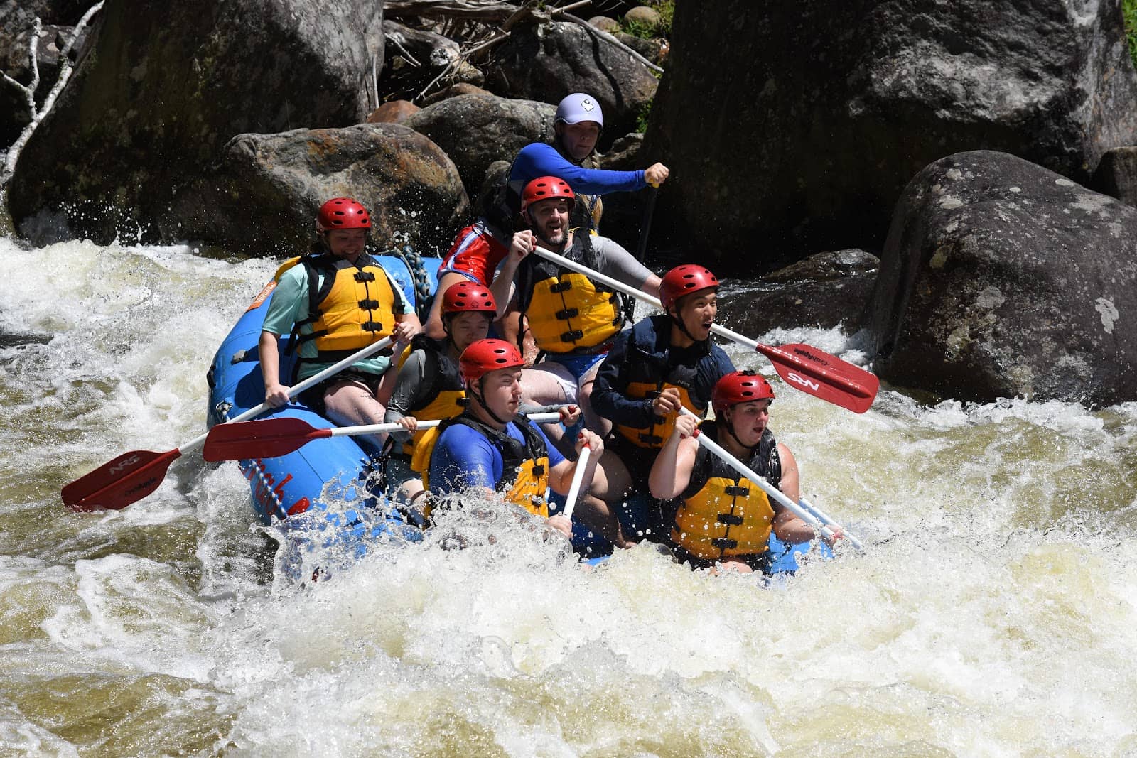
In addition to boating, may raft companies offer guided trips down The Dryway (and its companion easier Fife Brook/Zoar Gap section downstream). These include Zoar Outdoor, Crabapple Whitewater, and Berkshire Outfitters.
## Release History
First scheduled releases began in 1991 with approximately ten per year.
On October 5, 1994, whitewater boaters, fishermen, conservationists, government agencies, and the New England Power Company took a giant step together to protect one of New England's most important watersheds.
NEPCO (Now TransCanada Hydro), a major regional utility based in Westborough, Massachusetts, together with twelve environmental and recreation organizations (including American Whitewater), and government agencies joined in an agreement that commits the company to enhance recreation, fisheries, and conservation along the Deerfield River in western Massachusetts and southern Vermont. The agreement is for 40 years and guarantees 32 release days on the Dryway each Summer.
This was an enormous achievement by paddlers and organizers. It involved dozens of meetings, thousands of letters, and large turnouts of paddlers at last-minute weekday evening hearings in southern Vermont and Western Massachusetts. This was all done at a time when the internet was not established.
For an excellent description of the Dryway by Bruce Lessels go to Zoar Deerfield River Guide. For a description of the different dams and how the releases work go to this writeup by Bruce on the Zoar site.
American Whitewater Deerfield River Festival
Click here for information on the upcoming River Festival.
Campgrounds/Rafting/Paddling Shops & Misc.
Zoar Outdoors: Rafting, paddling shop, whitewater school, camping. Phone: 800-532-7483
Country Aire Campground: Charlemont, MA 01339 Ph: (413) 625-2996
Mohawk Park: P.O. Box 668 Charlemont, MA 01339 Ph: (413) 339-4470
Mohawk Trail State Forest: Rte. 2, Charlemont 413 339-5504
Savoy State Park (413-663-8469)
DAR State Forest (413-268-7098)
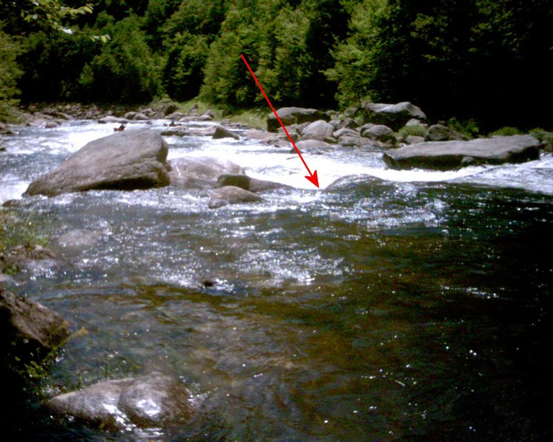
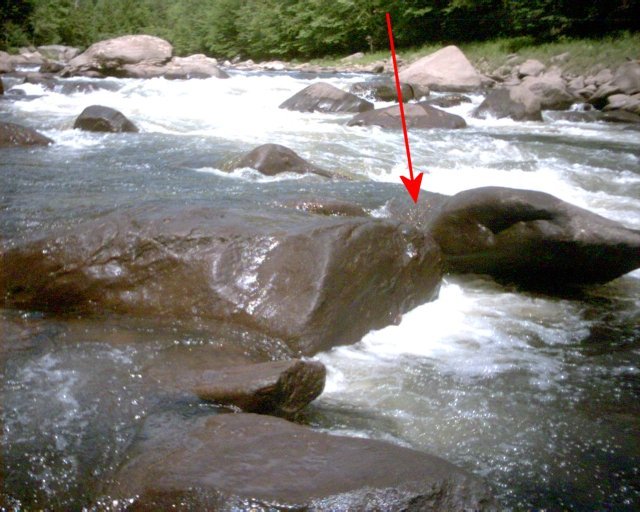
Rapids in this Run (12)


Playspots (1)
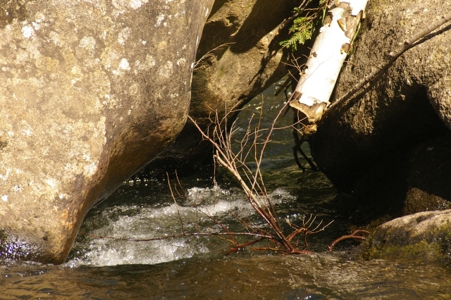
Hazards & Portages (3)
Caution: The following locations may require scouting or portaging. Always check current conditions.
Difficulty
Class III-IV
Length
2.5 mi
Gradient
78 ft/mi
max 200
Rapids
12
3 Hazards
Access Points
Shuttle Info
**Directions to Charlemont Mass via MapQuest from:**
- [Boston, MA](http://tinyurl.com/i17e).
- [Lowell, MA](http://tinyurl.com/i17w).
- [Manchester, NH](http://tinyurl.com/i1cq).
- [Albany, NY](http://tinyurl.com/i187).
- [Hartford, CT](http://tinyurl.com/i18e).
**From Charlemont and Zoar Road intersection to put in**
From the intersection of MA Rte. 2 and Rte. 8a North in the center of Charlemont go West on MA Rte. 2 approximately 2.2 miles to the Zoar Road intersection just before the Rte. 2 bridge crossing over the Deerfield. Turn right onto Zoar Rd. Zoar Road is marked by a green sign (To Rowe Monroe)
2.4 miles from Rte. 2, bear left on River Rd.
Approximately 11 miles from Rte. 2 to Dunbar Brook Picnic Area, this is the take out. Approximately 2 more miles (12.9 cumulative) to the small town of Monroe Bridge, take a right in the center of the town.
Follow the road down to the bridge crossing at the put-in (~1/4 mile)
Note: Boats can be unloaded here near the bridge but vehicles must be moved to the river side of the roadway upstream from the dam. Do not block either the gate above or below the dam as cars may be ticketed or towed. Drive slowly through town, respect private property, and avoid parking in No Parking areas.
Note: When driving to the put-in, it's much quicker to head over the mountains then drive up along the river; however be warned you may wear your brakes out.
**Road Distances along The Dryway**
Road access to the river isn't always simple, especially when the river is down and features aren't as readily recognized. For convienence the table below lists road mileage to several landmarks above various points on the river. Note that starting with Dunbar Brook Rapid through Dragon's Tooth you can climb down (or up) from the parking area above the take-out. Labyrinth is best reached by walking along the river from the take-out. All mileage is measured from the intersection of River and Depot Road in Monroe (up the hill from the dam at the put-in).
**0.00 mi**
Intersection of Depot Road & River Road in Monroe.**0.45 mi**
Old Put In (Path into the woods a few feet downstream from the bypass channel).**0.55 mi**
Roadside pulloff (single car only) - overlook flat area between Upper Play Zone and Split Hair**0.70 mi**
Roadside pulloff (single car only) - overlook bottom of Split Hair Rapid**0.77 mi**
Roadside pulloff (single car only) - Drain pipe under road and rocky climb down to Pinball Rapid**0.90 mi**
Telephone Line Crosses Road - Middle of Rodeo Rapid**1.15 mi**
Power Line Crosses Road - Below Lower Play Zone near Lunch Rock**1.65 mi**
Dunbar Book crosses under road - Walk down along brook to top of Dunbar Brook Rapid**1.70 mi**
#522 River Road (sign) - Entrance to Take-out Parking Area
Difficulty Classes
I Easy
II Novice
III Intermediate
IV Advanced
V Expert/Extreme
VI Unrunnable
Current Conditions
5-Day Forecast
Whitewater data from
American Whitewater
American Whitewater