3) Phoenicia to Boiceville
Gauge Conditions
Runnable: 5.0 – 8.0 FT
Data from American Whitewater & USGS
Run Map
Run Time Estimate
Select put-in and take-out to estimate time.
Plan This Trip
See wind-adjusted speed maps, forecast planning, and detailed time estimates.
Sign in to generate an AI timing estimate for this run.
Whitewater timing varies with scouting, portages, and group pace. Use as a planning baseline.
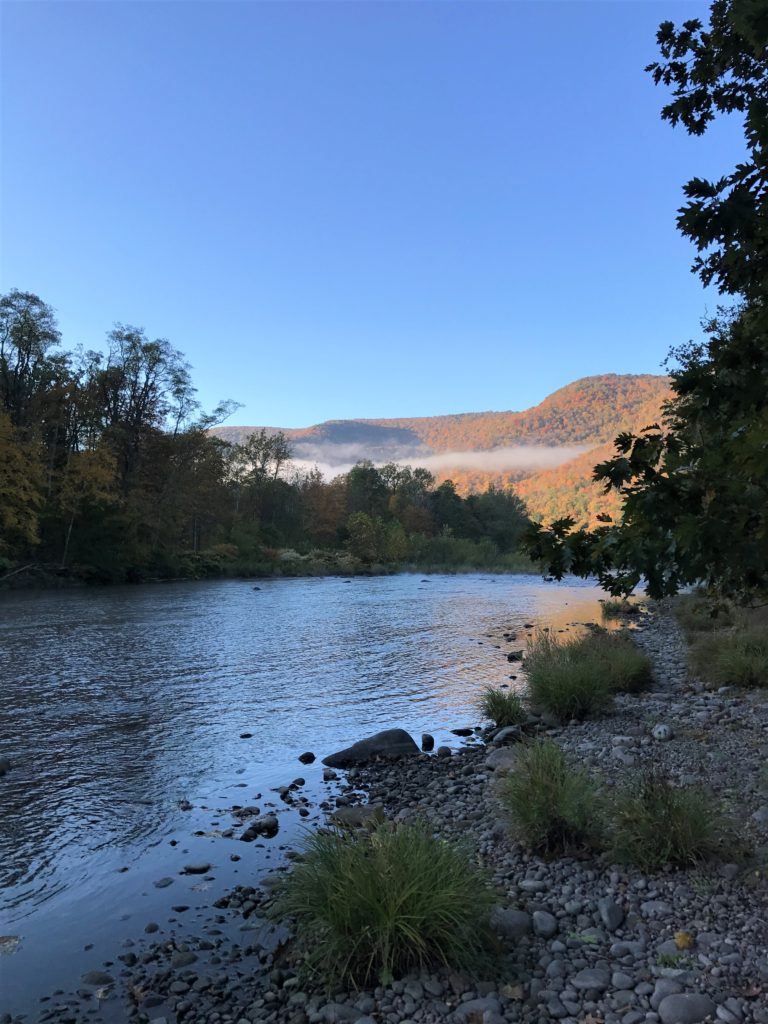
Description
The further down the river you get the easier it gets settling into easy 2 below Sleepy Hollow campground and working its way into class 1+ the route 28 bridge where it leaves the highway.
At release levels there's a lot of flatwater but it's also quite pretty, mostly way from road and with a lot fewer houses.
Stretch ends just above reservoir slack water at Boiceville Supermarket where there's a nice pull out but please park over at the High School on weekends as the supermarket gets pretty crowded.
Rapids in this Run (1)
Difficulty
Class II+
Length
6.3 mi
Rapids
1
Access Points
Difficulty Classes
I Easy
II Novice
III Intermediate
IV Advanced
V Expert/Extreme
VI Unrunnable
Current Conditions
5-Day Forecast
Whitewater data from
American Whitewater
American Whitewater