3) Ponca to Kyles (10.6 miles) Wild
Gauge Conditions
Data from American Whitewater & USGS
Run Map
Put-in
Take-out
Rapids/Hazards
Wild
Scenic
Run Time Estimate
Select put-in and take-out to estimate time.
Plan This Trip
See wind-adjusted speed maps, forecast planning, and detailed time estimates.
Sign in to generate an AI timing estimate for this run.
Whitewater timing varies with scouting, portages, and group pace. Use as a planning baseline.
Description
Check out information a the National Park Service website for Buffalo National River.
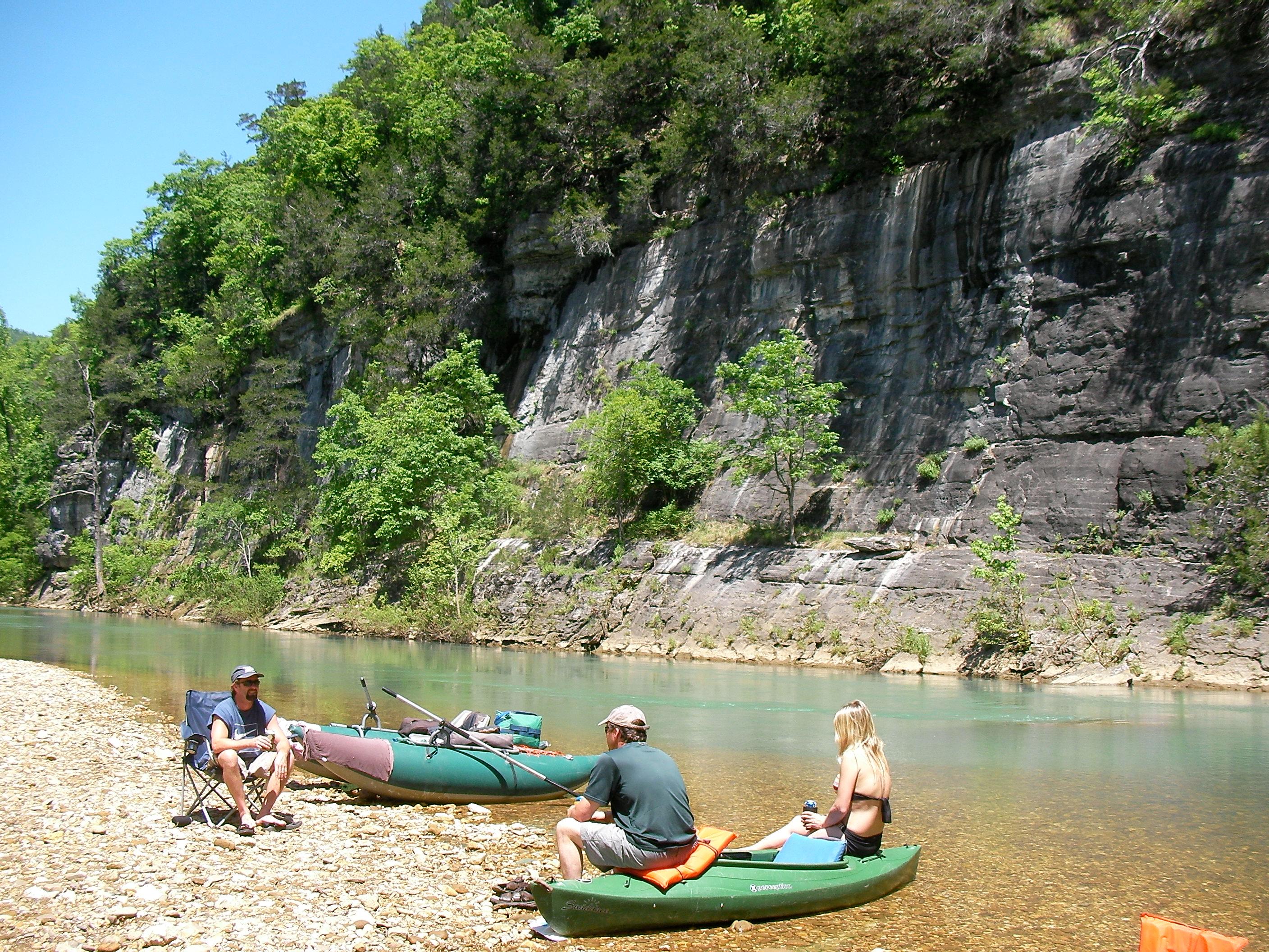
Several scenic places along this stretch including, Jim's Bluff, Big Bluff, Hemmed-in-Hollow (tallest waterfall in mid-america), Indian Creek and more.
Alternate access is at the Steel Creek Campground 2.6 miles downstream of the Ponca access and 8 miles above Kyle's Landing Campground access
Gauges changed dramatically after the November 2024 Flood - NPS and USGS have now switched to CFS based reccomendations, and latest AW updates (as of 5/19/2025) reflect this new information.
Rapids in this Run (1)
Difficulty
Class II
Length
11.0 mi
Rapids
1
Access Points
Difficulty Classes
I Easy
II Novice
III Intermediate
IV Advanced
V Expert/Extreme
VI Unrunnable
Current Conditions
5-Day Forecast
Whitewater data from
American Whitewater
American Whitewater