3. Quartz Creek to Cussed Hollow (The Falls)
Gauge Conditions
Runnable: 300.0 – 3,000.0 CFS
At lower flows the top tier in Upper Falls becomes too shallow but Lower Falls is more runnable. At medium flows Upper Falls can be run by way of double drop
Data from American Whitewater & USGS
Run Map
Run Time Estimate
Select put-in and take-out to estimate time.
Plan This Trip
See wind-adjusted speed maps, forecast planning, and detailed time estimates.
Sign in to generate an AI timing estimate for this run.
Whitewater timing varies with scouting, portages, and group pace. Use as a planning baseline.
Description
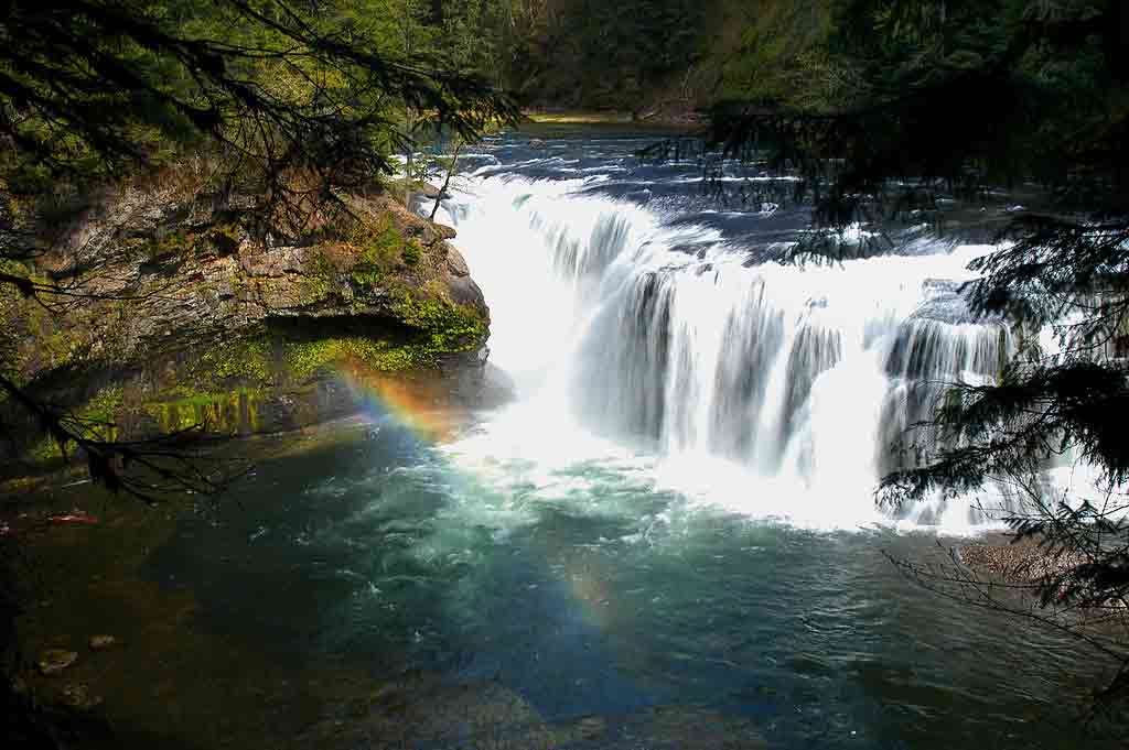
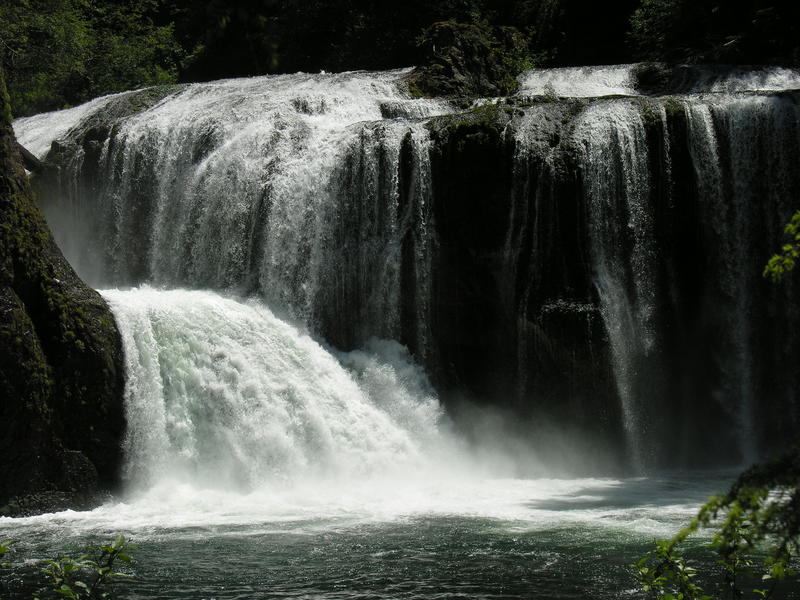
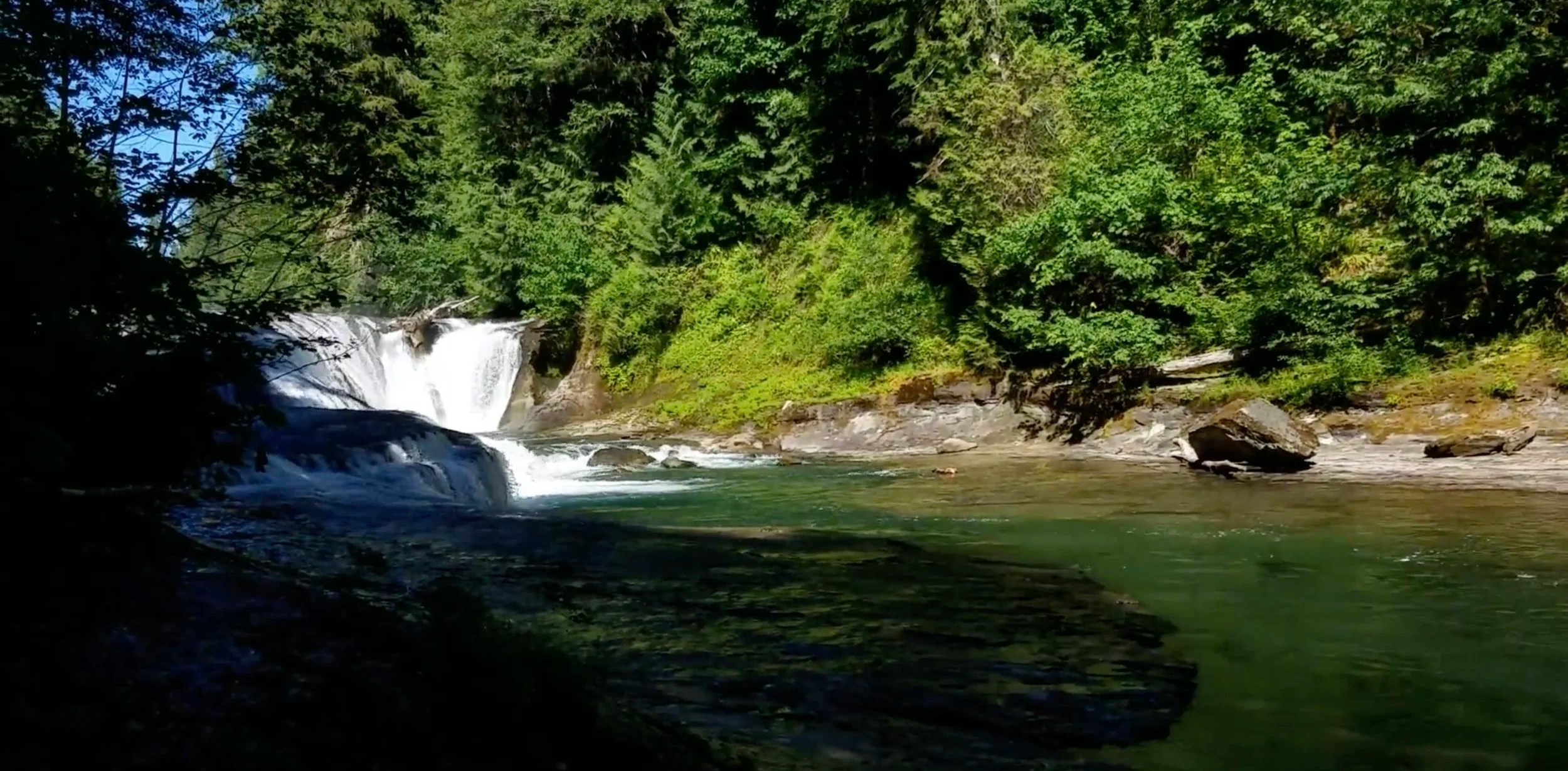
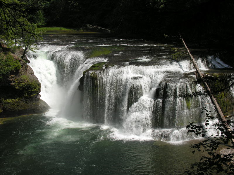
This section of river includes four big waterfalls: Taitnapum (aka Taidnapam), Upper Lewis Falls, Middle Lewis Falls, and Lower Lewis Falls. All are for skilled paddlers with solid experience running big drops and a full safety team. Ideal flows for each drop vary with flow. In the summer the drops become less consequential and make for reasonable 'step-up' waterfalls.
PDX River Explorers has some beta: Lewis River Waterfall Run
And so does Into the Outside: North Fork Lewis
Logistics: The most direct route for most paddlers is to take Highway 530 from I-5 east into Gifford Pinchot National Forest where the road transitions to FR 90 (you can also come in from the Trout Lake side once the road is clear of snow). The Lower Falls Recreation Area is at mile 29.7 on FR 90. The Middle Falls Trailhead is at mile 30.8. The Upper Falls Trailhead at Quartz Creek is at mile 32.5. You can follow this trail along Quartz Creek to the point where it joins the Lewis River just upstream of Taitnapum Falls. The trail is very popular in the summer and you can expect to have spectators.
Difficulty
Class V+
Length
4.1 mi
Rapids
0
Access Points
Difficulty Classes
I Easy
II Novice
III Intermediate
IV Advanced
V Expert/Extreme
VI Unrunnable
Current Conditions
5-Day Forecast
Whitewater data from
American Whitewater
American Whitewater