3. Riverton (Route 50 bridge) to Peavine Ridge Road
Gauge Conditions
Runnable: ? – ? CFS
Approximate reading: This gauge is 1.1 miles away on American. Use as a general reference only.
Data from American Whitewater & USGS
CDEC Flow Data California
Data from California Data Exchange Center (CDEC)
Run Map
Run Time Estimate
Select put-in and take-out to estimate time.
Plan This Trip
See wind-adjusted speed maps, forecast planning, and detailed time estimates.
Sign in to generate an AI timing estimate for this run.
Whitewater timing varies with scouting, portages, and group pace. Use as a planning baseline.
Description
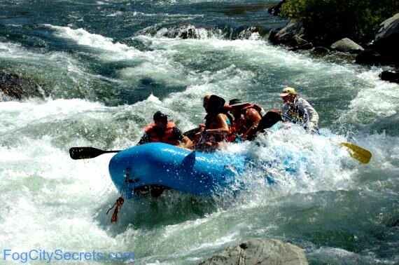
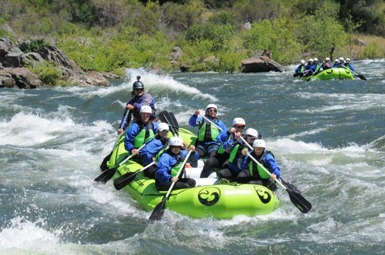
This is a great run for aspiring class IV boaters looking for an introduction to the free-flowing sections of the South Fork American but who aren't ready to tackle Kyburz. After the Hwy 50 bridge, the river pulls away from the road and leaves you in a scenic middle-elevation Sierra gorge.
To make this run a bit longer, you can put-in several miles upstream at the bottom of Whitehall rapid and combine the lower part of Kyburz with this run for a fun class III+/IV- day.
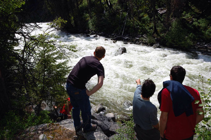
The standard takeout is a high-clearance 4WD only dirt road, but you can also park at the top of that road and walk the 1/4-1/2mi. Note that the Peavine Ridge Road is on Google Maps on both sides of the river, but the access and much shorter drive is from river left/south side. You can also take out at the USFS Bridal Veil picnic ground for a small fee, although you will miss a very scenic gorge at the end and a couple of class III drops. Do not park your car on the shoulder of Hwy 50 near Bridal Veil - CHP patrols this and tickets.
Other information sources:
CaCreeks.com
AWetState.com
Rapids in this Run (3)
Difficulty
Class III-IV
Length
3.4 mi
Gradient
70 ft/mi
Rapids
3
Access Points
Difficulty Classes
I Easy
II Novice
III Intermediate
IV Advanced
V Expert/Extreme
VI Unrunnable
Current Conditions
5-Day Forecast
Whitewater data from
American Whitewater
American Whitewater